
Explore
Intelligence
Difficulty & Readiness Guide
Is Khatling Glacier Expedition Difficult? — Fitness & Altitude Guide
Technically demanding glacier crossing with a high-pass traverse.
The Question
Can I do this trip?
Preparation Required
Advanced
Prior Experience
Required: At least 2-3 moderate Himalayan treks (above 13,000ft).
Expert Verdict
Highly technical peak requiring physical and mental preparation.
High-Altitude Crossing — Grading Context
At 64/100 on the ExpeditionDifficulty Scale, this is one of India's most demanding high-altitude crossings. Due to the remoteness, sustained altitude, and total daily effort, this crossing demands elite fitness and prior high-altitude experience.
Khatling Glacier Expedition
Himalayan Placement · Index 64Route Knowledge
Why is it difficult?
Exertion Index
Primary Challenge
Route Identity
Demanding glaciated pass crossing requiring sustained altitude endurance.
Primary Drivers
- Maximum sleeping altitude of 16,200 ft
- 4 consecutive high-output trekking days
- Peak daily distance of 20 km
View Full Route Analysis
Physiological Demand
Expect long, exhausting days of sustained climbing at high intensity. Your cardiovascular system will be pushed to its absolute limit.
Steep, punishing ascents and descents that will heavily tax your knees, ankles, and overall joint stability.
Significant time spent above 12,000ft. Expect shortness of breath and slower pacing.
Rough, uneven trails with occasional scrambling or minor exposure.
Comfortable pacing with good recovery options.
Terrain Breakdown
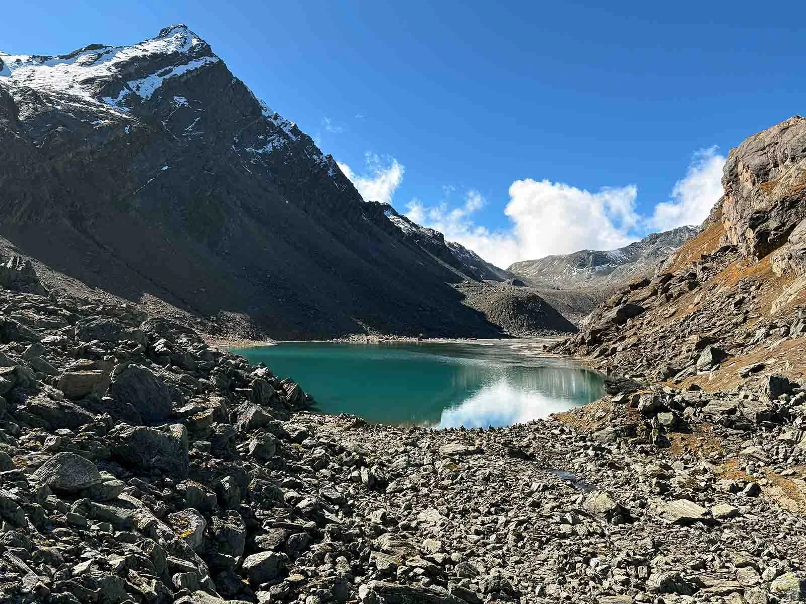
Highly diverse. From traditional villages and lush meadows (Bugyals) to raw, rugged glacial moraines, boulder zones, and scree near the glacier.
Summit Day Notes
Reaching the glacier snout demands navigating treacherous, uneven terrain, potential snowfields, and deep crevasses.
Altitude Profile
Glacier sits at ~3,700m to 3,900m. Extended itineraries crossing passes (like Auden's Col) can reach 5,000m+ (17,000 ft).
Run AMS Risk Audit →Trail Performance Data
Personal Readiness
Am I ready?
What this route demands
People who feel comfortable on this expedition can usually:
Who Can Do This Trip?
Hazard Profile
What goes wrong?
Safety & Medical Risks
Key Risks
Crevasse fall on Khatling
Severe AMS at Masar Tal
Rockfall on Mayali descent
AMS (Altitude Sickness)
Very high risk due to rapid gain to Masar Tal (16,200ft).
Evacuation Route
Back to Gangi via Bhilangna valley
Solo Trekking
Solo trekking is strongly discouraged. The route traverses remote glacial moraines with no 'teahouse' connectivity, making self-rescue impossible.
Tactical Emergency Hub
> Evacuate manually to Ghuttu. Helipad available at Ghuttu for critical air rescue.
Auditability
How is this calculated?
Understand This Route Further
Before attempting this route:
Still deciding?
Compare routes side-by-side to find the perfect match for your fitness, dates, and budget.
Still think it's doable? Share this with your trek mate and see if they agree.
Step 2: Seasonal Safety
You know how demanding this route is.
Now find the safest and most reliable season to attempt it.
Check Best Time to Go