
Explore
Intelligence
Detailed Route
Tosamaidan Trek Itinerary — Day by Day Route & Camps
A well-paced 6-day trek. Ascend through pine forests to reach the massive Tosa Maidan meadow, acclimatize, and then push up to explore a network of pristine alpine lakes.
Standard RouteThis is the standard mountain pacing for this trek. Specific operators may add an acclimatization day or alter the starting point. Check individual operator schedules for their exact logistics.
Duration
6 Days
Total Distance
58.0 KM
Max Altitude
13,500 FT
Trek Type
circuit
Permits Required Before You Go
Permit Cost
Where to Get
Srinagar Tourist Reception Centre (TRC)
Documents
Original Aadhar Card / Passport
Foreign Nationals
Allowed, but passport copies must be submitted to the TRC and local police station by the operator.
Foreigner Process
Standard registration at the Srinagar TRC. Keep passport copies handy.
Nearest Embassy Hub
New Delhi
Day by Day Breakdown
Camp Alt
9,500 ft
Day Gain
+2,500 ft
Drive to Drung & Trek to Dhanwas
After a 2-hour drive from Srinagar to the beautiful village of Drung (famous for its frozen waterfall in winter), the trek begins. The trail immediately ascends through thick, dark coniferous forests of pine and fir. The gradient is moderately steep until you break the tree line and arrive at the clearing of Dhanwas, where you will set up your first camp.
Key Landmarks
Staying At
The trail follows the mountain river corridor through a narrow, forested gorge, moving past traditional settlements into increasingly dense dense forested valleys.
Camp Alt
11,000 ft
Day Gain
+1,500 ft
Reach Pehjan
The landscape opens up entirely. You leave the dense forests behind and enter the rolling alpine pastures. The trail is gentle, passing numerous traditional mud-and-wood huts belonging to the Gujjar and Bakarwal shepherds who bring their flocks here for the summer. You camp at Pehjan, a beautiful meadow surrounded by distant peaks.
Key Landmarks
Staying At
The route moves through forested zones. The environment transitions into open alpine meadows. The path breaches the mountain barrier crossing the watershed.
Camp Alt
10,500 ft
Day Gain
-500 ft
Reach Tosa Maidan
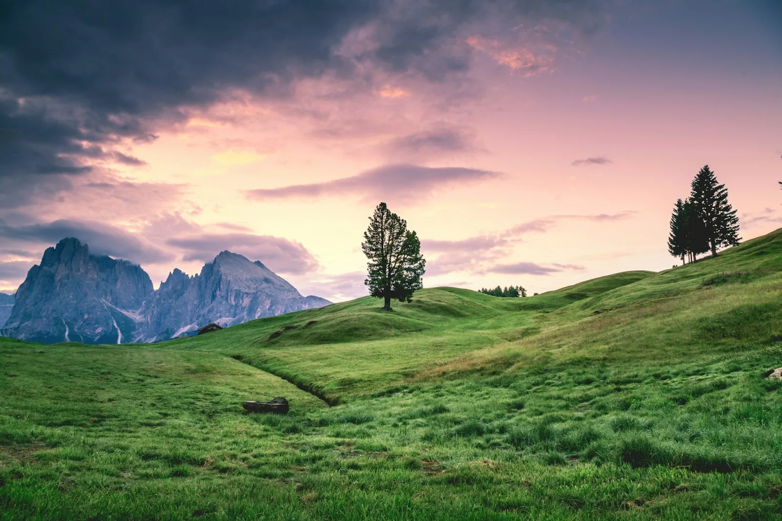
Today you enter the 'King of Meadows'. Tosa Maidan is a staggering 3,000-acre bowl of pure green grass. The sheer scale of the meadow is breathtaking. You will walk across this historic expanse, crossing small streams and enjoying unobstructed views of the Pir Panjal range. You will camp right in the heart of the great meadow.
Key Landmarks
Staying At
The environment transitions into open alpine meadows. The route follows the river valley.
Field Notes
KEY ACTIONRiver Crossings
Plan to cross early in the day before snowmelt swells the water levels. Unclip backpack waist belts before crossing.
Camp Alt
11,500 ft
Day Gain
+1,000 ft
Reach Noonwan
You leave the flat expanse of Tosa Maidan and begin ascending towards the rocky base of the Pir Panjal peaks. The trek is short, allowing for rest and acclimatization before tomorrow's big push to the lakes. Noonwan is a higher, colder camp situated near the glacial streams.
Key Landmarks
Staying At
Tree line disappears as the valley broadens into a spectacular high-altitude alpine meadow basin, replacing the dense forests with expansive grazing pastures.
Field Notes
KEY ACTIONRiver Crossings
Plan to cross early in the day before snowmelt swells the water levels. Unclip backpack waist belts before crossing.
Use Trekking Poles
Trekking poles are highly recommended to save your knees on the descent.
INFOSlower Progress
Progress will be significantly slower and more taxing on your ankles than trail distance suggests.
Camp Alt
11,500 ft
Day Gain
0 ft
Today's Objective
🏔 Cross Greater Lakes
The most challenging and rewarding day. You leave your heavy bags at camp and ascend steeply through rocky moraine into the high alpine bowls. You will visit a series of stunning, untouched glacial lakes, including Godsar, Neelsar, and Dhamamsar. The water color shifts from deep blue to turquoise depending on the light. After exploring the lakes, descend safely back to Noonwan.
Key Landmarks
Staying At
Crossing the high-altitude pass bridges two distinct watershed systems, shifting the expedition over the glaciated divide and down into a new river basin.
Field Notes
Use Trekking Poles
Trekking poles are highly recommended to save your knees on the descent.
INFOSlower Progress
Progress will be significantly slower and more taxing on your ankles than trail distance suggests.
Camp Alt
7,000 ft
Day Gain
-4,500 ft
Trek to Drung & Drive to Srinagar
A long descent day. You retrace parts of your route, cutting through the meadows and plunging back down into the dense pine forests. The descent of 4,500 ft is tough on the knees. You will arrive back at Drung village by mid-afternoon, where your transport will be waiting to drive you back to Srinagar.
Key Landmarks
The route moves through forested zones. The environment transitions into open alpine meadows.
Trek Extensions & Add-ons
Poonch Crossover
+3 DaysHistorically, one could cross from Tosa Maidan directly into the Poonch district, though this requires special military clearance today.
Plan Your Trek:
Ready to book? Compare verified operators for Tosamaidan Trek — transparent pricing, no paid rankings.
Still deciding?
Compare routes side-by-side to find the perfect match for your fitness, dates, and budget.
Day by day, camp by camp. Send this to your group so everyone's on the same page.
Step 4: Cost & Logistics
You understand the route.
Now see what services, permits, and logistics actually cost.
View Cost Breakdown