
Explore
Intelligence
Essential Planning Guide
Tosamaidan Trek — Complete Guide (2026)
Vibe & Scenery
The Experience
Introduction
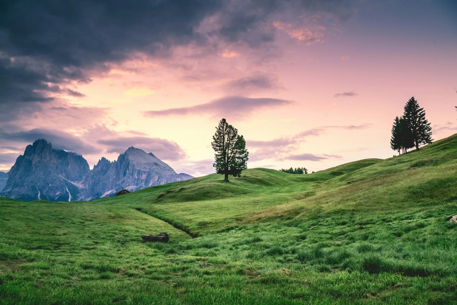
For decades, Tosa Maidan remained inaccessible after being used as an artillery firing range. Since reopening to visitors, this enormous alpine meadow—often called the "King of Meadows"—has become one of Kashmir's most remarkable wilderness destinations.
Beyond the rolling grasslands, the trail climbs into the Pir Panjal Range, visiting secluded alpine lakes including Neelsar, Dhamamsar, and Godsar while passing through forests and traditional Gujjar grazing grounds. Unlike Kashmir's better-known trekking routes, Tosa Maidan combines cultural history with expansive landscapes and relatively low visitor numbers.
Moderate distances combined with sustained mountain walking make this trek suitable for hikers with good fitness seeking a quieter alternative to the Kashmir Great Lakes Trek.
Quick Facts
Duration
Max Altitude
Difficulty
Best Time
Trek Distance
Trail Atmosphere
Stargazing
Class 2 Dark Sky
Scent Profile
Silence Level
~25 dB
Vertigo Factor
2 / 10
Iconic Spots
Tosa Maidan Meadow
Godsar Lake
Gujjar Settlements
Environment
Nature & Culture
Flora & Fauna
Flora
Fauna
The meadow is a historic crossroad. It was the traditional route into the Poonch valley and was used by Mughal emperors to enter Kashmir.
— Local folklore
Spiritual & Cultural Significance
The Gujjar and Bakarwal communities have grazed their flocks here for centuries. It is a deep cultural immersion into Kashmir's pastoral life.
Temple Protocols
Technical Details
Challenge & Preparation
Primarily a cardio demand challenge
A capable trekker's route that balances cardio demand and cumulative fatigue.
Personal Readiness
Am I ready?
Planning
Logistics & Trail Intel
Getting There
Route to Base
Fly to Srinagar
Drung is a 2-hour drive (42 km) via Tangmarg
Base Village
Drung (Budgam District)
7,000 ft
Last ATM
Srinagar / Tangmarg
Nearest Medical Facility
Tangmarg Sub-District Hospital.
Mobile Signal
Total blackout after Drung.
Water Sources
Abundant glacial streams and meadow springs. Must be purified due to heavy livestock grazing.
Charging
Total blackout.
For Drivers
Road Condition
Srinagar to Tangmarg is an excellent highway. The final short stretch to Drung is a narrower village road.
Tangmarg
Trail Culinary & Diet
Don't miss the Wazwan in Srinagar post-trek
Buy specialized diet items at Srinagar
The Content & Remote Hub
No DronesDrones are highly restricted due to the area's history as a military artillery range and ongoing security protocols.Top Vlog Spots
Video Calls
none
Est. 15 Mbps
UPI Reliability
4/10
Permits and Regulations
Standard trekking permits are required from the J&K Tourism and Forest Departments. Due to its history as an artillery range and proximity to military zones, carrying an original government ID is mandatory for all checkpoints.
Learn more about how we vet operators and ensure transparency on our why MountRoutes page.
Packing List
High-Altitude Clothing
- Heavyweight down jacket (-5°C rating)
- Gore-Tex windproof/waterproof outer shell
- Thermal base layers (Top and Bottom)
- Fleece mid-layer
- Quick-dry trekking pants (x2)
Footwear & Protection
- High-ankle, waterproof trekking boots
- Merino wool trekking socks (x3 pairs)
- Waterproof gaiters (for morning dew and early season snow)
- Camp sandals (essential for resting feet at the meadows)
Camping Gear
- 40-50L backpack with integrated rain cover
- Trekking poles
- 3-season sleeping bag (-5°C comfort)
- Headlamp with spare batteries
Health & Accessories
- Category 3 UV sunglasses
- Sunscreen (SPF 50+) and lip balm
- Personal medical kit (Diamox, blister tape)
- Water purification tablets
Deep Dives
Explore Further
Editor's Notes
Explore In Detail
Day by Day Itinerary
6-day route reaching 13,500ft. Covers 58.0km of varied terrain.
→ See full itinerary with altitude profileDifficulty & Fitness
Rated moderate. The trek is roughly 30% steep forest trail, 50% flat rolling alpine meadows, and 20% steep rocky moraine (near the lakes).
→ See difficulty breakdown and fitness guideCost & Pricing
Packages range from 14,000 - 18,000 INR. Inclusions and hidden costs vary by operator tier.
→ See full cost breakdownFrequently Asked Questions
Is Tosa Maidan safe from unexploded artillery shells?
Yes. Following the end of the lease in 2014, the Indian Army launched 'Operation Tosa Maidan' to systematically clear the meadows of unexploded ordnance (UXO). The trekking routes and camping zones are entirely safe and thoroughly swept.
How does it compare to the Kashmir Great Lakes (KGL) trek?
KGL is extremely popular and can see hundreds of trekkers a day. Tosa Maidan is highly offbeat; you will likely be the only trekking group on the trail. While KGL focuses on lakes, Tosa Maidan balances massive meadows with a specific lake-exploration day.
Is this trek suitable for beginners?
Yes, fit beginners can do this. The gradients are generally gentle rolling meadows, except for the steep push to the Greater Lakes on Day 5. It is considered a Moderate trek.
Will I have mobile network?
You will have a signal at the base village of Drung. Once you ascend towards Dhanwas, you will experience a total network blackout for the duration of the trek.
Can I do this trek independently?
It is highly discouraged. The trails are used primarily by Gujjar shepherds and are completely unmarked. In the vast meadows, navigation in fog is nearly impossible without a local guide.
Are there river crossings?
There are minor stream crossings, but nothing dangerous like the glacial rivers found in Zanskar or Warwan. Standard waterproof boots are sufficient.
Are there wild animals?
The dense forests around Pehjan and Drung are home to Himalayan Brown Bears. Trekking in groups and keeping campsites free of food smells is mandatory.
What is the altitude profile like?
Very safe. The camps range between 9,500 ft and 11,500 ft, allowing for gradual acclimatization before the 13,500 ft summit push to the lakes.
Still deciding?
Compare routes side-by-side to find the perfect match for your fitness, dates, and budget.
Everything you need to know, in one place. Someone else in your group needs to see this.
Planning Tosamaidan Trek?
Get route conditions, operator updates, and season windows before booking.
Don't miss out! Follow us for route updates@mountroutes|LinkedIn
No spam. Only useful trek updates.
Ready to walk this route?
You’ve read the guide, now find the perfect local team to take you there. Compare our verified list of operators.
Compare verified operators