
Explore
Intelligence
Detailed Route
Shinkal Dhar Ridge Trek Itinerary — Day by Day Route & Camps
A 4-day immersive expedition traversing diverse Himalayan landscapes and alpine altitudes.
Standard RouteThis is the standard mountain pacing for this trek. Specific operators may add an acclimatization day or alter the starting point. Check individual operator schedules for their exact logistics.
Duration
4 Days
Total Distance
22 KM
Max Altitude
12,400 FT
Trek Type
linear
Permits Required Before You Go
Permit Cost
Where to Get
Base Checkpost Office
Documents
Aadhar/Passport Copy, 2 Passport Photos, Medical Certificate, Disclaimer Form
Foreign Nationals
Foreign nationals require standard valid visa and passport copies for logging at forest checkposts.
Foreigner Process
No special permits.
Nearest Embassy Hub
New Delhi
Day by Day Breakdown
Camp Alt
10,500 ft
Day Gain
+4,700 ft
Drive to Shoja & Trek to Kullu Approach Camp
Trek southeast from Shoja gaining altitude steadily through excellent deodar forest. The forest opens into meadows that serve as the Kullu-side approach to the Shinkal Dhar ridge above.
Key Landmarks
Staying At
The trail follows the Beas river corridor through a narrow, forested gorge, moving past traditional settlements into increasingly dense lush deodar forests.
Camp Alt
12,400 ft
Day Gain
+1,900 ft
Today's Objective
🏔 Cross Shinkal Dhar Ridge
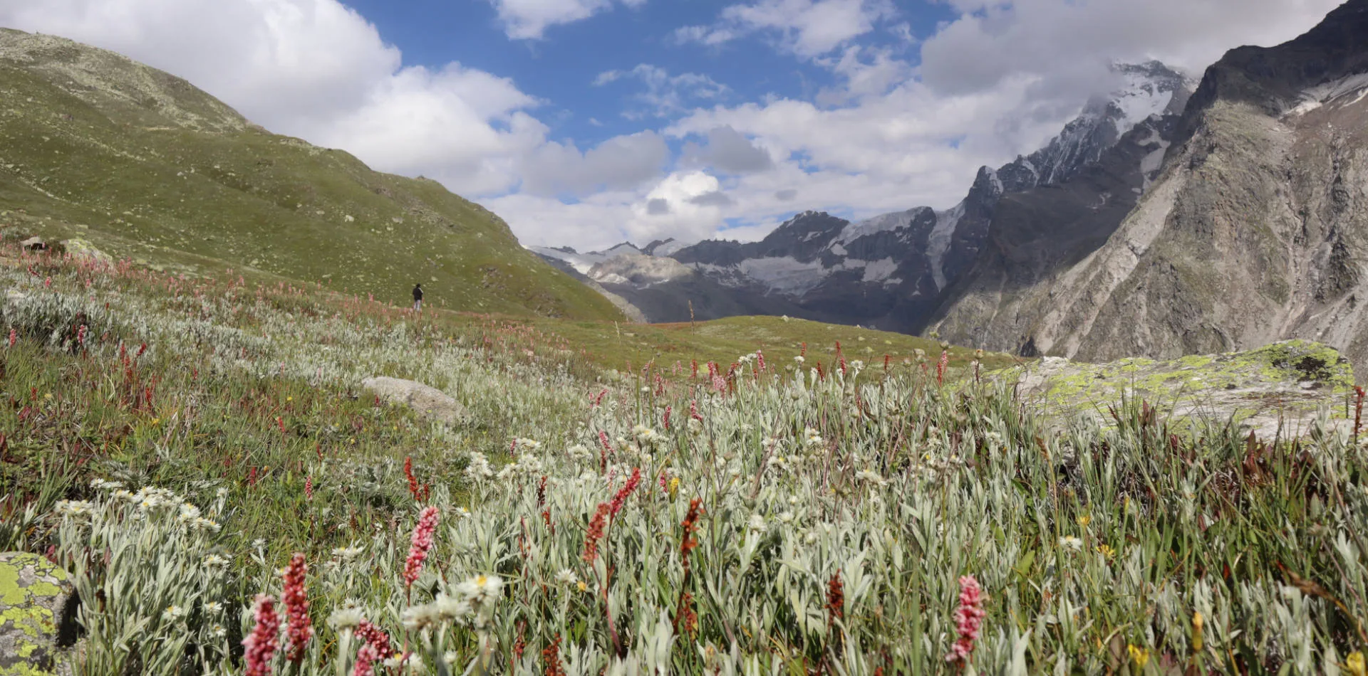
The spectacular day. Climb to the ridge crest and walk south along it for 2-3 km. The wind is strong but the views are extraordinary in both directions. Camp just below the ridge on the Shimla side — slightly sheltered from the main wind.
Key Landmarks
Staying At
Crossing the high-altitude pass bridges two distinct watershed systems, shifting the expedition over the glaciated divide and down into a new river basin.
Camp Alt
9,200 ft
Day Gain
-3,200 ft
Descend to Mid-Valley
Descend the Shimla side through a completely different landscape — the dense oak and rhododendron forests of the Rohru area, with the Pabbar valley opening below.
Key Landmarks
Staying At
The high alpine meadows narrow into forested river terraces as tree line vegetation reappears in the lower mountain river corridor.
Camp Alt
7,500 ft
Day Gain
-1,700 ft
Trek to Chirgaon / Rohru
Final descent to road access near Chirgaon — the entry village for the Chandranahan Lake trek. This creates the option for a natural onward connection to the Chandranahan lakes if desired.
Key Landmarks
The high alpine meadows narrow into forested river terraces as tree line vegetation reappears in the lower mountain river corridor.
Trek Extensions & Add-ons
Chandranahan Lake Connection
+3 DaysAfter finishing the Shinkal Dhar crossover at Chirgaon, continue into the Chandranahan Lake trek — a natural 7-day combined adventure.
Plan Your Trek:
Ready to book? Compare verified operators for Shinkal Dhar Ridge Trek — transparent pricing, no paid rankings.
Still deciding?
Compare routes side-by-side to find the perfect match for your fitness, dates, and budget.
Day by day, camp by camp. Send this to your group so everyone's on the same page.
Step 4: Cost & Logistics
You understand the route.
Now see what services, permits, and logistics actually cost.
View Cost Breakdown