
Explore
Intelligence
Difficulty & Readiness Guide
Is Sham Valley Trek Difficult? — Fitness & Altitude Guide
An Easy trek. Often called the 'Baby Trek', it stays below 12,800 ft with gentle gradients, making it the perfect family-friendly introduction to Ladakh.
The Question
Can I do this trek?
Preparation Required
Intermediate
Prior Experience
Recommended: 1-2 easy Himalayan treks or regular hiking experience.
Expert Verdict
Highly technical trek requiring physical and mental preparation.
Route Knowledge
Why is it difficult?
Exertion Index
Primary Challenge
Route Identity
Fast-paced or high-mileage route demanding excellent cardiovascular fitness across a pass-crossing route.
Primary Drivers
- Maximum sleeping altitude of 12,100 ft
View Full Route Analysis
Physiological Demand
Challenging daily distances and steady climbs. Good cardiovascular fitness is required.
Well-defined, stable trails with no technical maneuvers required.
Below the major effects of altitude sickness. Air remains relatively dense.
Comfortable pacing with good recovery options.
Terrain Breakdown
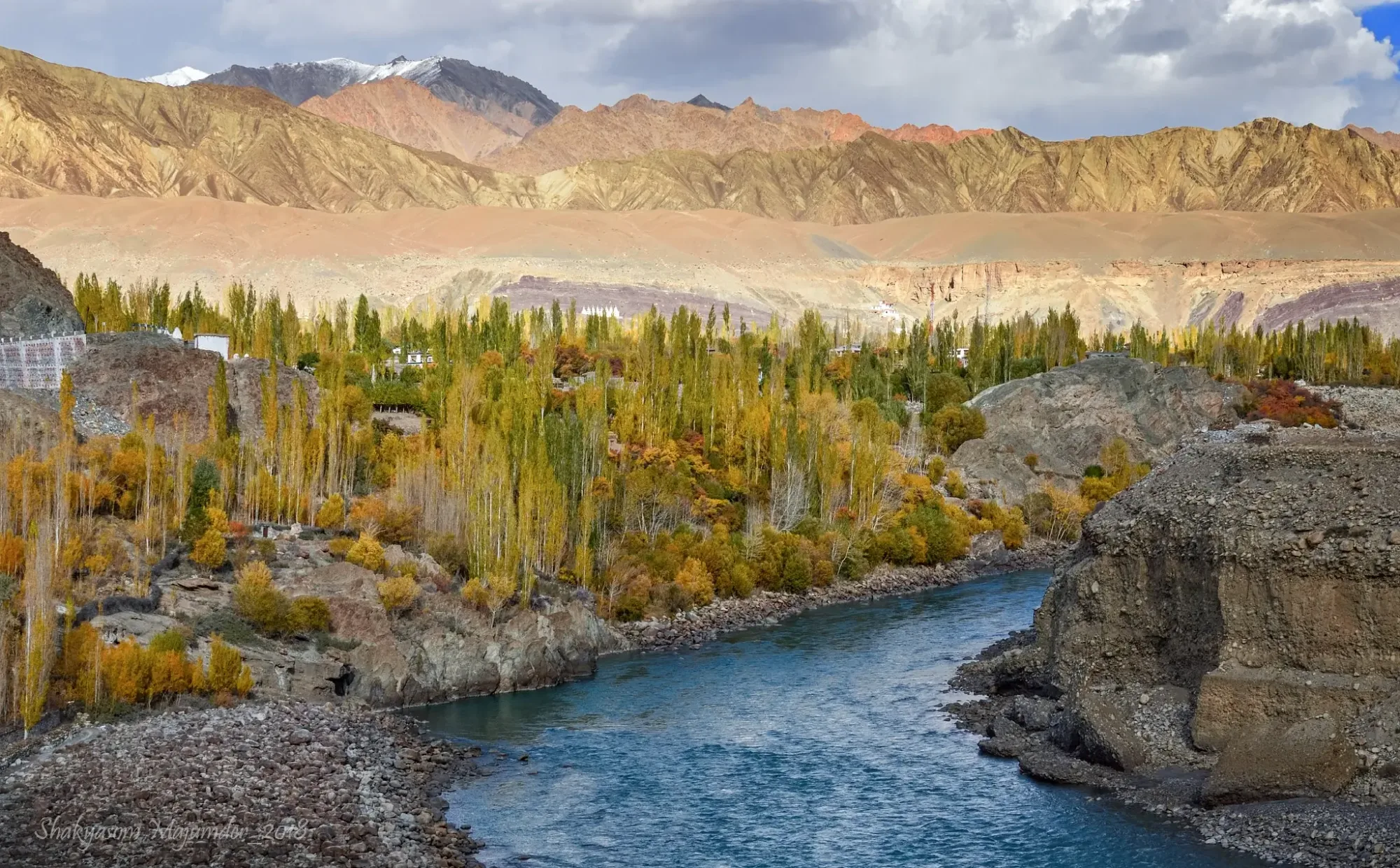
The trail is mostly dry, dusty, and barren. It is well-defined and features very gradual ascents to the passes. There are no technical scree slopes or glacier crossings.
Summit Day Notes
Every day features a minor 'pass' crossing, but none exceed 12,800 ft. The challenge is the relentless sun exposure rather than steep gradients.
The Descent
Descents into the villages are easy and scenic, often following ancient irrigation channels (Yuras).
Altitude Profile
The trek stays consistently between 10,500 ft and 12,800 ft. You are essentially walking parallel to the Indus valley floor.
Run AMS Risk Audit →Trail Performance Data
Max Gradient
20%
Hydration
0.8L per km recommended
Loose Surface Sections
- •Minor dusty descents from the passes
Personal Readiness
Am I ready?
What this route demands
People who feel comfortable on this route can usually:
Who Can Do This Trek?
Min Age
7+
Max Age
65
Western Toilets at Base
Yes
Solo Female Travelers
Ladakh is exceptionally safe. The homestay hosts are predominantly female and incredibly hospitable. Perfectly safe for solo female travelers.
Hazard Profile
What goes wrong?
Common Mistakes on Sham Valley Trek
Most injuries and failures on this trail can be avoided by making smarter decisions early on.
Wearing heavy mountaineering boots. The terrain is flat and dry; heavy boots will cause unnecessary fatigue.
Failing to reapply sunscreen, resulting in severe sunburns.
Starting the trek without acclimatizing in Leh for 48 hours.
Safety & Medical Risks
Key Risks
Sunstroke and severe dehydration
Acute Mountain Sickness (if not acclimatized in Leh first)
AMS (Altitude Sickness)
Because the maximum altitude is 12,800 ft (and you sleep lower), AMS is rare *if* you have spent 48 hours resting in Leh prior to starting.
Evacuation Route
All villages on this trek are connected by rural dirt roads. In an emergency, a vehicle can be summoned to evacuate the patient directly back to Leh within 2-3 hours.
Solo Trekking
Highly feasible and safe for solo trekkers. The villages are close, the locals are incredibly welcoming, and the trail is straightforward.
Common Trail Ailments
🏥 Nearest ICU: SNM Hospital, Leh
Tactical Emergency Hub
> Evacuation is done via 4x4 vehicles. All villages are connected to the main Leh-Kargil highway by unpaved link roads.
Auditability
How is this calculated?
Understand This Route Further
Before attempting this route:
Still deciding?
Compare routes side-by-side to find the perfect match for your fitness, dates, and budget.
Still think it's doable? Share this with your trek mate and see if they agree.
Step 2: Seasonal Safety
You know how demanding this route is.
Now find the safest and most reliable season to attempt it.
Check Best Time to Go