Explore
Intelligence
Difficulty & Readiness Guide
Is Sar Pass Trek Difficult? — Fitness & Altitude Guide
Intermediate.
The Question
Can I do this trek?
Preparation Required
Intermediate
Prior Experience
Recommended: 1-2 easy Himalayan treks or regular hiking experience.
Expert Verdict
Highly technical trek requiring physical and mental preparation.
Sar Pass Trek
Himalayan Placement · Index 43Route Knowledge
Why is it difficult?
Exertion Index
Primary Challenge
Route Identity
High-impact route characterised by steep gradients and heavy joint loading across a pass-crossing route featuring loose moraine.
Primary Drivers
- Maximum sleeping altitude of 12,500 ft
- 3 consecutive high-output trekking days
- Peak daily distance of 14 km
View Full Route Analysis
Physiological Demand
Steep, punishing ascents and descents that will heavily tax your knees, ankles, and overall joint stability.
Challenging daily distances and steady climbs. Good cardiovascular fitness is required.
Significant time spent above 12,000ft. Expect shortness of breath and slower pacing.
Comfortable pacing with good recovery options.
Well-defined, stable trails with no technical maneuvers required.
Terrain Breakdown
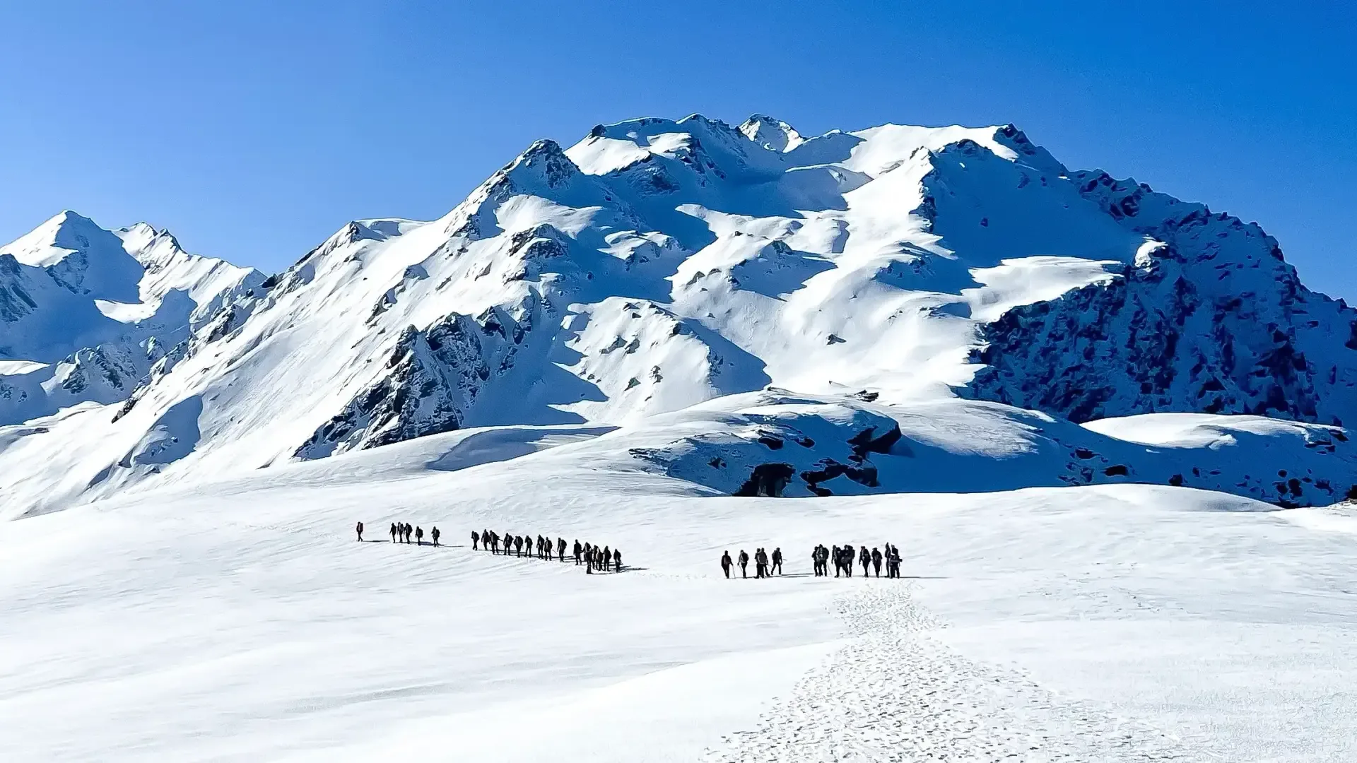
Forest (Day 1), steep meadows (Day 2), snow fields (Day 3-4), long forest descent (Day 5). The snow section requires microspikes in May-June.
Summit Day Notes
Altitude: 13,800ft. Oxygen approx 63%. The ice slide is the signature moment — controlled but requires nerve.
The Descent
Day 5 is a 5,000ft drop — brutal on knees. Use poles aggressively.
Altitude Profile
5.2k -> 7.7k -> 10.8k -> 12.5k -> 13.8k. Progressive and well-designed.
Run AMS Risk Audit →Trail Performance Data
Max Gradient
40%
Hydration
0.5L per km recommended
Loose Surface Sections
- •Final pass climb (very steep)
- •Biskeri descent (loose rocks)
Personal Readiness
Am I ready?
What this route demands
People who feel comfortable on this route can usually:
Who Can Do This Trek?
Min Age
12+
Max Age
55
Western Toilets at Base
Yes
Solo Female Travelers
High; very popular and social trail with hundreds of trekkers in peak season.
Hazard Profile
What goes wrong?
Common Mistakes on Sar Pass Trek
Most injuries and failures on this trail can be avoided by making smarter decisions early on.
Skipping microspikes — the snow fields above Min Thach are treacherous without them.
Not carrying enough water above the tree line.
Panicking on the ice slide — it's safe if you follow instructions.
Wearing heavy boots for the slide — lighter shoes slide better.
Underestimating the Day 5 descent length.
Safety & Medical Risks
Key Risks
AMS at Nagaru (12,500ft) and the pass (13,800ft)
Ice slide injury if instructions not followed
Snow blindness above tree line
Hypothermia at Nagaru (wind + altitude)
AMS (Altitude Sickness)
Moderate risk. Well-managed with the progressive altitude gain. Nagaru is the critical night.
Evacuation Route
Descend to Grahan (Parvati side) or Biskeri (Sainj side). Jeep to Bhuntar.
Solo Trekking
Not recommended solo. The snow section requires group navigation. The ice slide should only be done with a trained guide.
Common Trail Ailments
🏥 Nearest ICU: Regional Hospital, Kullu
Tactical Emergency Hub
> Quickest descent via Grahan village (1.5 days). Kasol has primary health centers and is a 1.5 hr drive to Kullu District Hospital.
Auditability
How is this calculated?
Understand This Route Further
Before attempting this route:
Still deciding?
Compare routes side-by-side to find the perfect match for your fitness, dates, and budget.
Still think it's doable? Share this with your trek mate and see if they agree.
Step 2: Seasonal Safety
You know how demanding this route is.
Now find the safest and most reliable season to attempt it.
Check Best Time to Go