
Explore
Intelligence
Detailed Route
Saptrishi Kund Trek Itinerary — Day by Day Route & Camps
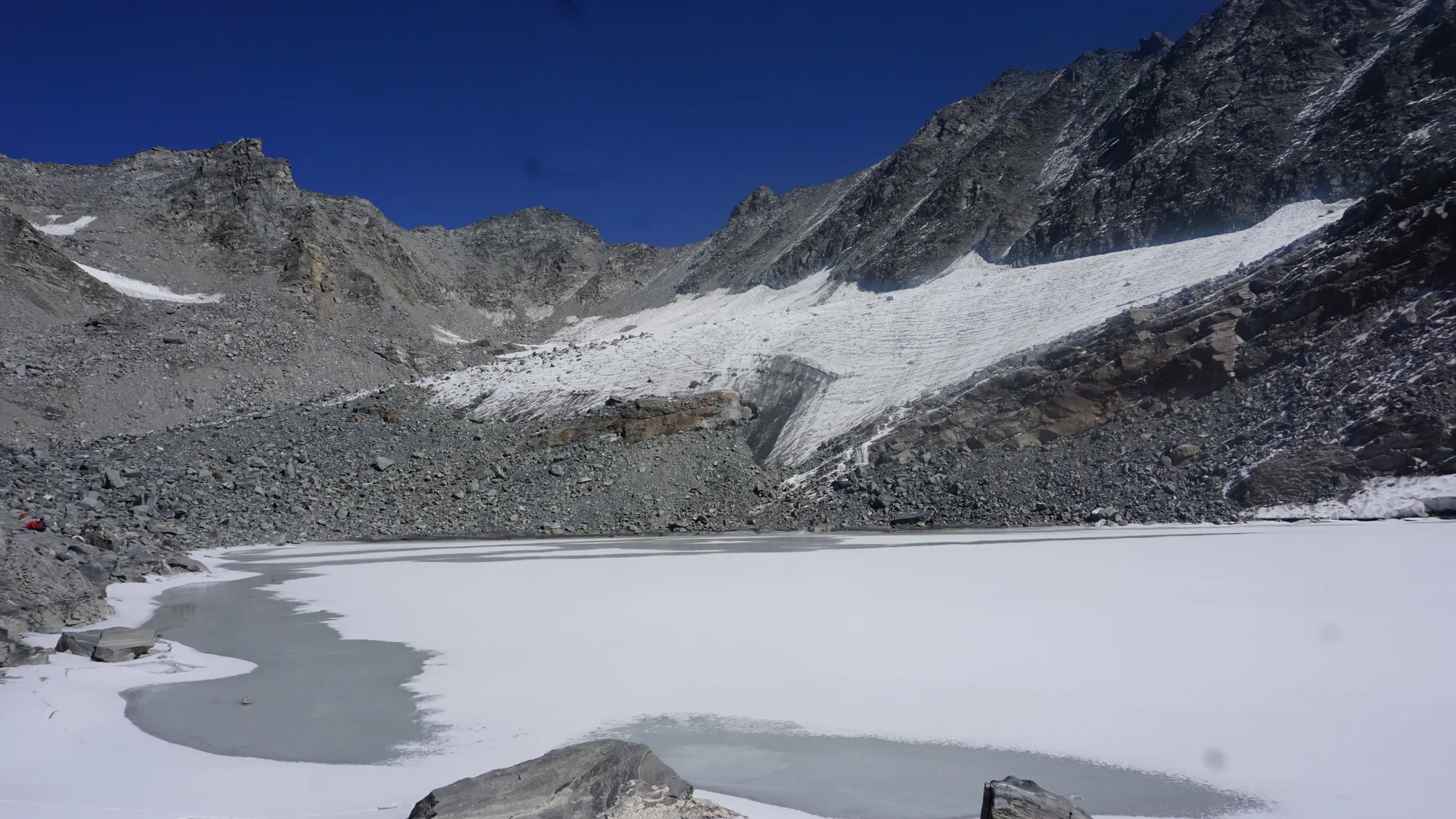
A 4-day intensive push involving a drive to Janki Chatti, a hike to Yamunotri, and a grueling 11-hour summit day to the icy lake.
Standard RouteThis is the standard mountain pacing for this trek. Specific operators may add an acclimatization day or alter the starting point. Check individual operator schedules for their exact logistics.
Duration
4 Days
Total Distance
26.0 KM
Max Altitude
14,500 FT
Trek Type
circuit
Permits Required Before You Go
Permit Cost
Where to Get
Uttarkashi or local forest check posts en route.
Documents
Aadhar Card / Passport, Medical Fitness Certificate, Passport size photos
Foreign Nationals
Foreigners require an additional Inner Line Permit/Protected Area Permit depending on specific state regulations at the time.
Foreigner Process
National Park entry fee is significantly higher for non-Indian nationals. Passport copies must be submitted at the Uttarkashi forest office.
Nearest Embassy Hub
New Delhi
Day by Day Breakdown
Camp Alt
8,500 ft
Day Gain
+7,100 ft
Drive from Dehradun to Hanuman Chatti / Janki Chatti
A long, scenic mountain drive navigating the Yamuna valley. Technical: Keep hydrated and eat light before the winding mountain roads. Safety: Final gear check in Janki Chatti. Stock up on diamox and emergency supplies if needed.
Key Landmarks
Staying At
The journey follows the mountain river corridor, transitioning from the broader plains into the steep-sided topography approaching the high country.
Camp Alt
10,800 ft
Day Gain
+2,300 ft
Reach Yamunotri
Ascend alongside the Yamuna river on a well-paved pilgrim trail. Technical: The trail is entirely paved concrete steps, quite crowded with pilgrims and ponies. Keep a steady pace. Safety: Watch out for ponies and dolis (palanquins). Stay mountain-side when giving way.
Key Landmarks
Staying At
The trail follows the Yamuna river corridor through a narrow, forested gorge, moving past traditional settlements into increasingly dense mixed broadleaf forests.
Field Notes
KEY ACTIONRiver Crossings
Plan to cross early in the day before snowmelt swells the water levels. Unclip backpack waist belts before crossing.
Camp Alt
10,800 ft
Day Gain
0 ft
Today's Objective
💧 Reach Yamunotri To Saptarishi Kund
An arduous, steep climb through scree, boulders, and potentially ice. The trail is completely undefined. Start before dawn. Technical: You are ascending 3,700 ft in just 7 km. Expect boulder hopping, scrambling on loose scree, and crossing glacial melt streams. Safety: The descent is steep on the knees and carries a high slip risk. Microspikes are mandatory if snow is present.
Key Landmarks
Staying At
Crossing the high-altitude pass bridges two distinct watershed systems, shifting the expedition over the glaciated divide and down into a new river basin.
Field Notes
KEY ACTIONRiver Crossings
Plan to cross early in the day before snowmelt swells the water levels. Unclip backpack waist belts before crossing.
Use Trekking Poles
Trekking poles are highly recommended to save your knees on the descent.
INFOSlower Progress
Progress will be significantly slower and more taxing on your ankles than trail distance suggests.
Camp Alt
1,400 ft
Day Gain
-9,400 ft
Trek to Janki Chatti & Drive to Dehradun
Descend the pilgrim path, pick up your vehicle at Janki Chatti, and drive down to Dehradun. Technical: Descend carefully on the paved path. Knees might be sore from the Kund descent yesterday. Drive back is long.
Key Landmarks
The high alpine meadows narrow into forested river terraces as tree line vegetation reappears in the lower mountain river corridor.
Trek Extensions & Add-ons
Bali Pass Connect
+4 DaysCross over the formidable Bali Pass (16,200 ft) to enter the Ruinsara Valley and end at Sankri.
Plan Your Trek:
Ready to book? Compare verified operators for Saptrishi Kund Trek — transparent pricing, no paid rankings.
Still deciding?
Compare routes side-by-side to find the perfect match for your fitness, dates, and budget.
Day by day, camp by camp. Send this to your group so everyone's on the same page.
Step 4: Cost & Logistics
You understand the route.
Now see what services, permits, and logistics actually cost.
View Cost Breakdown