
Explore
Intelligence
Detailed Route
Saptkund Trek Itinerary — Day by Day Route & Camps
A 7-day wild traverse starting from the remote village of Jhinji, crossing dense ancient forests and vast bugyals, to reach a base camp beneath the towering ice walls of Nanda Ghunti.
Standard RouteThis is the standard mountain pacing for this trek. Specific operators may add an acclimatization day or alter the starting point. Check individual operator schedules for their exact logistics.
Duration
7 Days
Total Distance
49.0 KM
Max Altitude
16,400 FT
Trek Type
circuit
Permits Required Before You Go
Permit Cost
Where to Get
Forest Office in Ghat or Gopeshwar
Documents
Aadhar Card / Passport, Medical Fitness Certificate (often strictly checked for offbeat routes)
Foreign Nationals
Foreigners require a standard Inner Line Permit/Protected Area Permit for certain zones in Chamoli. Operators handle this.
Foreigner Process
Requires an Inner Line Permit / Forest Permit via a registered Indian trekking agency.
Nearest Embassy Hub
New Delhi
Day by Day Breakdown
Camp Alt
6,000 ft
Day Gain
+4,900 ft
Drive to Jhinji
A long, grueling drive deep into the Garhwal Himalayas. You follow the Alaknanda river past major confluences until Nandprayag, where you divert toward Ghat and finally reach the remote village of Jhinji. Rest and meet your guide team.
Key Landmarks
Staying At
The motorable road navigates deeper into the mountain river corridor, where the landscape transitions from lower foothills into the steep, dense forested valleys.
Camp Alt
10,000 ft
Day Gain
+4,000 ft
Reach Danidar
The trek begins with a steep, relentless ascent right out of the village. The trail plunges into a dense, ancient forest of oak and rhododendron. The tree cover is thick, and the path is often covered in slippery pine needles.
Key Landmarks
Staying At
The trail follows the mountain river corridor through a narrow, forested gorge, moving past traditional settlements into increasingly dense dense forested valleys.
Camp Alt
12,500 ft
Day Gain
+2,500 ft
Reach Simbe Bugyal
You break the treeline today. The dense forest suddenly gives way to the vast, undulating alpine meadows (bugyals) of Simbe. If trekking in September, these meadows will be dotted with rare alpine flowers. The campsite offers the first clear, massive views of the surrounding peaks.
Key Landmarks
Staying At
The route moves through forested zones. The environment transitions into open alpine meadows.
Camp Alt
14,000 ft
Day Gain
+1,500 ft
Reach Jittukudi Base Camp
A short but critical day for acclimatization. The lush meadows are left behind, replaced by raw rock, moraine, and glacial till. You establish your advanced base camp at Jittukudi. Spend the afternoon resting and hydrating for tomorrow's summit push.
Key Landmarks
Staying At
Vegetation gives way to barren glacial debris as the route enters the expansive moraine basin and ablation zone of the glaciated upper watershed.
Field Notes
Use Trekking Poles
Trekking poles are highly recommended to save your knees on the descent.
INFOSlower Progress
Progress will be significantly slower and more taxing on your ankles than trail distance suggests.
Camp Alt
14,000 ft
Day Gain
0 ft
Today's Objective
🏔 Cross Jittukudi To Saptkund
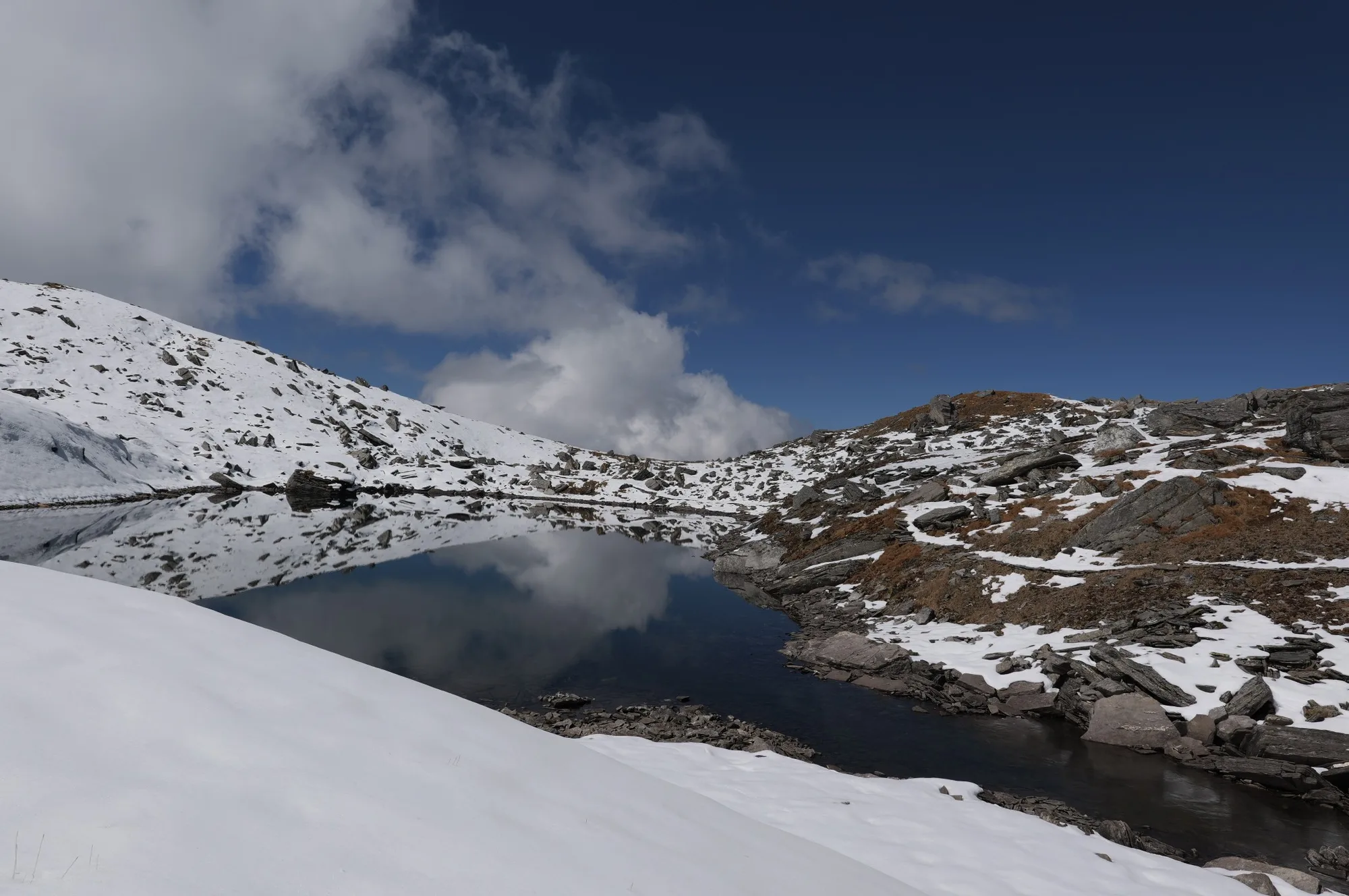
The summit day. Start before dawn. The climb is brutally steep, navigating over massive boulders and shifting scree slopes. The final ridge reveals the Saptkund lakes—seven crystal-clear glacial pools sitting directly beneath the imposing ice walls of Nanda Ghunti. After spending time at the sacred lakes, carefully descend back to Jittukudi.
Key Landmarks
Staying At
Crossing the high-altitude pass bridges two distinct watershed systems, shifting the expedition over the glaciated divide and down into a new river basin.
Field Notes
KEY ACTIONHelmet Mandatory
Helmet mandatory. Move quickly and quietly through the rockfall zone without stopping to rest.
Stow Poles
Requires hands-on rock scrambling. Stow trekking poles to free up your hands.
INFOSlower Progress
Progress will be significantly slower and more taxing on your ankles than trail distance suggests.
Camp Alt
6,000 ft
Day Gain
-8,000 ft
Trek to Jhinji
A massive, knee-punishing descent. You will lose 8,000 feet of altitude in a single day, retracing your steps through the meadows and plunging back down through the dense oak forests to reach the roadhead village of Jhinji.
Key Landmarks
Staying At
The route moves through forested zones. The environment transitions into open alpine meadows.
Camp Alt
1,100 ft
Day Gain
-4,900 ft
Drive to Rishikesh
Board your vehicles early in the morning for the long drive back down the winding mountain roads of Garhwal to Rishikesh, officially ending the expedition.
Key Landmarks
The mountain valley topography transitions back into the lower foothill river plains.
Trek Extensions & Add-ons
Roopkund Crossover (Conceptual)
+4 DaysWhile highly technical and rarely done, elite alpine teams sometimes link the Saptkund ridges across to the Roopkund/Homkund valleys.
Plan Your Trek:
Ready to book? Compare verified operators for Saptkund Trek — transparent pricing, no paid rankings.
Still deciding?
Compare routes side-by-side to find the perfect match for your fitness, dates, and budget.
Day by day, camp by camp. Send this to your group so everyone's on the same page.
Step 4: Cost & Logistics
You understand the route.
Now see what services, permits, and logistics actually cost.
View Cost Breakdown