
Explore
Intelligence
Difficulty & Readiness Guide
Is Rangdum Kanji Trail Trek Difficult? — Fitness & Altitude Guide
Challenging. A serious trans-Zanskar expedition requiring trekkers to cross a 17,240 ft glaciated pass and navigate deep, freezing river crossings in narrow gorges.
The Question
Can I do this trek?
Preparation Required
Advanced
Prior Experience
Required: At least 2-3 moderate Himalayan treks (above 13,000ft).
Expert Verdict
Highly technical trek requiring physical and mental preparation.
Rangdum Kanji Trail Trek
Himalayan Placement · Index 53Route Knowledge
Why is it difficult?
Exertion Index
Primary Challenge
Route Identity
Demanding glaciated pass crossing requiring sustained altitude endurance.
Primary Drivers
- Maximum sleeping altitude of 15,100 ft
- Grueling summit push with 2,740 ft of elevation gain
- 3 consecutive high-output trekking days
- Peak daily distance of 15 km
View Full Route Analysis
Physiological Demand
Expect long, exhausting days of sustained climbing at high intensity. Your cardiovascular system will be pushed to its absolute limit.
Significant time spent above 12,000ft. Expect shortness of breath and slower pacing.
Comfortable pacing with good recovery options.
Rolling or gradual terrain with minimal harsh impact on joints.
Well-defined, stable trails with no technical maneuvers required.
Terrain Breakdown
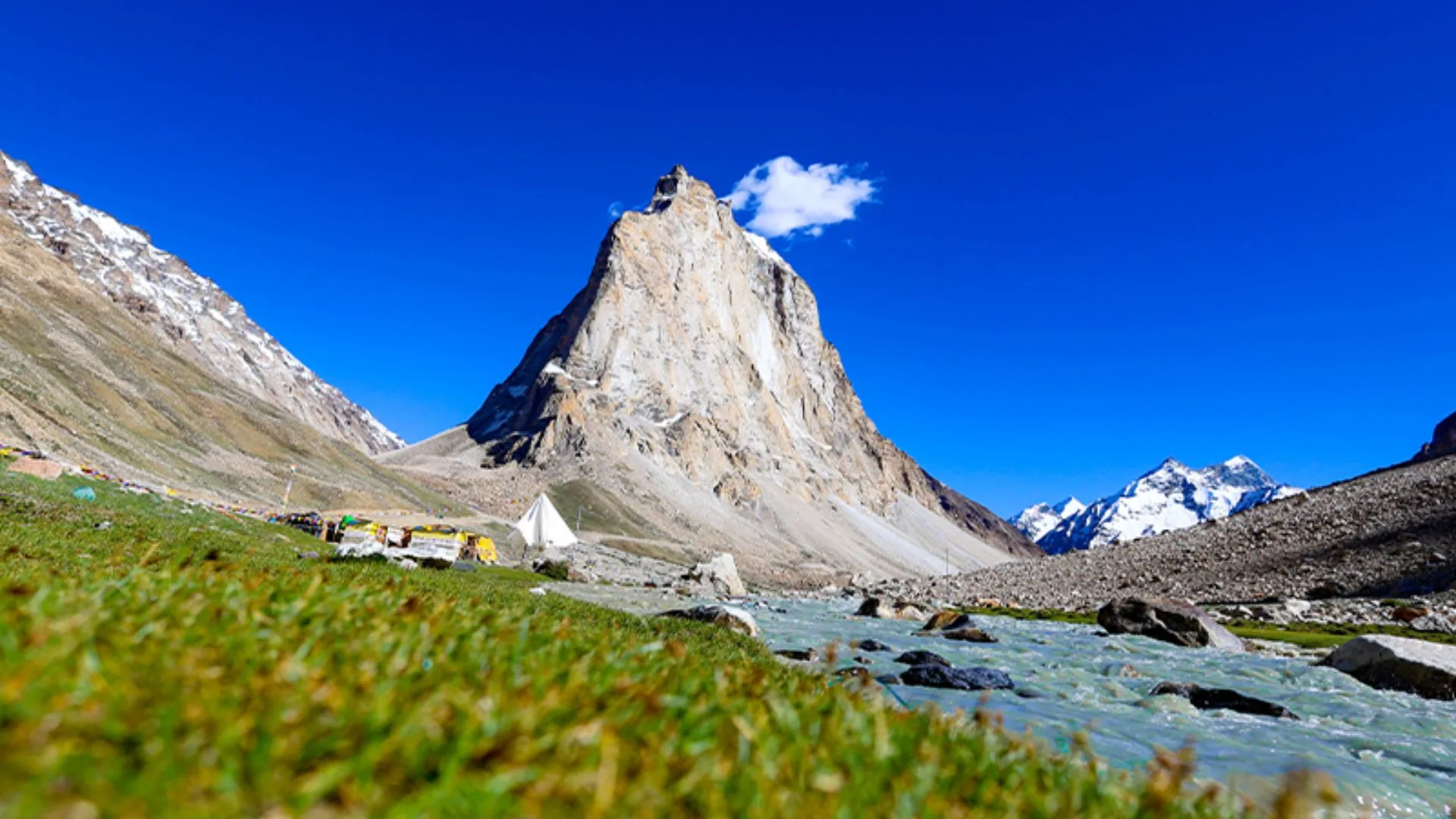
The terrain is incredibly varied: from the marshy plains of Rangdum to glacial ice on Kanji La, and deep, twisting river gorges filled with multi-colored sedimentary rocks.
Summit Day Notes
Crossing Kanji La (17,240 ft) requires extreme cardiovascular exertion. The final 300 meters involve navigating a glacier and steep scree where footing is loose and dangerous.
The Descent
The descent from the pass is punishing. More critically, the descent through the Kanji gorge involves numerous river crossings; the water is glacial runoff, freezing cold, and can be dangerously fast.
Altitude Profile
The jump from 11,998 ft at Rangdum to sleeping at 14,500 ft the next night is aggressive. Monitoring for AMS is absolutely critical on Night 2.
Run AMS Risk Audit →Trail Performance Data
Max Gradient
40%
Hydration
1.2L per km recommended
Loose Surface Sections
- •Ascent and descent of Kanji La
- •Moraine fields in upper Kanji gorge
Personal Readiness
Am I ready?
What this route demands
People who feel comfortable on this route can usually:
Who Can Do This Trek?
Min Age
16+
Max Age
55
Western Toilets at Base
Yes
Solo Female Travelers
Guided trekking groups are highly safe. The extreme isolation necessitates group travel.
Hazard Profile
What goes wrong?
Common Mistakes on Rangdum Kanji Trail Trek
Most injuries and failures on this trail can be avoided by making smarter decisions early on.
Not bringing neoprene socks or dedicated sandals for the river crossings.
Attempting the gorge river crossings late in the afternoon when glacial melt is at its absolute peak.
Failing to acclimatize properly before arriving in Rangdum.
Safety & Medical Risks
Key Risks
High Altitude Pulmonary/Cerebral Edema (HAPE/HACE)
Drowning/Swept away in river crossings
Hypothermia from wet clothing
Rockfall in narrow gorge sections
AMS (Altitude Sickness)
Sleeping at 15,100 ft (Lartsa) carries high risk. Any severe AMS symptoms at South Base MUST result in an immediate descent back to Rangdum; do not attempt to cross the pass.
Evacuation Route
Evacuation is highly complex. If on the Rangdum side, manual/pony carry back to the Suru valley road. If on the Kanji side, carry down through the gorge to Kanji village for vehicle pickup.
Solo Trekking
Strictly prohibited. The unbridged river crossings and glaciated pass make solo travel in this remote region extremely dangerous.
Common Trail Ailments
🏥 Nearest ICU: Leh SNM Hospital or Kargil District Hospital
Tactical Emergency Hub
> Evacuation relies entirely on pack ponies carrying a victim down to the nearest roadhead at Rangdum or Kanji. Helicopter evac is highly weather-dependent and requires military clearance.
Auditability
How is this calculated?
Understand This Route Further
Before attempting this route:
Still deciding?
Compare routes side-by-side to find the perfect match for your fitness, dates, and budget.
Still think it's doable? Share this with your trek mate and see if they agree.
Step 2: Seasonal Safety
You know how demanding this route is.
Now find the safest and most reliable season to attempt it.
Check Best Time to Go