Explore
Intelligence
Detailed Route
Nag Tibba Trek Itinerary — Day by Day Route & Camps
A 2-day immersive expedition traversing diverse Himalayan landscapes and alpine altitudes.
Standard RouteThis is the standard mountain pacing for this trek. Specific operators may add an acclimatization day or alter the starting point. Check individual operator schedules for their exact logistics.
Duration
2 Days
Total Distance
16 KM
Max Altitude
10,000 FT
Trek Type
circuit
Day by Day Breakdown
Camp Alt
8,500 ft
Day Gain
+6,400 ft
Drive to Pantwari & Trek to Nag Tibba Base Camp
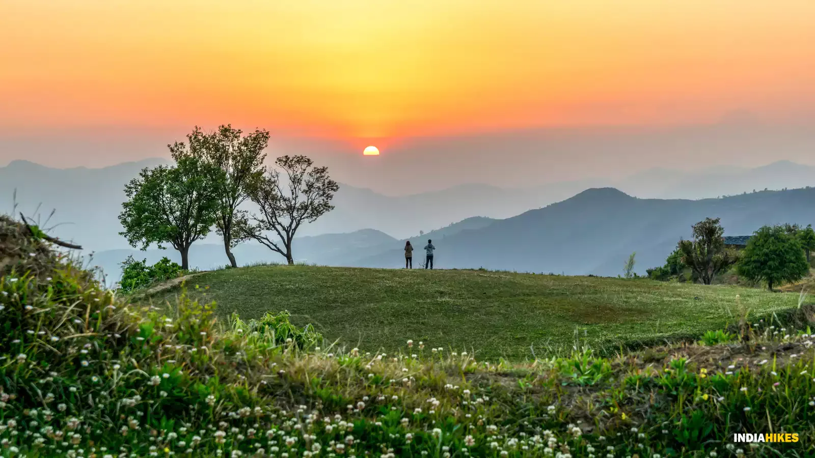
Pick up from Dehradun Rly Station at 7:00 AM. 4-hour drive to Pantwari (90km). Trek starts with a steady uphill on a stone-paved trail. You pass through oak and rhododendron forests. The campsite at Kathian offers sunset views of the Himalayan range. Night stay in tents.
Key Landmarks
Staying At
The vehicle route ends, transitioning into a forested trail ascent toward the Nag Tibba ridge.
Camp Alt
2,100 ft
Day Gain
-6,400 ft
Today's Objective
🏔 Summit Nag Tibba
Early morning start (5 AM) for the summit. The trail reaches the Nag Devta temple before the final ridge ascent. 360-degree views of Bandarpoonch, Swargarohini, and Gangotri peaks. Descend back to Pantwari by 4 PM. 4-hour drive back to Dehradun. Reach by 9 PM.
Key Landmarks
The Nag Tibba summit ridge loses altitude quickly back through the forest to the Pantwari roadhead.
Trek Extensions & Add-ons
Mussoorie Side Descent
+1 DayDescend via the Bhatwari route for a complete traverse ending near Mussoorie city.
Plan Your Trek:
Ready to book? Compare verified operators for Nag Tibba Trek — transparent pricing, no paid rankings.
Still deciding?
Compare routes side-by-side to find the perfect match for your fitness, dates, and budget.
Day by day, camp by camp. Send this to your group so everyone's on the same page.
Step 4: Cost & Logistics
You understand the route.
Now see what services, permits, and logistics actually cost.
View Cost Breakdown