
Explore
Intelligence
Season & Weather Guide
Best Time for Monal Top Trek — Month-by-Month Guide
Highly recommended as a winter trek (Dec-March) for pristine snowscapes, or spring (April) for the stunning rhododendron blooms.
Seasonal Verdict
When should you go?
Monal Top is a superb winter trek for deep snow (Jan-March) and an exceptional spring trek for vibrant rhododendron blooms (April).
Season at a Glance
Editor's Notes
Month by Month
What each month looks like
January
Conditions
Peak winter. Heavy snow accumulation, frozen streams, and sub-zero temperatures. Perfect for snow trekking.
Crowds
none
Deep snow accumulation, extreme cold, or closed trail conditions
Peak winter trekking. High-quality down jackets and 4-season sleeping bags are mandatory.
February
Peak SeasonConditions
Excellent winter conditions. Deep snow on the trail to the summit with clear skies.
Crowds
medium
Deep, stable snow on the trail. Excellent time for winter summit attempts.
March
Peak SeasonConditions
Spring transition. Snow begins to melt in the lower forests but remains solid at Kukina Khal and the summit.
Crowds
medium
Spring transition. Snow remains at Kukina Khal and the summit, but lower forests begin to thaw.
April
Peak SeasonConditions
Spring bloom. The trail is ablaze with red and pink rhododendrons. Very little snow remaining.
Crowds
medium
Rhododendron bloom begins. Beautiful, comfortable trekking weather.
May
Peak SeasonConditions
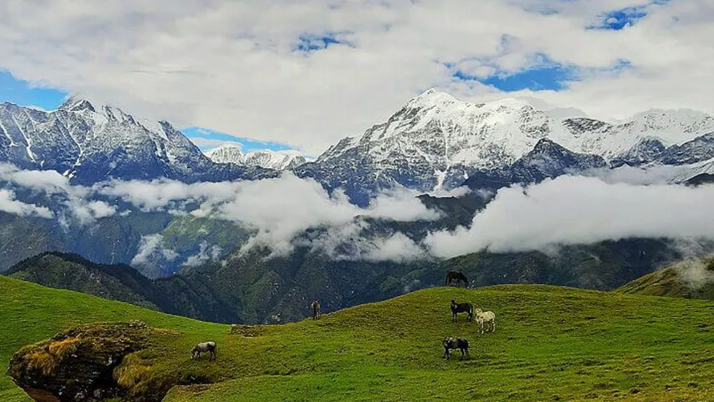
Warm and pleasant. Clear views of Mt. Trishul. No snow gear required. Meadows turn green.
Crowds
medium
Warmest month. Very clear skies, lush green meadows. Easiest trekking conditions.
June
Peak SeasonConditions
Pre-monsoon. Warmest temperatures, though afternoons can bring hazy skies or light rain.
Crowds
medium
Pre-monsoon haze can occasionally obscure distant peaks. Pleasant temperatures.
July
Conditions
Monsoon begins. Trail becomes muddy and slippery. High chance of leeches in the forest.
Crowds
low
Monsoon rains and trail surface degradation
Monsoon begins. Trail gets muddy and slippery. Expect leeches in the forest.
August
Conditions
Peak monsoon. Heavy rainfall, zero visibility at the summit, and risk of landslides on the drive to Lohajung.
Crowds
none
Monsoon precipitation and landslide / slippery trail hazards
Peak monsoon. Heavy rains and landslide risks on the roads to Lohajung. Not recommended.
September
Peak SeasonConditions
Post-monsoon freshness. Clear skies, washed landscapes, and lush green meadows.
Crowds
medium
Post-monsoon clarity. The forests and meadows are intensely green. Great photography window.
October
Peak SeasonConditions
Crisp autumn air. Exceptional visibility of the high peaks. Temperatures begin to drop significantly at night.
Crowds
high
Crisp autumn air. Unmatched visibility of Mt. Trishul. Cold nights.
November
Peak SeasonConditions
Pre-winter cold. Dry landscapes and freezing nights. First snowfall possible late in the month.
Crowds
medium
Pre-winter dry cold. The landscape turns golden brown. First snowfalls possible.
December
Peak SeasonConditions
Start of the winter season. Snow transforms the landscape. Very cold.
Crowds
medium
Winter begins. Trail accumulates fresh snow. Extremely cold at high camps.
Plan Your Trek:
Still deciding?
Compare routes side-by-side to find the perfect match for your fitness, dates, and budget.
Timing makes or breaks a trek. Send this to your group before you decide.
Step 3: Route Intelligence
You've chosen a season.
Now see exactly how the route unfolds day by day, including terrain types and daily altitude profiles.
Explore the Itinerary