
Explore
Intelligence
Detailed Route
Mantalai Lake Trek Itinerary — Day by Day Route & Camps
An epic 8-day journey that leaves the tourist crowds of Kheerganga behind to plunge deep into the raw, isolated, and sacred source of the Parvati River.
Standard RouteThis is the standard mountain pacing for this trek. Specific operators may add an acclimatization day or alter the starting point. Check individual operator schedules for their exact logistics.
Duration
8 Days
Total Distance
88.0 KM
Max Altitude
13,500 FT
Trek Type
circuit
Permits Required Before You Go
Permit Cost
Where to Get
Kasol/Bhuntar Forest Office
Documents
Original Aadhar/Passport, Medical Fitness Certificate
Foreign Nationals
Foreigners require standard forest clearance. Parvati Valley has police checkpoints; always carry original passports and valid visas.
Foreigner Process
Parvati valley is highly frequented by foreigners. Standard passport registration at Kasol checkposts is required.
Nearest Embassy Hub
New Delhi
Day by Day Breakdown
Camp Alt
9,700 ft
Day Gain
+4,520 ft
Kasol to Barshaini and trek to Kheerganga
A drive from Kasol to the road-head at Barshaini. The trek begins with a steady ascent through pine forests, passing small villages and massive waterfalls, culminating at the famous hot springs of Kheerganga.
Key Landmarks
Staying At
The route moves through forested zones. The path breaches the mountain barrier crossing the watershed.
Camp Alt
10,800 ft
Day Gain
+1,100 ft
Kheerganga to Tunda Bhuj
You leave the crowds of Kheerganga behind. The trail narrows significantly, traversing steep ridges with sheer drops down to the Parvati River, before opening up into the vast meadows of Tunda Bhuj.
Key Landmarks
Staying At
The environment transitions into open alpine meadows. The route ascends to an exposed ridge line. The route follows the river valley.
Camp Alt
11,700 ft
Day Gain
+900 ft
Tunda Bhuj to Thakur Kuan
The valley widens further. The trek involves crossing multiple glacial streams via makeshift log bridges. The terrain undulates through massive boulders and high-altitude pastures.
Key Landmarks
Staying At
The route ascends to an exposed ridge line. The route follows the river valley.
Field Notes
Use Trekking Poles
Trekking poles are highly recommended to save your knees on the descent.
INFOSlower Progress
Progress will be significantly slower and more taxing on your ankles than trail distance suggests.
Camp Alt
12,500 ft
Day Gain
+800 ft
Thakur Kuan to Odi Thach
A thrilling day. You will cross the Parvati River twice using the infamous Pandu Pul—massive natural boulders wedged over the roaring river. Once across, you enter the surreal, flat meadow of Odi Thach.
Key Landmarks
Staying At
The environment transitions into open alpine meadows. The route follows the river valley.
Field Notes
KEY ACTIONHigh Exposure
High-consequence exposure zones ahead. Requires confident rock scrambling and strict three-point contact.
KEY ACTIONHelmet Mandatory
Helmet mandatory. Move quickly and quietly through the rockfall zone without stopping to rest.
INFOSlower Progress
Progress will be significantly slower and more taxing on your ankles than trail distance suggests.
Camp Alt
13,500 ft
Day Gain
+1,000 ft
Today's Objective
🏔 Cross Odi Thach To Mantalai Lake Mantalai Lake
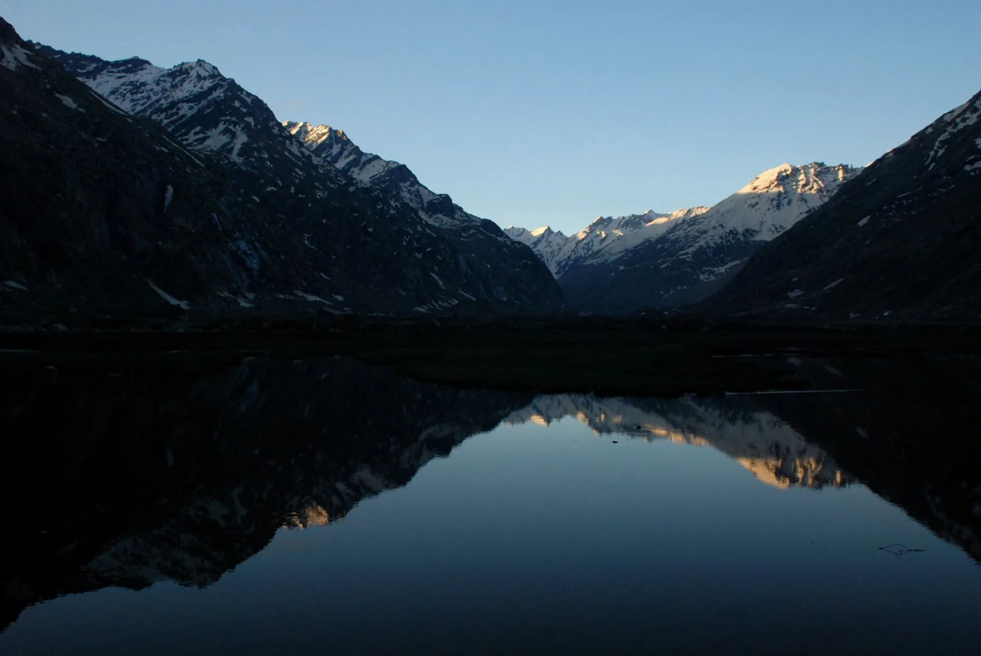
The landscape turns completely barren and lunar. A long, exhausting walk through loose glacial moraine and scree leads to the sprawling Mantalai Lake, the source of the Parvati River, marked by a Shiva Trishul.
Key Landmarks
Staying At
Crossing the high-altitude pass bridges two distinct watershed systems, shifting the expedition over the glaciated divide and down into a new river basin.
Field Notes
Use Trekking Poles
Trekking poles are highly recommended to save your knees on the descent.
INFOSlower Progress
Progress will be significantly slower and more taxing on your ankles than trail distance suggests.
Camp Alt
11,700 ft
Day Gain
-1,800 ft
Mantalai Lake to Thakur Kuan
The return journey begins. A massive 21 km descent, retracing the route past Odi Thach, scrambling back over Pandu Pul, and settling at Thakur Kuan.
Key Landmarks
Staying At
Crossing the high-altitude pass bridges two distinct watershed systems, shifting the expedition over the glaciated divide and down into a new river basin.
Field Notes
KEY ACTIONHigh Exposure
High-consequence exposure zones ahead. Requires confident rock scrambling and strict three-point contact.
INFOSlower Progress
Progress will be significantly slower and more taxing on your ankles than trail distance suggests.
Camp Alt
9,700 ft
Day Gain
-2,000 ft
Thakur Kuan to Kheerganga
Another grueling descent day. Navigate the narrow, landslide-prone sections past Tunda Bhuj to finally return to the tree line and the hot springs of Kheerganga.
Key Landmarks
Staying At
The trail follows the mountain river corridor through a narrow, forested gorge, moving past traditional settlements into increasingly dense dense forested valleys.
Camp Alt
5,180 ft
Day Gain
-4,520 ft
Kheerganga to Barshaini and drive to Kasol
A straightforward morning descent from Kheerganga to Barshaini, followed by the drive back to Kasol, marking the end of the expedition.
Key Landmarks
The trail follows the mountain river corridor through a narrow, forested gorge, moving past traditional settlements into increasingly dense dense forested valleys.
Trek Extensions & Add-ons
Pin Parvati Pass Expedition
+4 DaysFor elite mountaineers, continue past Mantalai, cross the heavily crevassed 17,500 ft pass, and descend into the barren deserts of Spiti Valley.
Plan Your Trek:
Ready to book? Compare verified operators for Mantalai Lake Trek — transparent pricing, no paid rankings.
Still deciding?
Compare routes side-by-side to find the perfect match for your fitness, dates, and budget.
Day by day, camp by camp. Send this to your group so everyone's on the same page.
Step 4: Cost & Logistics
You understand the route.
Now see what services, permits, and logistics actually cost.
View Cost Breakdown