
Explore
Intelligence
Essential Planning Guide
Mantalai Lake Trek — Complete Guide (2026)
Vibe & Scenery
The Experience
Introduction
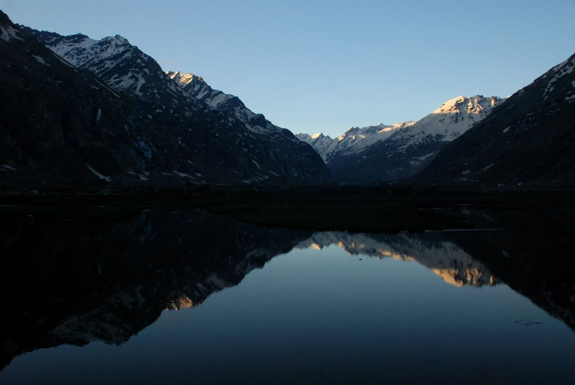
Mantalai Lake lies deep within the upper Parvati Valley beneath a ring of 6,000-metre peaks and glaciers. Revered in local tradition as the source of the Parvati River, it also serves as the approach for expeditions attempting the famous Pin Parvati Pass.
As a standalone trek, the journey passes through dense conifer forests, waterfalls, natural rock bridges including Pandu Pul, and expansive alpine meadows before reaching the broad glacial basin surrounding the lake.
Strong fitness, river-crossing experience, and comfort with long mountain days are essential, making Mantalai Lake one of Himachal Pradesh's finest non-technical high-altitude expeditions.
Quick Facts
Duration
Max Altitude
Difficulty
Best Time
Trek Distance
Trail Atmosphere
Stargazing
Class 1 Dark Sky
Scent Profile
Silence Level
~15 dB
Vertigo Factor
7 / 10
Iconic Spots
Pandu Pul
Odi Thach
Mantalai Lake
Environment
Nature & Culture
Flora & Fauna
Flora
Fauna
Mantalai Lake is deeply sacred. It is believed to be the place where Lord Shiva and Goddess Parvati meditated for thousands of years. A trident (Trishul) marks the lake.
— Local folklore
Spiritual & Cultural Significance
The entire Parvati Valley is sacred to Shiva. Mantalai Lake is a significant pilgrimage site for devout sadhus.
🕐 Shrine Timings: N/A
Temple Protocols
- •No alcohol or meat should be consumed at the sacred Mantalai Lake.
Festivals & Dates
Technical Details
Challenge & Preparation
Primarily a cardio demand and cumulative fatigue challenge
A demanding expedition dominated by extreme cardio demand.
Personal Readiness
Am I ready?
Planning
Logistics & Trail Intel
Getting There
Route to Base
Take an overnight Volvo from Delhi/Chandigarh to Bhuntar
From Bhuntar, take a local bus or taxi to Kasol, then another taxi to the road-head at Barshaini
Base Village
Barshaini
7,180 ft
Last ATM
Kasol
Nearest Medical Facility
Basic dispensary in Kasol; major hospital in Kullu.
Mobile Signal
Total blackout past Kheerganga.
Water Sources
Abundant streams and waterfalls throughout. Water must be filled at camps. Near Mantalai, water is highly silted; purification tablets or filters are mandatory.
Charging
None after Kheerganga.
For Drivers
Road Condition
Delhi to Bhuntar is smooth. Bhuntar to Kasol/Barshaini is a narrow, heavily congested mountain road prone to monsoon washouts.
Kasol
Trail Culinary & Diet
Don't miss the Siddu (Steamed bread) available in Kasol
Buy specialized diet items at Kasol
The Content & Remote Hub
Top Vlog Spots
Video Calls
low
Est. 5 Mbps
UPI Reliability
7/10
Base WiFi Available
Permits and Regulations
Trekking beyond Kheerganga requires a permit from the Forest Department in Kasol/Bhuntar. Operators handle this. All plastic must be counted at check-posts and brought back.
Learn more about how we vet operators and ensure transparency on our why MountRoutes page.
Packing List
Core Clothing Layers
- Thermal base layers (top and bottom, x2)
- Heavyweight fleece jacket for mid-layer insulation
- Expedition-grade Down jacket (rated to -5°C)
- High-quality Gore-Tex waterproof hard-shell jacket
- Quick-dry trekking pants (x2)
- Waterproof over-pants for heavy monsoon rain
Footwear & Protection
- Sturdy, high-ankle waterproof trekking boots (Vibram sole)
- Merino wool trekking socks (x4 pairs)
- Waterproof gaiters for mud and stream crossings
- Camp sandals (essential for resting feet at camps)
- Spare boot laces
Head & Hands
- Fleece beanie and a neck gaiter
- Sun hat with a wide brim
- UV-protection sunglasses (Category 3 or 4)
- Lightweight fleece inner gloves
- Heavy waterproof insulated outer gloves
Gear & Accessories
- 60 litre expedition backpack with a heavy-duty rain cover
- Pair of sturdy trekking poles with mud baskets
- Headlamp with spare lithium batteries
- Hydration bladder (2L) and a 1L thermos flask
- Comprehensive personal medical kit (Diamox, altitude meds, crepe bandages)
- High-calorie trail snacks and energy bars
Deep Dives
Explore Further
Editor's Notes
Explore In Detail
Day by Day Itinerary
8-day route reaching 13,500ft. Covers 88.0km of varied terrain.
→ See full itinerary with altitude profileDifficulty & Fitness
Rated challenging. The trail is a masterclass in varied terrain. It starts as a muddy forest path, transitions to exposed, landslide-prone ridges, moves into massive boulder fields at Pandu Pul, and ends in unstable glacial scree at Mantalai.
→ See difficulty breakdown and fitness guideCost & Pricing
Packages range from 15,000 - 20,000 INR. Inclusions and hidden costs vary by operator tier.
→ See full cost breakdownFrequently Asked Questions
Is the Mantalai Lake trek suitable for beginners?
Absolutely not. This is graded as a Hard trek. It spans over 85 km, involves crossing treacherous natural rock bridges (Pandu Pul), navigating steep, landslide-prone sections, and camping at high altitudes. Prior Himalayan trekking experience is mandatory.
How is this different from the Pin Parvati Pass trek?
The Pin Parvati Pass expedition continues past Mantalai Lake, ascending an ice wall and crossing a heavily crevassed glacier into Spiti. By stopping at Mantalai and returning, you avoid technical mountaineering gear (ropes, crampons, ice axes) while still experiencing the ultimate wilderness of the valley.
What is the famous Pandu Pul?
Pandu Pul consists of two massive natural rock boulders wedged over the roaring Parvati River. Trekkers must scramble over these boulders to cross the river. It is a thrilling but hazardous section that requires balance and caution.
What are the main hazards on this trek?
The primary hazards are Acute Mountain Sickness (AMS) at Mantalai, swollen glacial stream crossings, sheer drops on narrow trails between Kheerganga and Tunda Bhuj, and highly unpredictable weather.
Is there mobile connectivity on the trail?
You will get network coverage in Kasol and Barshaini. Once you reach Kheerganga, you will lose all network connectivity for the next 6 days until you return.
What is the best time to do this trek?
The best window is from mid-June to September. While the monsoon brings heavy rain to Kheerganga, the upper reaches (Odi Thach, Mantalai) remain incredibly lush and relatively clear. September offers the sharpest mountain views.
Where is the nearest medical help?
The nearest basic medical dispensary is in Kasol. For serious emergencies like HAPE or severe trauma, evacuation must be done to the major district hospital in Kullu. Evacuation from Mantalai takes days on foot.
Can I do this trek solo?
No. The extreme isolation, lack of marked trails beyond Tunda Bhuj, and dangerous river crossings make solo trekking lethal. You must trek with a certified expedition operator.
Still deciding?
Compare routes side-by-side to find the perfect match for your fitness, dates, and budget.
Everything you need to know, in one place. Someone else in your group needs to see this.
Planning Mantalai Lake Trek?
Get route conditions, operator updates, and season windows before booking.
Don't miss out! Follow us for route updates@mountroutes|LinkedIn
No spam. Only useful trek updates.
Ready to walk this route?
You’ve read the guide, now find the perfect local team to take you there. Compare our verified list of operators.
Compare verified operators