
Explore
Intelligence
Detailed Route
Lambri Top Trek Itinerary — Day by Day Route & Camps
A 2-day immersive expedition traversing diverse Himalayan landscapes and alpine altitudes.
Standard RouteThis is the standard mountain pacing for this trek. Specific operators may add an acclimatization day or alter the starting point. Check individual operator schedules for their exact logistics.
Duration
2 Days
Total Distance
14 KM
Max Altitude
11,600 FT
Trek Type
linear
Day by Day Breakdown
Camp Alt
11,600 ft
Day Gain
+2,800 ft
Today's Objective
🏔 Summit Lambri Top
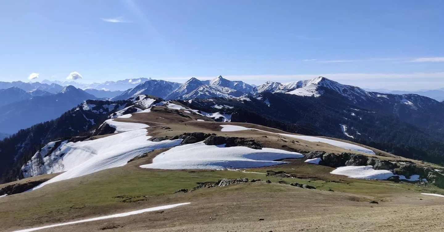
Trek from Shoja through pleasant forest, then open meadow, to the Lambri ridge. Afternoon and evening on the ridge with panoramic views. Sunset over the Kullu valley is spectacular. Camp on the small sheltered meadow below the ridge crest.
Key Landmarks
Staying At
The valley settlement leads into a forested ascent onto the Lambri ridge.
Camp Alt
8,800 ft
Day Gain
-2,800 ft
Sunrise at Lambri Top & Descend to Shoja
The 6am-8am ridge session is the highlight — the Deo Tibba and GHNP peaks glow in the early light while the Tirthan valley below is still in shadow. Return to Shoja by midday.
Key Landmarks
Crossing the high-altitude pass bridges two distinct watershed systems, shifting the expedition over the glaciated divide and down into a new river basin.
Trek Extensions & Add-ons
Serolsar Lake Day Extension
+1 DayAfter returning to Shoja from Lambri Top, drive to Jalori Pass and day-hike to Serolsar Lake (10,800 ft) for a complete 3-day Shoja-area experience.
Plan Your Trek:
Ready to book? Compare verified operators for Lambri Top Trek — transparent pricing, no paid rankings.
Still deciding?
Compare routes side-by-side to find the perfect match for your fitness, dates, and budget.
Day by day, camp by camp. Send this to your group so everyone's on the same page.
Step 4: Cost & Logistics
You understand the route.
Now see what services, permits, and logistics actually cost.
View Cost Breakdown