
Explore
Intelligence
Difficulty & Readiness Guide
Is Kyarkoti Trek Difficult? — Fitness & Altitude Guide
Moderate fitness required.
The Question
Can I do this trek?
Preparation Required
Entry Level
Prior Experience
None required. Suitable for first-time trekkers.
Expert Verdict
Highly technical trek requiring physical and mental preparation.
Route Knowledge
Why is it difficult?
Exertion Index
Primary Challenge
Route Identity
Fast-paced or high-mileage route demanding excellent cardiovascular fitness across a trek featuring loose moraine.
Primary Drivers
- Maximum sleeping altitude of 11,200 ft
- Grueling summit push with 3,400 ft of elevation gain
View Full Route Analysis
Physiological Demand
Challenging daily distances and steady climbs. Good cardiovascular fitness is required.
Notable elevation gains and losses requiring good leg strength and joint resilience.
Below the major effects of altitude sickness. Air remains relatively dense.
Comfortable pacing with good recovery options.
Terrain Breakdown
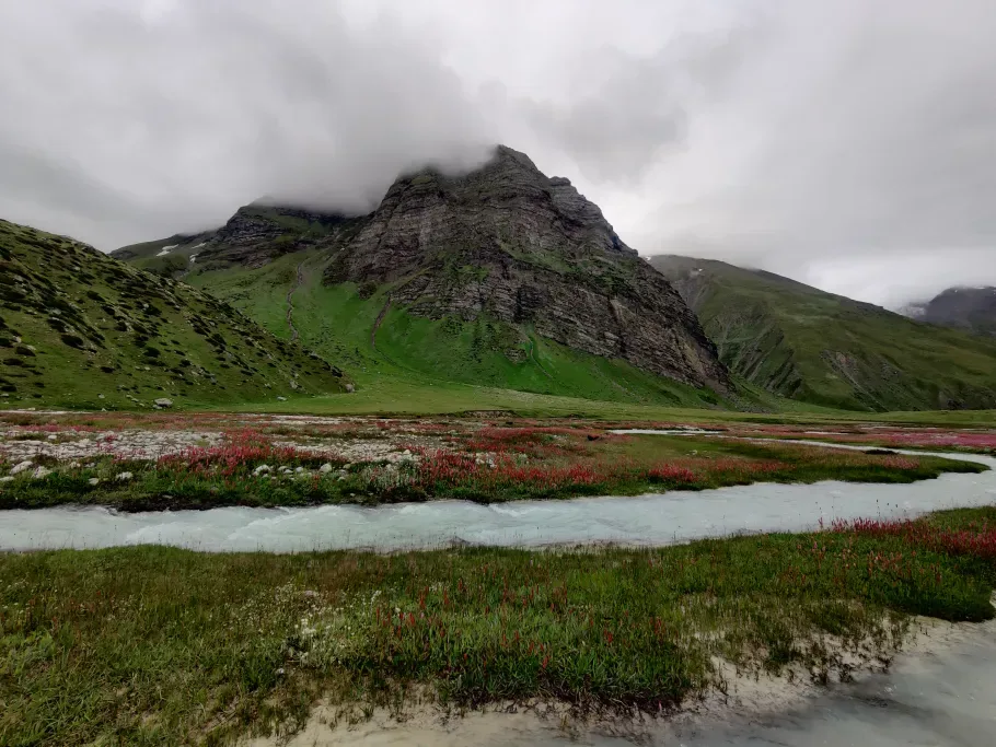
Beautiful forest trails, river crossings over the Jalandhari Gad, and high alpine meadows.
Summit Day Notes
No major pass crossing. The trek to Kyarkoti lake is a steady hike through a spectacular, expanding valley.
The Descent
Generally gentle descent back to Harshil.
Trail Performance Data
Max Gradient
30%
Hydration
0.4L per km recommended
Loose Surface Sections
- •Rocky pass scree zones
- •Forest slippery switchbacks
Personal Readiness
Am I ready?
What this route demands
People who feel comfortable on this route can usually:
Who Can Do This Trek?
Min Age
12+
Max Age
60
Western Toilets at Base
Yes
Solo Female Travelers
Harsil is a military area. Very safe. Guide recommended on trail.
Hazard Profile
What goes wrong?
Common Mistakes on Kyarkoti Trek
Most injuries and failures on this trail can be avoided by making smarter decisions early on.
Not preparing adequately for the harsh wind funnel effect in the Harsil valley.
Ignoring the strict inner line permit requirements for this border region.
Safety & Medical Risks
Key Risks
Altitude gain from high base (7,800 ft to 11,200 ft)
Sudden thunderstorms on exposed meadow
AMS (Altitude Sickness)
Mild risk. Gradual acclimatization from Harsil helps.
Evacuation Route
Return to Harsil road (3-4 hrs).
Solo Trekking
Trail is reasonably marked. Basic guide recommended for first-timers.
Common Trail Ailments
🏥 Nearest ICU: Max Super Speciality Hospital, Dehradun / AIIMS Rishikesh
Tactical Emergency Hub
> Evacuation by mules to Harshil.
Auditability
How is this calculated?
Understand This Route Further
Before attempting this route:
Still deciding?
Compare routes side-by-side to find the perfect match for your fitness, dates, and budget.
Still think it's doable? Share this with your trek mate and see if they agree.
Step 2: Seasonal Safety
You know how demanding this route is.
Now find the safest and most reliable season to attempt it.
Check Best Time to Go