Detailed Route
Jalori Pass & Serolsar Lake Trek Itinerary — Day by Day Route & Camps
Standard RouteThis is the standard mountain pacing for this trek. Specific operators may add an acclimatization day or alter the starting point. Check individual operator schedules for their exact logistics.
Duration
1 Days
Total Distance
10 KM
Max Altitude
10,280 FT
Trek Type
linear
Day by Day Breakdown
Drive Shoja to Jalori Pass, Trek to Serolsar Lake and Return
Drive the notoriously steep road from Shoja to Jalori. Park at the pass. Walk the 5km flat forested ridge to the lake. Have tea at the small local dhabas near the lake edge, then walk back.
Key Landmarks
Staying At
Trek Extensions & Add-ons
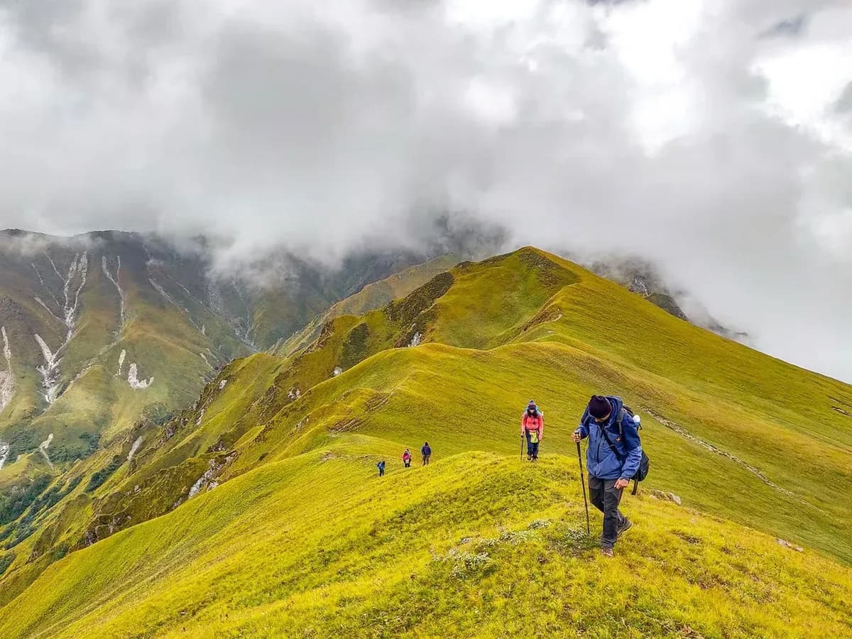
Raghupur Fort Hike
+1 DayWalk the opposite side of Jalori Pass up a steep meadow to the ruins of Raghupur Fort for sunset.
Also on this trek
Ready to book? Compare verified operators for Jalori Pass & Serolsar Lake Trek — transparent pricing, no paid rankings.
Still deciding?
Compare routes side-by-side to find the perfect match for your fitness, dates, and budget.
Day by day, camp by camp. Send this to your group so everyone's on the same page.
Love this itinerary?
Find operators who follow this exact route with verified acclimatization days.
Find matching operators