
Explore
Intelligence
Detailed Route
Gunas Pass Trek Itinerary — Day by Day Route & Camps
A 5-day demanding expedition crossing the high-altitude Gunas Pass.
Standard RouteThis is the standard mountain pacing for this trek. Specific operators may add an acclimatization day or alter the starting point. Check individual operator schedules for their exact logistics.
Duration
5 Days
Total Distance
56 KM
Max Altitude
15,800 FT
Trek Type
circuit
Day by Day Breakdown
Camp Alt
9,200 ft
Day Gain
+2,000 ft
Drive to Janglik
A long drive through the scenic Pabbar Valley via Rohru and Chirgaon to the heritage village of Janglik.
Staying At
The mountain road navigates upward through the Pabbar Valley, transitioning into a forested settlement.
Camp Alt
11,150 ft
Day Gain
+1,950 ft
Reach Dayara Thach
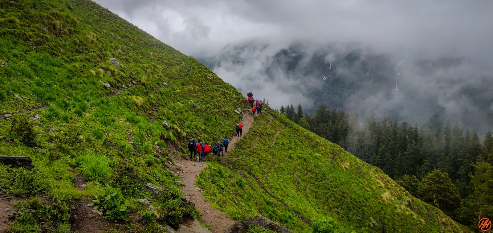
Trek through beautiful pine and oak forests, emerging into the stunning, expansive meadows of Dayara Thach.
Staying At
Tree line disappears as the valley broadens into a spectacular high-altitude alpine meadow basin, replacing the dense forests with expansive grazing pastures.
Camp Alt
11,730 ft
Day Gain
+580 ft
Reach Litham
A gradual walk through Bhojpatra forests and streams. Litham serves as the junction where trails for Chandranahan Lake, Buran Ghati, and Gunas Pass diverge.
Staying At
The route follows the upper Pabbar valley through alpine meadows and glacial stream corridors.
Field Notes
KEY ACTIONRiver Crossings
Plan to cross early in the day before snowmelt swells the water levels. Unclip backpack waist belts before crossing.
Camp Alt
13,100 ft
Day Gain
+1,370 ft
Reach Gunas Pass Base Camp
Ascend steadily from Litham toward the base of the Gunas Pass. The terrain becomes rockier and more alpine.
Staying At
Crossing the high-altitude pass bridges two distinct watershed systems, shifting the expedition over the glaciated divide and down into a new river basin.
Field Notes
Use Trekking Poles
Trekking poles are highly recommended to save your knees on the descent.
INFOSlower Progress
Progress will be significantly slower and more taxing on your ankles than trail distance suggests.
Camp Alt
8,700 ft
Day Gain
-4,400 ft
Today's Objective
🏔 Cross Dunda To Sangla Via Gunas Pass Sangla
A steep and demanding climb to cross Gunas Pass (15,800 ft). Witness spectacular views of the Kinnaur Kailash range before a long, sharp descent into the Baspa Valley at Sangla.
Staying At
The route navigates the high-altitude pass, transitioning from the Pabbar river basin over a barren ridge into the Kinnaur region.
Field Notes
Use Trekking Poles
Trekking poles are highly recommended to save your knees on the descent.
INFOSlower Progress
Progress will be significantly slower and more taxing on your ankles than trail distance suggests.
Trek Extensions & Add-ons
Janglik Cultural Day Pre-Trek
+1 Day1 day at Janglik for Bhimakali Temple, local crafts market, and forest walk before starting the trek.
Plan Your Trek:
Ready to book? Compare verified operators for Gunas Pass Trek — transparent pricing, no paid rankings.
Still deciding?
Compare routes side-by-side to find the perfect match for your fitness, dates, and budget.
Day by day, camp by camp. Send this to your group so everyone's on the same page.
Step 4: Cost & Logistics
You understand the route.
Now see what services, permits, and logistics actually cost.
View Cost Breakdown