
Explore
Intelligence
Detailed Route
Fachu Kandi Pass Trek Itinerary — Day by Day Route & Camps
An epic 8-day traverse. Ascend through the forests of Sankri, walk the exposed Phulara Ridge, camp at the glacial Saru Tal, and cross a 14,290 ft pass to descend into the Yamunotri valley.
Standard RouteThis is the standard mountain pacing for this trek. Specific operators may add an acclimatization day or alter the starting point. Check individual operator schedules for their exact logistics.
Duration
8 Days
Total Distance
45.0 KM
Max Altitude
14,290 FT
Trek Type
linear
Permits Required Before You Go
Permit Cost
Where to Get
Netwar Forest Checkpost
Documents
Original Aadhar Card / Passport
Foreign Nationals
Foreigners pay a slightly higher National Park entry fee (approx. 600 INR) but face no special restrictions.
Foreigner Process
Standard National Park registration. Keep passport copies handy.
Nearest Embassy Hub
New Delhi
Day by Day Breakdown
Camp Alt
6,400 ft
Day Gain
+4,300 ft
Drive Dehradun to Sankri
A long, beautiful drive from Dehradun, winding through the pine forests of Purola and following the Tons river into the Govind Pashu Vihar National Park. You will clear forest checkposts at Netwar before arriving at the bustling trekking hub of Sankri.
Key Landmarks
Staying At
The route moves through forested zones. The route follows the river valley.
Camp Alt
9,100 ft
Day Gain
+2,700 ft
Reach Juda Ka Talab
The trek begins on the popular Kedarkantha trail. You ascend steeply through thick, dark pine and maple forests. The trail is well-marked and heavily trafficked. You will camp near Juda Ka Talab, a small lake surrounded by towering pine trees.
Key Landmarks
Staying At
Crossing the high-altitude pass bridges two distinct watershed systems, shifting the expedition over the glaciated divide and down into a new river basin.
Camp Alt
11,150 ft
Day Gain
+2,050 ft
Reach Bhoj Gadi
Today, you break away from the Kedarkantha crowds. The trail veers off towards the Phulara ridge, ascending through ancient oak forests before finally breaking out above the tree line. Bhoj Gadi is a stunning, open meadow campsite with expansive views of the Swargarohini peaks.
Key Landmarks
Staying At
The route moves through forested zones. The environment transitions into open alpine meadows. The route ascends to an exposed ridge line.
Camp Alt
9,500 ft
Day Gain
-1,650 ft
Cross Phulara Ridge & Reach Pushtara Meadows
One of the most spectacular days of the expedition. You will walk for hours along the top of the Phulara Ridge, which offers an unobstructed, 270-degree panorama of the Garhwal Himalayas. The ridge walk is relatively flat before a steep descent into the massive, rolling green expanse of Pushtara meadows.
Key Landmarks
Staying At
The environment transitions into open alpine meadows. The route ascends to an exposed ridge line.
Camp Alt
12,500 ft
Day Gain
+3,000 ft
Reach Rateri
The serious climbing begins. You leave the comfortable meadows and begin a sustained, steep ascent towards the glacial zones. The terrain becomes rockier and the air much thinner. Rateri is a high, cold camp that positions you for the lake and pass.
Key Landmarks
Staying At
The environment transitions into open alpine meadows. The path breaches the mountain barrier crossing the watershed.
Field Notes
Use Trekking Poles
Trekking poles are highly recommended to save your knees on the descent.
INFOSlower Progress
Progress will be significantly slower and more taxing on your ankles than trail distance suggests.
Camp Alt
13,780 ft
Day Gain
+1,280 ft
Reach Saru Tal
A shorter but breathtakingly high day. You ascend over rocky moraines and snow patches to reach Saru Tal, a pristine, high-altitude glacial lake nestled in a rocky bowl. The views of the Swargarohini massif from here are unparalleled. This is your highest and coldest camp of the expedition.
Key Landmarks
Staying At
The rugged alpine terrain opens up to reveal a spectacular high-altitude glacial tarn, serving as a critical hydrological node in the upper watershed.
Field Notes
Use Trekking Poles
Trekking poles are highly recommended to save your knees on the descent.
INFOSlower Progress
Progress will be significantly slower and more taxing on your ankles than trail distance suggests.
Camp Alt
10,000 ft
Day Gain
-3,780 ft
Today's Objective
🏔 Cross Cross Fachu Kandi Pass
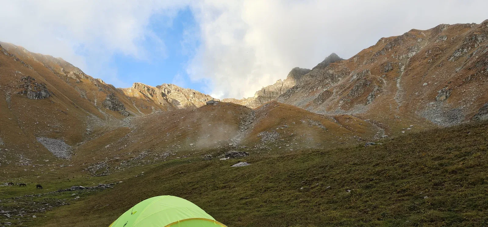
The climax of the expedition. You start before dawn, climbing steeply up a snow and rock headwall to crest the Fachu Kandi Pass at 14,290 ft. You have officially crossed from the Tons valley into the Yamuna valley. The descent on the other side is brutal—a near-vertical drop over loose scree and snow. You will plunge over 4,000 ft down into the tree line to camp at the clearing of Leka Dogri.
Key Landmarks
Staying At
Crossing the high-altitude pass bridges two distinct watershed systems, shifting the expedition over the glaciated divide and down into a new river basin.
Field Notes
Use Trekking Poles
Trekking poles are highly recommended to save your knees on the descent.
INFOSlower Progress
Progress will be significantly slower and more taxing on your ankles than trail distance suggests.
Camp Alt
7,000 ft
Day Gain
-3,000 ft
Trek to Hanuman Chatti & Drive to Dehradun
The final descent. You hike quickly down through dense forests until you suddenly hit the paved roads and bustling pilgrim activity of Hanuman Chatti, a major hub for the Yamunotri temple. From here, board your vehicles for the long 7-hour drive back to Dehradun, concluding the crossover.
Key Landmarks
The high alpine meadows narrow into forested river terraces as tree line vegetation reappears in the lower Yamuna river corridor.
Trek Extensions & Add-ons
Yamunotri Temple Visit
+1 DayUpon reaching Hanuman Chatti, take an extra day to trek up to the sacred Yamunotri temple before returning to Dehradun.
Plan Your Trek:
Ready to book? Compare verified operators for Fachu Kandi Pass Trek — transparent pricing, no paid rankings.
Still deciding?
Compare routes side-by-side to find the perfect match for your fitness, dates, and budget.
Day by day, camp by camp. Send this to your group so everyone's on the same page.
Step 4: Cost & Logistics
You understand the route.
Now see what services, permits, and logistics actually cost.
View Cost Breakdown