
Explore
Intelligence
Detailed Route
Digar La Trek Itinerary — Day by Day Route & Camps
An epic 8-day circuit starting with acclimatization in Leh, trekking over the Digar La pass into Nubra Valley, and driving back via the famous Pangong Tso lake.
Standard RouteThis is the standard mountain pacing for this trek. Specific operators may add an acclimatization day or alter the starting point. Check individual operator schedules for their exact logistics.
Duration
8 Days
Total Distance
27.0 KM
Max Altitude
17,820 FT
Trek Type
linear
Permits Required Before You Go
Permit Cost
Where to Get
DC Office in Leh (Operators usually handle this)
Documents
Aadhar Card / Passport, Passport Photos
Foreign Nationals
Foreigners must apply for the PAP through a registered travel agent in Leh in groups of 2 or more.
Foreigner Process
Protected Area Permit (PAP) must be obtained through a Leh travel agent. Minimum group of 2 required.
Nearest Embassy Hub
New Delhi
Day by Day Breakdown
Camp Alt
11,500 ft
Day Gain
0 ft
Today's Objective
☕ Acclimatization & Recovery
Fly into Leh. Due to the rapid altitude gain from sea level to 11,500 ft, complete rest on day one is absolutely mandatory to prevent AMS. Drink plenty of water.
Key Landmarks
Staying At
The team holds position within the alpine meadow basin, monitoring weather patterns and adapting to the thinning atmosphere.
Camp Alt
11,500 ft
Day Gain
0 ft
Today's Objective
☕ Acclimatization & Recovery
A second day of acclimatization. Take a gentle drive to visit local monasteries in the Indus Valley to help your body adjust to the thin air.
Key Landmarks
Staying At
The team holds position within the alpine meadow basin, monitoring weather patterns and adapting to the thinning atmosphere.
Camp Alt
13,780 ft
Day Gain
+2,280 ft
Drive Leh to Saboo and Trek to Saboo Phu
A short morning drive takes you to Saboo village. From here, the trek begins. You will hike alongside a stream through barren landscapes to the high pastures of Saboo Phu. It is a short day to aid acclimatization.
Key Landmarks
Staying At
Tree line disappears as the valley broadens into a spectacular high-altitude alpine meadow basin, replacing the dense forests with expansive grazing pastures.
Field Notes
KEY ACTIONRiver Crossings
Plan to cross early in the day before snowmelt swells the water levels. Unclip backpack waist belts before crossing.
Camp Alt
15,910 ft
Day Gain
+2,130 ft
Trek from Saboo Phu to Digar La Base
The trail gets steeper as you leave the pastures behind and enter the rocky, rugged alpine zone. The ascent is tough due to the thinning air. Camp is set up at the base of the pass. Drink plenty of water and rest.
Key Landmarks
Staying At
Crossing the high-altitude pass bridges two distinct watershed systems, shifting the expedition over the glaciated divide and down into a new river basin.
Field Notes
Use Trekking Poles
Trekking poles are highly recommended to save your knees on the descent.
INFOSlower Progress
Progress will be significantly slower and more taxing on your ankles than trail distance suggests.
Camp Alt
14,500 ft
Day Gain
-1,410 ft
Today's Objective
🏔 Cross Trek Base Over Digar La Pass
The summit day. An early start is required to tackle the steep, zig-zagging ascent over loose scree to the Digar La pass. At 17,820 ft, enjoy panoramic views of the Karakoram range before beginning a long, steep descent into the Nubra Valley side to the camp at Chumik Yokma.
Key Landmarks
Staying At
The route navigates the high-altitude pass at Digar La, dropping into the Nubra valley basin.
Field Notes
Use Trekking Poles
Trekking poles are highly recommended to save your knees on the descent.
INFOSlower Progress
Progress will be significantly slower and more taxing on your ankles than trail distance suggests.
Camp Alt
10,300 ft
Day Gain
-4,200 ft
Descend to Digar and Drive to Hunder
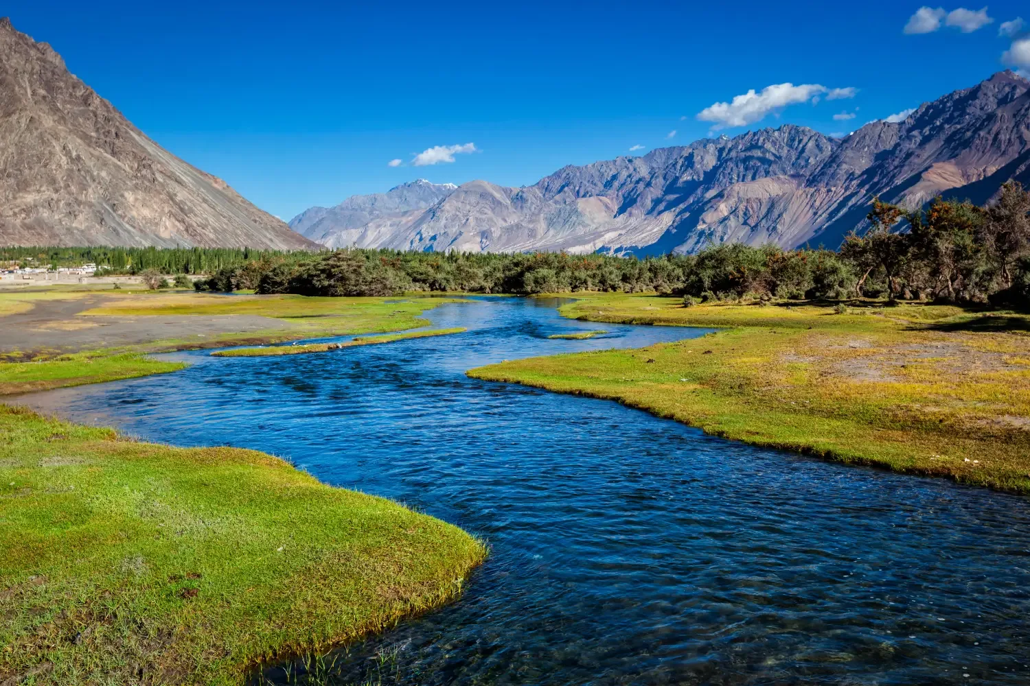
A relatively easy morning trek downwards brings you to Digar, a picturesque Ladakhi village. From here, board a vehicle for a spectacular drive along the Shyok River to Hunder, famous for its cold desert sand dunes and Bactrian camels.
Key Landmarks
Staying At
The alpine basin descends down a steep gorge toward the Hunder vehicle network.
Field Notes
KEY ACTIONRiver Crossings
Plan to cross early in the day before snowmelt swells the water levels. Unclip backpack waist belts before crossing.
Camp Alt
13,900 ft
Day Gain
+3,600 ft
Drive Hunder to Pangong Tso via Shyok or Wari La
Leave the trekking behind for a trans-Himalayan road trip. The drive follows the rugged Shyok river basin directly to the stunning, color-changing waters of Pangong Tso lake near the Indo-China border.
Key Landmarks
Staying At
The mountain highway crosses the Shyok river basin, leading to the Pangong Tso lake basin.
Camp Alt
11,500 ft
Day Gain
-2,400 ft
Drive Pangong Tso to Leh via Chang La
The final journey back to civilization. You will drive over another massive motorable pass, Chang La, before descending back into the Indus Valley and arriving in Leh.
Key Landmarks
The motorable road navigates deeper into the mountain river corridor, where the landscape transitions from lower foothills into the steep, dense forested valleys.
Trek Extensions & Add-ons
Turtuk Village
+2 DaysFrom Hunder, drive further to Turtuk, the last Balti village on the border with Pakistan, known for its distinct culture and apricots.
Plan Your Trek:
Ready to book? Compare verified operators for Digar La Trek — transparent pricing, no paid rankings.
Still deciding?
Compare routes side-by-side to find the perfect match for your fitness, dates, and budget.
Day by day, camp by camp. Send this to your group so everyone's on the same page.
Step 4: Cost & Logistics
You understand the route.
Now see what services, permits, and logistics actually cost.
View Cost Breakdown