
Explore
Intelligence
Essential Planning Guide
Digar La Trek — Complete Guide (2026)
Vibe & Scenery
The Experience
Introduction
The Digar La Trek follows one of Ladakh's historic mountain crossings, linking the fertile Indus Valley with the famous Nubra Valley across the Ladakh Range. Long before modern roads reached the region, traders, villagers, and caravans crossed Digar La while travelling between these isolated valleys.
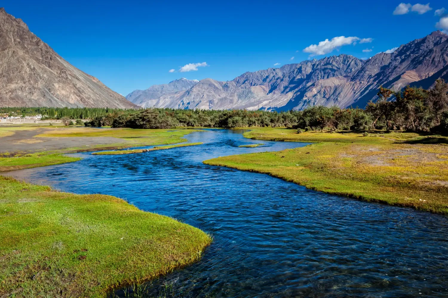
The expedition climbs steadily through remote Ladakhi settlements before reaching Digar La at approximately 17,820 ft, where thin air, loose scree, and long ascents become the defining challenges. From the pass, the landscape changes dramatically as the barren mountains of central Ladakh give way to the river valleys and sand dunes of Nubra. On clear days, trekkers are rewarded with sweeping views towards the Karakoram Range and the Saser Kangri massif.
Unlike forested Himalayan treks, Digar La is defined by its vast open landscapes, high altitude, and centuries of mountain history. Proper acclimatization is essential, making this a rewarding objective for experienced trekkers seeking a classic trans-Himalayan crossing.
Quick Facts
Duration
Max Altitude
Difficulty
Best Time
Trek Distance
Trail Atmosphere
Stargazing
Class 1 Dark Sky
Scent Profile
Silence Level
~20 dB
Vertigo Factor
4 / 10
Iconic Spots
Digar La Pass
Pangong Tso
Environment
Nature & Culture
Flora & Fauna
Flora
Fauna
Digar La was a crucial artery of the ancient Silk Route. Caravans traded wool, spices, and silk over this grueling pass for centuries.
— Local folklore
Spiritual & Cultural Significance
The trail is dotted with ancient Chortens (stupas) and Mane walls built by passing traders.
🕐 Shrine Timings: Monasteries in Leh generally open 8 AM - 5 PM.
Temple Protocols
- •Spin prayer wheels clockwise.
- •Remove shoes before entering Gomphas.
Festivals & Dates
Technical Details
Challenge & Preparation
Primarily a cardio demand and altitude exposure challenge
A demanding expedition dominated by extreme cardio demand.
Personal Readiness
Am I ready?
Planning
Logistics & Trail Intel
Getting There
Route to Base
Fly directly into Kushok Bakula Rimpochee Airport in Leh
Alternatively, a 2-day drive from Manali or Srinagar (though passes may be closed)
Base Village
Leh
11,500 ft
Last ATM
Leh
Nearest Medical Facility
SNM Hospital in Leh (excellent high-altitude facility).
Mobile Signal
None on the trail.
Water Sources
Relies on specific glacial streams at camps. Must be purified.
Charging
None during the trek. Charge banks fully in Leh.
For Drivers
Road Condition
Roads in Leh and to Saboo are excellent. Driving over Chang La is rough but highly scenic.
Leh
Trail Culinary & Diet
Don't miss the Skyu (Ladakhi pasta stew) and Momos.
Buy specialized diet items at Leh
The Content & Remote Hub
No DronesDrones are strictly banned in Ladakh due to the sensitive military borders.Top Vlog Spots
Video Calls
poor
Est. 5 Mbps
UPI Reliability
4/10
Base WiFi Available
Permits and Regulations
Indian nationals must obtain an Inner Line Permit (ILP), and foreign nationals require a Protected Area Permit (PAP) to enter the Nubra Valley and Pangong Tso regions. These are easily arranged in Leh. Ensure environmental respect by packing out all trash.
Learn more about how we vet operators and ensure transparency on our why MountRoutes page.
Packing List
Clothing & Outerwear
- Heavy expedition down jacket (-10°C to -15°C rating)
- Gore-Tex windproof and waterproof hardshell jacket and pants
- Trekking pants (quick-dry and wind-resistant)
- Thermal baselayers (top and bottom, 2 sets)
- Fleece mid-layers (jacket and pullover)
- Balaclava and UV-protective Buff for dust
- Windproof alpine gloves and fleece liner gloves
Footwear
- High-ankle waterproof trekking boots with stiff soles
- Camp shoes (sturdy sandals or sneakers)
- Heavy woolen trekking socks (4 pairs)
- Moisture-wicking liner socks
- Gaiters (for scree and occasional snow at the pass)
Gear & Accessories
- 60-70L expedition backpack with rain/dust cover
- Sleeping bag rated for -15°C comfort
- Anti-shock trekking poles (crucial for scree descents)
- High-lumen headlamp with spare lithium batteries
- Category 4 UV protection sunglasses (glacier glasses)
- Insulated Nalgene water bottles (2L capacity)
Health & Hygiene
- Comprehensive First Aid Kit (Diamox, Dexamethasone)
- High SPF (50+) sunscreen and zinc oxide lip balm
- Biodegradable wet wipes and hand sanitizer
- Water purification tablets/filter
- Oximeter
Deep Dives
Explore Further
Editor's Notes
Explore In Detail
Day by Day Itinerary
8-day route reaching 17,820ft. Covers 27.0km of varied terrain.
→ See full itinerary with altitude profileDifficulty & Fitness
Rated challenging. The terrain is defined by dry, high-altitude desert. The ascent to the pass involves loose scree and rocky switchbacks, which can be exhausting in the thin air.
→ See difficulty breakdown and fitness guideCost & Pricing
Packages range from ₹30,000 - ₹45,000. Inclusions and hidden costs vary by operator tier.
→ See full cost breakdownFrequently Asked Questions
How difficult is the Digar La trek?
The trek is rated as Moderate to Challenging. While the trekking distance is only about 25-30 km, the extreme altitude (reaching 17,820 ft) and the steep, scree-laden ascent to the pass make it very strenuous. Excellent fitness and acclimatization are mandatory.
Is acclimatization in Leh necessary?
Absolutely. Leh is at 11,500 ft. You must spend at least two full days in Leh resting and doing light sightseeing to allow your body to acclimatize before starting the trek towards 17,000+ ft.
Are there river crossings?
Yes, there are several streams to cross, especially between Digar La Base and Chumik Yokma. These are glacial melt streams and can be freezing and swift, particularly in the afternoon.
Will I get altitude sickness?
The risk of Acute Mountain Sickness (AMS) is very real on this trek. You will be sleeping at altitudes above 15,000 ft. Following a strict acclimatization protocol and carrying preventative medications like Diamox is highly advised.
Can I do this trek independently?
It is highly discouraged. The terrain is barren, water sources are specific, and navigating the pass can be tricky. Hiring a local Ladakhi guide and pack ponies is standard and ensures safety.
Is there mobile connectivity?
You will have a network in Leh and potentially BSNL/Jio in Nubra Valley (Hunder/Diskit), but expect zero connectivity during the core 3-4 days of trekking.
Do I need special mountaineering gear?
No. Digar La is a trekking pass. You do not need ropes, ice axes, or crampons during the peak summer season. Good trekking boots and poles are sufficient.
Can this be combined with a Nubra/Pangong tour?
Yes, most itineraries finish the trek in Nubra Valley, from where you can take a vehicle to Hunder (sand dunes), and then drive over the Wari La or Shyok route to Pangong Tso before returning to Leh.
Still deciding?
Compare routes side-by-side to find the perfect match for your fitness, dates, and budget.
Everything you need to know, in one place. Someone else in your group needs to see this.
Planning Digar La Trek?
Get route conditions, operator updates, and season windows before booking.
Don't miss out! Follow us for route updates@mountroutes|LinkedIn
No spam. Only useful trek updates.
Ready to walk this route?
You’ve read the guide, now find the perfect local team to take you there. Compare our verified list of operators.
Compare verified operators