
Explore
Intelligence
Essential Planning Guide
Deo Tibba Base Camp Trek — Complete Guide (2026)
Vibe & Scenery
The Experience
Introduction
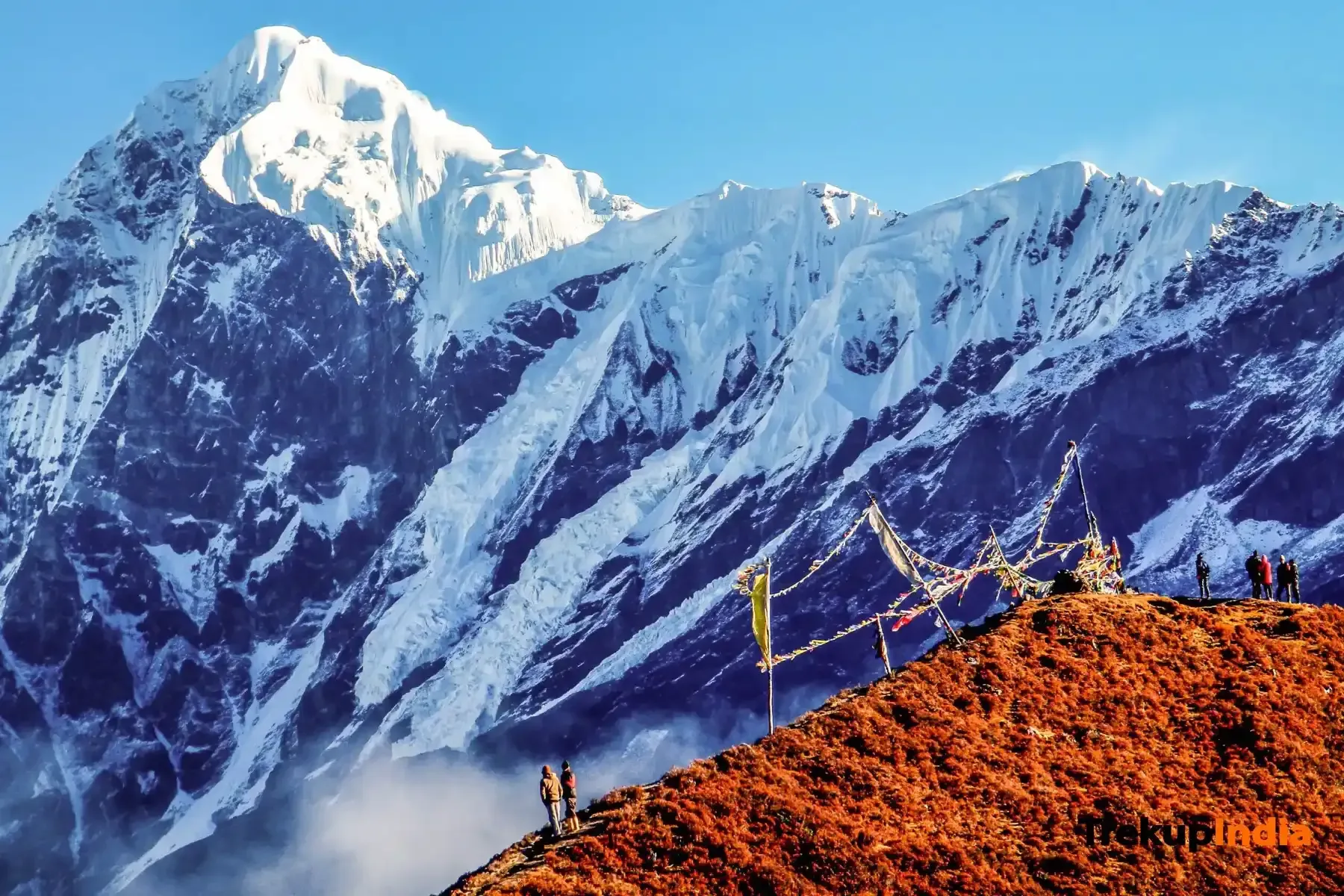
The Deo Tibba Base Camp Trek follows a spectacular route from Jagatsukh into the upper reaches of the Tainta Valley beneath the imposing south face of Deo Tibba. The trail ascends through forests of pine and deodar before reaching the alpine meadows of Seri, one of the most scenic high camps in the Manali region.
Beyond Seri, the landscape becomes increasingly rugged as the route enters glacial terrain leading to Deo Tibba Base Camp. Surrounded by the towering faces of Deo Tibba, Indrasan, and the Duhangan basin, trekkers experience the atmosphere of a true Himalayan mountaineering expedition without undertaking a technical summit climb.
Requiring good fitness and prior multi-day trekking experience, the route is an excellent progression for trekkers preparing for more demanding alpine expeditions.
Quick Facts
Duration
Max Altitude
Difficulty
Best Time
Trek Distance
Trail Atmosphere
Stargazing
Class 1 Dark Sky
Scent Profile
Silence Level
~25 dB
Vertigo Factor
3 / 10
Iconic Spots
Seri Meadow
Tenta Lake
Environment
Nature & Culture
Flora & Fauna
Flora
Fauna
The 'Temple of the Gods'. Local legend says the gods assemble at the summit of Deo Tibba for celestial councils. The peak is known for its perfect dome-like structure and is a premier site for high-altitude mountaineering training.
— Local folklore
Spiritual & Cultural Significance
Revered as the seasonal home of Kullu deities; sacred high pastures.
🕐 Shrine Timings: N/A
Temple Protocols
- •Respect local shepherd (Gaddi) customs during camp stays
Technical Details
Challenge & Preparation
Primarily a joint & muscle impact and altitude exposure challenge
A capable trekker's route that balances joint & muscle impact and altitude exposure.
Personal Readiness
Am I ready?
Planning
Logistics & Trail Intel
Getting There
Route to Base
Jagatsukh is 6 km south of Manali
Base Village
Jagatsukh (via Manali)
6,070 ft
Nearest Railhead
Rishikesh
Nearest Airport
Jollygrant Airport
Last ATM
Manali.
Nearest Medical Facility
Lady Willingdon Hospital, Manali
Mobile Signal
Strong 4G at Sethan and Manali valley. Spotty BSNL/Jio at Chikka meadow. Zero connectivity throughout the upper Seri and Base Camp bowls.
Water Sources
Abundant from the Duhangan river headwaters. Reliable natural wells and river access at Sethan, Chikka, and Seri camp meadows.
Charging
Available at Sethan (Base) village via guest houses. Zero charging availability beyond the AD Hydro roadhead checkpost.
For Drivers
Road Condition
Road to Sethan is a narrow series of 40+ hairpin bends; requiring experienced hill driving.
Manali Town
Trail Culinary & Diet
Don't miss the Siddu with ghee
Buy specialized diet items at Manali (Old Manali cafes)
The Content & Remote Hub
Top Vlog Spots
Video Calls
base-only
Est. 15 Mbps
UPI Reliability
4/10
Base WiFi Available
Permits and Regulations
Forest permits are required from the Manali Forest Division. The trail passes through protected forest zones. Indian nationals need a photo ID. Camping is restricted to designated sites at Chhika, Seri, and the Base Camp meadow. The trail shares the Duhangan Valley with active mountaineering expeditions — respect established camps and roped sections.
Learn more about how we vet operators and ensure transparency on our why MountRoutes page.
Packing List
Clothing
- Down jacket -10°C
- 2 Thermal layers
- Fleece
- Waterproof shell
- Balaclava
- Gloves
- Woolen socks (3 pairs)
Footwear Gear
- High-ankle waterproof boots
- Microspikes (May-June)
- Gaiters
- Camp slippers
Gear Safety
- 2 Trekking poles
- Headlamp
- UV Sunglasses
- Sunscreen
- Power bank
- 2L Water
- Medical kit
Deep Dives
Explore Further
Editor's Notes
Deo Tibba Base Camp is where trekkers become mountaineers. Standing face-to-face with a 19,688 ft ice wall changes your perspective on what mountains really are.
Seri meadow is the single most beautiful campsite near Manali. An amphitheater of peaks, a carpet of flowers, and a silence that resets the soul.
Explore In Detail
Day by Day Itinerary
5-day route reaching 14,000ft. Covers 34km of varied terrain.
→ See full itinerary with altitude profileDifficulty & Fitness
Rated moderate. Forest (Day 1), alpine meadow (Day 2), glacial moraine (Day 3). Progressive and challenging.
→ See difficulty breakdown and fitness guideCost & Pricing
Packages range from ₹8,500 – ₹20,000. Inclusions and hidden costs vary by operator tier.
→ See full cost breakdownFrequently Asked Questions
Is Deo Tibba Base Camp a mountain climb?
No, it is a high-altitude meadow trek that takes you to the foot of Mt. Deo Tibba without any technical climbing.
What peaks are visible from Seri?
The towering faces of Mt. Indrasan and Mt. Deo Tibba are the main highlights from the Seri camps.
Where is the trek starting point?
The trek starts from Khanol village near Manali.
Can we see the blue poppies?
Yes, the meadows near Seri are famous for rare Himalayan flora like the Blue Poppy in July-August.
Is it suitable for beginners?
Yes, it is a moderate trek and a great introduction to the higher valleys of Manali.
Are there river crossings?
Yes, crossing the stream near Chhibber can be tricky during rain; guides usually assist with the crossing.
What is the highest point reached?
Tainta at nearly 13,000 ft, located just below the Deo Tibba glacier moraine.
Is mobile signal available?
Signal is lost shortly after Khanol. The valley remains very secluded.
Route Intelligence
Routes With Similar Character
Routes that share the character of Deo Tibba Base Camp Trek.
Satopanth Tal Trek
Both demand sustained performance above 14,000 ft where altitude becomes the primary challenge. They share multiple characteristics.
Bali Pass Trek
Both demand sustained performance above 14,000 ft where altitude becomes the primary challenge.
Annapurna Base Camp Trek
Both demand sustained performance above 14,000 ft where altitude becomes the primary challenge.
Still deciding?
Compare routes side-by-side to find the perfect match for your fitness, dates, and budget.
Everything you need to know, in one place. Someone else in your group needs to see this.
Planning Deo Tibba Base Camp Trek?
Get route conditions, operator updates, and season windows before booking.
Don't miss out! Follow us for route updates@mountroutes|LinkedIn
No spam. Only useful trek updates.
Ready to walk this route?
You’ve read the guide, now find the perfect local team to take you there. Compare our verified list of operators.
Compare verified operators