
Explore
Intelligence
Difficulty & Readiness Guide
Is Dayara Bugyal Trek Difficult? — Fitness & Altitude Guide
Graded Easy-Moderate, Dayara Bugyal Trek needs 3 weeks of walking prep — the Bakaria Top ascent is the steepest push.
The Question
Can I do this trek?
Preparation Required
Intermediate
Prior Experience
Recommended: 1-2 easy Himalayan treks or regular hiking experience.
Expert Verdict
Highly technical trek requiring physical and mental preparation.
Route Knowledge
Why is it difficult?
Exertion Index
Primary Challenge
Route Identity
Fast-paced or high-mileage route demanding excellent cardiovascular fitness across a trek featuring loose moraine.
Primary Drivers
- Maximum sleeping altitude of 10,500 ft
- Grueling summit push with 1,600 ft of elevation gain
View Full Route Analysis
Physiological Demand
Comfortable pacing with moderate daily distances.
Rolling or gradual terrain with minimal harsh impact on joints.
Comfortable pacing with good recovery options.
Below the major effects of altitude sickness. Air remains relatively dense.
Terrain Breakdown
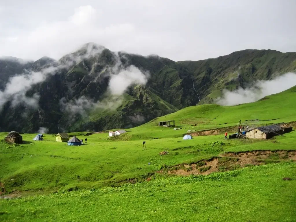
Widely known as the easiest 'Big Meadow' trek in India. The gradients are very gentle. The path is mostly well-paved stone or soft forest soil. Once you enter the bugyals, it's essentially a flat walk on grass.
Summit Day Notes
The walk to Dayara Top (12,100ft) from Gui is a 7-hour round trip but lacks any steep or technical sections. The altitude gain is gradual making it very safe for children.
The Descent
A fast and easy 3-hour descent back to Raithal. No major steep drops that stress the ACL.
Altitude Profile
Smooth gain from Raithal (7,100ft) to Gui (9,500ft) to Dayara (12,100ft). This is a textbook acclimatization curve.
Run AMS Risk Audit →Trail Performance Data
Max Gradient
25%
Hydration
0.4L per km recommended
Loose Surface Sections
- •Chilapada to Dayara initial rise
Personal Readiness
Am I ready?
What this route demands
People who feel comfortable on this route can usually:
Who Can Do This Trek?
Min Age
7+
Max Age
65
Western Toilets at Base
Yes
Solo Female Travelers
Extremely High; Raithal is a very safe homestay-driven village economy.
Hazard Profile
What goes wrong?
Common Mistakes on Dayara Bugyal Trek
Most injuries and failures on this trail can be avoided by making smarter decisions early on.
Underestimating the night wind — the meadows are exposed. A windproof shell is more important than a thick sweater.
Leaving the summit too early — most groups rush it. Spend at least 4 hours in the meadows.
Ignoring hydration — because the trek is 'easy', people forget to drink water. 11,000ft still causes dehydration.
No power bank — Raithal is the last charging point. Cold weather at Gui drains batteries quickly.
Assuming BSNL works throughout — network is extremely localized. Switch to airplane mode.
Safety & Medical Risks
Key Risks
Wind chill on the open meadows can cause hypothermia if ill-prepared
Slippery trails in forest during March/early April snow melt
Minor AMS risk on Dayara Top for elderly trekkers
AMS (Altitude Sickness)
Very safe curve. Drink 4-5L water daily. Watch for minor headaches at Gui evening.
Evacuation Route
Direct descent to Raithal village. Paved road starts directly at the village edge.
Solo Trekking
Highly recommended for solo trekkers. The trail is safe, well-marked, and impossible to lose. Villager homestays make it safer than camping-only treks.
Common Trail Ailments
🏥 Nearest ICU: AIIMS Rishikesh / Max Super Specialty Hospital, Dehradun
Tactical Emergency Hub
> One of the easiest evacuations in Garhwal. Raithal roadhead is 1.5 hrs from lower camps. Drive to Uttarkashi District Hospital is 2 hrs.
Auditability
How is this calculated?
Understand This Route Further
Before attempting this route:
Still deciding?
Compare routes side-by-side to find the perfect match for your fitness, dates, and budget.
Still think it's doable? Share this with your trek mate and see if they agree.
Step 2: Seasonal Safety
You know how demanding this route is.
Now find the safest and most reliable season to attempt it.
Check Best Time to Go