
Explore
Intelligence
Detailed Route
Chopta Chandrashila Trek Itinerary — Day by Day Route & Camps
A 4-day beginner-friendly trek from Sari village, encompassing Deoria Tal, Chopta, and the Chandrashila summit.
Standard RouteThis is the standard mountain pacing for this trek. Specific operators may add an acclimatization day or alter the starting point. Check individual operator schedules for their exact logistics.
Duration
4 Days
Total Distance
10 KM
Max Altitude
13,100 FT
Trek Type
circuit
Day by Day Breakdown
Camp Alt
6,550 ft
Day Gain
+5,450 ft
Drive to Sari Village
Pick up from Rishikesh by 8:00 AM. Drive along the holy Ganges and Alaknanda rivers. Sari is a calm base village. Last reliable ATM at Ukhimath (14km before Sari). Night stay in a homestay/guesthouse.
Key Landmarks
The motorized route ascends from the plains into the Mandakini river basin.
Camp Alt
7,840 ft
Day Gain
+1,290 ft
Reach Deoriatal
A very short but steep uphill walk. Deoriatal is a crystal clear lake that offers the famous reflection of the Chaukhamba massif. Night camping by the lake (subject to forest department rules) or in nearby forest huts.
Key Landmarks
Staying At
The rugged alpine terrain opens up to reveal a spectacular high-altitude glacial tarn, serving as a critical hydrological node in the upper watershed.
Camp Alt
8,790 ft
Day Gain
+950 ft
Reach Chopta
A long walk through dense rhododendrons and oak forests. This is the most scenic section of the forest trail. Chopta is often called 'Mini Switzerland' due to its vast undulating meadows. Night stay in tents or guesthouses.
Key Landmarks
Staying At
The route navigates the dense forest canopy leading to the Chopta ridge.
Camp Alt
1,100 ft
Day Gain
-7,690 ft
Today's Objective
🏔 Summit Chandrashila
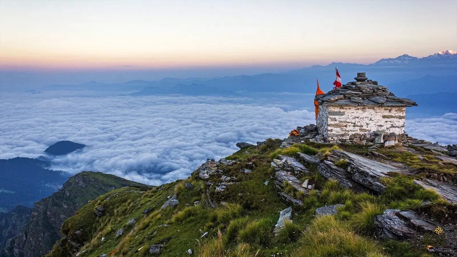
Start early for sunrise. Trail to Tungnath (highest Shiva temple) is well-paved. The final 1km from temple to peak is steep. Summit offers 360-degree Himalayan views. Descend to Chopta and drive back to Rishikesh. Reach by 10 PM.
Key Landmarks
Crossing the high-altitude pass bridges two distinct watershed systems, shifting the expedition over the glaciated divide and down into a new river basin.
Trek Extensions & Add-ons
Deoria Tal Link
+1 Daytraverse from Chopta towards Sari village to reach the mirror-reflecting lake of Deoria Tal.
Plan Your Trek:
Ready to book? Compare verified operators for Chopta Chandrashila Trek — transparent pricing, no paid rankings.
Still deciding?
Compare routes side-by-side to find the perfect match for your fitness, dates, and budget.
Day by day, camp by camp. Send this to your group so everyone's on the same page.
Step 4: Cost & Logistics
You understand the route.
Now see what services, permits, and logistics actually cost.
View Cost Breakdown