
Explore
Intelligence
Detailed Route
Cheni Pass Trek Itinerary — Day by Day Route & Camps
The Cheni Pass Trek is a 5-day journey starting from Trella / Devi Kothi (Churah), peaking on Day 4 at the highest camp.
Standard RouteThis is the standard mountain pacing for this trek. Specific operators may add an acclimatization day or alter the starting point. Check individual operator schedules for their exact logistics.
Duration
5 Days
Total Distance
45 KM
Max Altitude
14,500 FT
Trek Type
linear
Permits Required Before You Go
Permit Cost
Where to Get
Tisa / Bhanudi
Documents
Aadhar/Passport
Foreign Nationals
Ensure passport is stamped at the checkposts as Pangi is a sensitive zone.
Foreigner Process
No special permits required beyond a standard visa.
Nearest Embassy Hub
New Delhi
Day by Day Breakdown
Camp Alt
8,000 ft
Day Gain
+4,500 ft
Drive to Devi Kothi & Trek to First Camp
Drive deep into the Churah valley. The trek starts near the ancient Devi Kothi temples. The trail plunges instantly into incredibly thick cedar and oak forests, climbing violently out of the river basin.
Key Landmarks
Staying At
The trail follows the mountain river corridor through a narrow, forested gorge, moving past traditional settlements into increasingly dense dense forested valleys.
Field Notes
KEY ACTIONRiver Crossings
Plan to cross early in the day before snowmelt swells the water levels. Unclip backpack waist belts before crossing.
Camp Alt
11,500 ft
Day Gain
+3,500 ft
Reach High Meadow
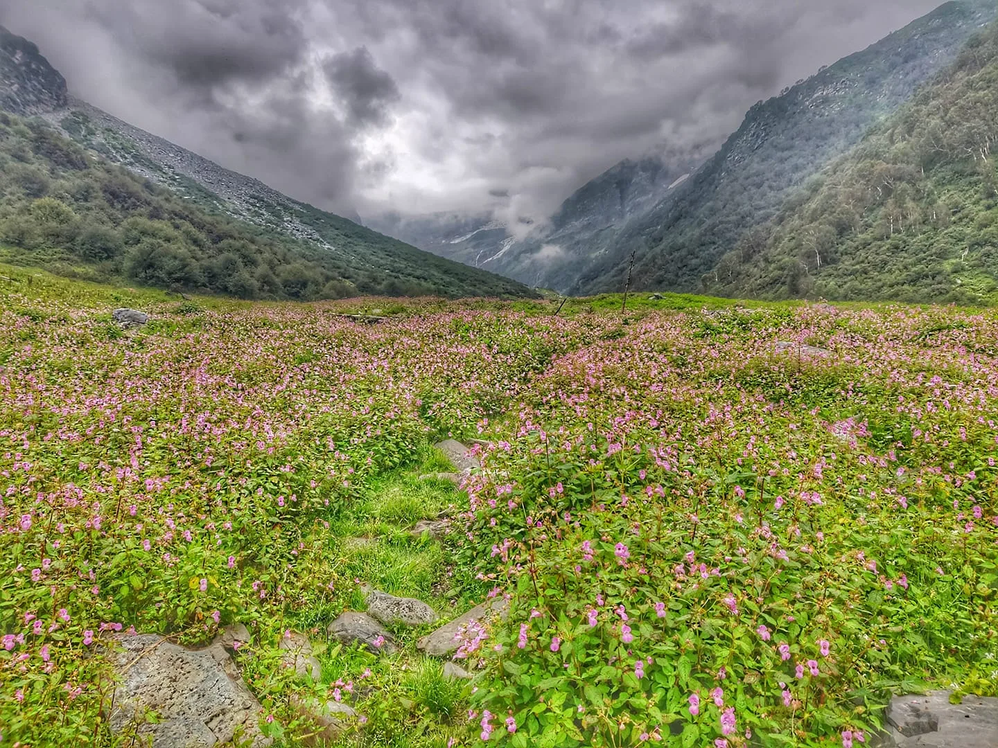
Exit the thick forests onto sweeping alpine grass slopes. These slopes are deceivingly steep and physically exhausting. Water sources are plentiful until the very top of the meadow.
Key Landmarks
Staying At
Tree line disappears as the valley broadens into a spectacular high-altitude alpine meadow basin, replacing the dense forests with expansive grazing pastures.
Camp Alt
13,500 ft
Day Gain
+2,000 ft
Reach Alyas Base Camp
A shorter day prioritizing acclimatization. The grass ends entirely, replaced by harsh, jagged rocks and glacial scree. Establish camp right at the foot of the massive headwall leading to Cheni Pass.
Key Landmarks
Staying At
Vegetation gives way to barren glacial debris as the route enters the expansive moraine basin and ablation zone of the glaciated upper watershed.
Field Notes
Use Trekking Poles
Trekking poles are highly recommended to save your knees on the descent.
INFOSlower Progress
Progress will be significantly slower and more taxing on your ankles than trail distance suggests.
Camp Alt
11,000 ft
Day Gain
-2,500 ft
Today's Objective
🏔 Cross Descend To Cheni Pass
Start at dawn. The push is short vertically but incredibly technical over loose scree. At 14,500 ft, you crest the Pir Panjal. The view changes instantly from lush foothills to the barren, canyon-like walls of Pangi. The descent on the northern face is steep, requiring gaiters to plunge-step through hard snow.
Key Landmarks
Staying At
Crossing the high-altitude pass bridges two distinct watershed systems, shifting the expedition over the glaciated divide and down into a new river basin.
Field Notes
Use Trekking Poles
Trekking poles are highly recommended to save your knees on the descent.
INFOSlower Progress
Progress will be significantly slower and more taxing on your ankles than trail distance suggests.
Camp Alt
8,500 ft
Day Gain
-2,500 ft
Trek to Mindal & Drive to Killar
Walk out the rest of the high valley, dropping severely down to the rushing Chenab river. Arrive at Mindal and eventually Killar, the administrative hub of the remote Pangi valley.
Key Landmarks
Staying At
The high alpine pass descends into the Pangi valley settlement at Mindal.
Field Notes
KEY ACTIONRiver Crossings
Plan to cross early in the day before snowmelt swells the water levels. Unclip backpack waist belts before crossing.
Trek Extensions & Add-ons
Miyar Valley
+4 DaysDrive from Killar to Udaipur, and hike deep into the Miyar Valley, the 'Yosemite of India.'
Plan Your Trek:
Ready to book? Compare verified operators for Cheni Pass Trek — transparent pricing, no paid rankings.
Still deciding?
Compare routes side-by-side to find the perfect match for your fitness, dates, and budget.
Day by day, camp by camp. Send this to your group so everyone's on the same page.
Step 4: Cost & Logistics
You understand the route.
Now see what services, permits, and logistics actually cost.
View Cost Breakdown