
Explore
Intelligence
Detailed Route
Chandrabhaga Glacier Trek Itinerary — Day by Day Route & Camps
A brutal but breathtaking 5-day strike. Drive to 15,000 ft, acclimatize, then hike over treacherous moraine to touch the ancient ice of the Chandrabhaga Glacier at 17,200 ft.
Standard RouteThis is the standard mountain pacing for this trek. Specific operators may add an acclimatization day or alter the starting point. Check individual operator schedules for their exact logistics.
Duration
5 Days
Total Distance
20.0 KM
Max Altitude
17,200 FT
Trek Type
circuit
Permits Required Before You Go
Permit Cost
Where to Get
Manali or Darcha Checkpost
Documents
Original Aadhar Card / Passport
Foreign Nationals
Foreigners must present their passports and visas at the Darcha police checkpost on the drive up.
Foreigner Process
Standard passport check at the Darcha police post on the highway.
Nearest Embassy Hub
New Delhi
Day by Day Breakdown
Camp Alt
15,000 ft
Day Gain
+8,300 ft
Drive Manali to Bharatpur Tent Colony
A massive and visually stunning driving day. You cross the Atal Tunnel, leaving the green Kullu valley and entering the stark Lahaul desert. The drive takes you past Jispa and Darcha, climbing the hairpin bends of the Manali-Leh highway to cross the Baralacha La Pass (16,040 ft). You descend slightly to the Bharatpur Tent Colony, a seasonal cluster of dhabas, which serves as your base camp.
Key Landmarks
Staying At
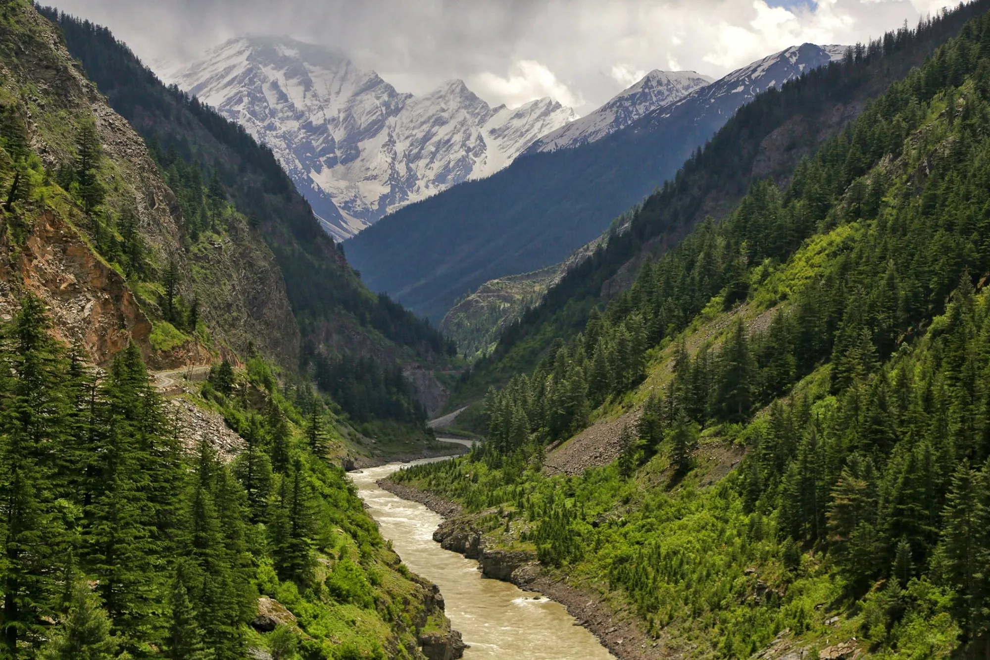
The motorable road navigates deeper into the Chandra and Bhaga valleys, where the landscape transitions from lower foothills into the steep, rain-shadow desert.
Camp Alt
15,000 ft
Day Gain
0 ft
Today's Objective
☕ Acclimatization & Recovery
Because of the extreme altitude jump yesterday, today is a mandatory rest day. You will do a short acclimatization hike 500 ft up the slopes of Mt. Yunnam to force your lungs to adapt, then return to camp to sleep low. Drink at least 4 liters of water today.
Key Landmarks
Staying At
The expedition remains stationed within the high-altitude ablation zone, adjusting to the stark environment where exposed scree and ice dominate the glaciated upper watershed.
Field Notes
Use Trekking Poles
Trekking poles are highly recommended to save your knees on the descent.
INFOSlower Progress
Progress will be significantly slower and more taxing on your ankles than trail distance suggests.
Camp Alt
16,200 ft
Day Gain
+1,200 ft
Reach Silver Moraine Camp
The expedition begins on foot. You leave the highway and walk directly into the barren wilderness. There is no defined trail; you navigate over massive boulder fields and loose scree. You will have to ford several freezing glacial streams. The camp is set up on a rocky moraine surrounded by towering, unnamed peaks and glacial ice.
Key Landmarks
Staying At
Vegetation gives way to barren glacial debris as the route enters the expansive moraine basin and ablation zone of the glaciated upper watershed.
Field Notes
KEY ACTIONRiver Crossings
Plan to cross early in the day before snowmelt swells the water levels. Unclip backpack waist belts before crossing.
Stow Poles
Requires hands-on rock scrambling. Stow trekking poles to free up your hands.
INFOSlower Progress
Progress will be significantly slower and more taxing on your ankles than trail distance suggests.
Camp Alt
16,200 ft
Day Gain
0 ft
Today's Objective
🏔 Cross Chandrabhaga Glacier
The summit day. You leave your heavy bags at camp and push higher into the moraine. The terrain is a mix of hard ice and loose rock. You will reach high-altitude glacial lakes like Kya Tso and Ga Tso, which remain frozen for most of the year. The final push takes you to the massive snout of the Chandrabhaga glacier at over 17,200 ft. After touching the ice, you descend carefully back to the Silver Moraine camp.
Key Landmarks
Staying At
Crossing the high-altitude pass bridges two distinct watershed systems, shifting the expedition over the glaciated divide and down into a new river basin.
Field Notes
Use Trekking Poles
Trekking poles are highly recommended to save your knees on the descent.
INFOSlower Progress
Progress will be significantly slower and more taxing on your ankles than trail distance suggests.
Camp Alt
6,700 ft
Day Gain
-9,500 ft
Trek to Bharatpur & Drive to Manali
Break down the moraine camp early in the morning and retrace your steps over the boulder fields back to the Manali-Leh highway at Bharatpur. The descent is faster but still requires careful footing over the loose rocks. From Bharatpur, you board your vehicles for the long 7-hour drive back to the lush, oxygen-rich environment of Manali.
Key Landmarks
The high alpine meadows narrow into forested river terraces as tree line vegetation reappears in the lower mountain river corridor.
Field Notes
Stow Poles
Requires hands-on rock scrambling. Stow trekking poles to free up your hands.
INFOSlower Progress
Progress will be significantly slower and more taxing on your ankles than trail distance suggests.
Trek Extensions & Add-ons
Yunnam Peak Summit
+2 DaysExperienced mountaineers can extend this trip to summit Mt. Yunnam (20,000 ft), accessible from the Bharatpur base camp.
Plan Your Trek:
Ready to book? Compare verified operators for Chandrabhaga Glacier Trek — transparent pricing, no paid rankings.
Still deciding?
Compare routes side-by-side to find the perfect match for your fitness, dates, and budget.
Day by day, camp by camp. Send this to your group so everyone's on the same page.
Step 4: Cost & Logistics
You understand the route.
Now see what services, permits, and logistics actually cost.
View Cost Breakdown