
Explore
Intelligence
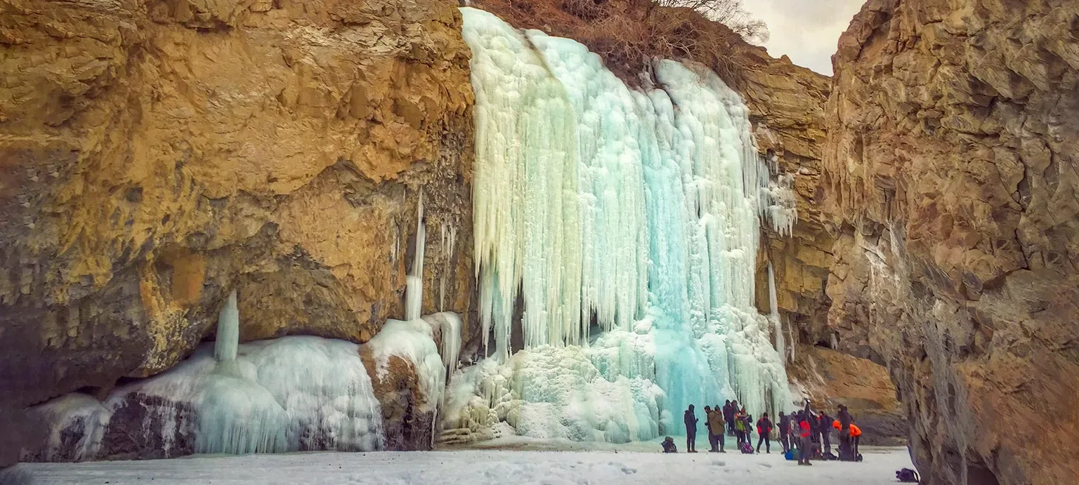
Season & Weather Guide
Best Time for Chadar Trek — Month-by-Month Guide
Strictly limited to the peak winter months of January and February when the Zanskar River freezes firmly into a solid ice chadar. Views of surrounding peaks are cleanest and sharpest during these stable windows.
Seasonal Verdict
When should you go?
The Chadar Trek is a unique, extreme winter expedition in Ladakh where trekkers walk on the frozen Zanskar River. The defining experience—the ice sheet itself—only forms during the absolute coldest months of the year. During the rest of the year, the river is flowing and this specific trek ceases to exist.
Season at a Glance
Editor's Notes
June to September is the window when the mountain highways are open and the climate is pleasant.
Avoid planning flights or major transits during high monsoon months due to frequent weather delays.
Month by Month
What each month looks like
January
Peak SeasonConditions
The Zanskar river freezes into a solid sheet of ice. Temperatures drop to -30°C. This is the prime window for the trek.
Crowds
high
Closed. Extreme winter conditions.
February
Peak SeasonConditions
The ice sheet is usually thick and stable early in the month. By late February, the ice begins to melt and crack.
Crowds
high
Closed. Extreme winter conditions.
March
Conditions
The ice sheet breaks apart as temperatures begin to rise. Trekking is impossible.
Crowds
none
Ice sheet has melted; river is flowing.
Early season. Deep snow accumulations.
April
Conditions
The river is flowing. The Chadar experience does not exist.
Crowds
none
Ice sheet has melted; river is flowing.
Early season. Deep snow accumulations.
May
Conditions
The river is flowing. The Chadar experience does not exist.
Crowds
none
Ice sheet has melted; river is flowing.
Prime pre-monsoon window. Good snow stability.
June
Conditions
The river is flowing. The Chadar experience does not exist.
Crowds
none
Ice sheet has melted; river is flowing.
Prime pre-monsoon window. Good snow stability.
July
Conditions
The river is flowing. The Chadar experience does not exist.
Crowds
none
Ice sheet has melted; river is flowing.
Peak season in rain shadow. River crossings swell.
August
Conditions
The river is flowing. The Chadar experience does not exist.
Crowds
none
Ice sheet has melted; river is flowing.
Peak season in rain shadow. River crossings swell.
September
Conditions
The river is flowing. The Chadar experience does not exist.
Crowds
none
Ice sheet has melted; river is flowing.
Crystal clear skies. Best visibility of the year.
October
Conditions
The river is flowing. The Chadar experience does not exist.
Crowds
none
Ice sheet has melted; river is flowing.
Crystal clear skies. Best visibility of the year.
November
Conditions
Temperatures drop rapidly, but the river has not yet frozen solid.
Crowds
none
Ice sheet has not yet formed.
Winter setting in. Sub-zero temperatures rapid.
December
Conditions
Extreme cold begins to freeze the edges of the river, but the continuous ice sheet (the Chadar) is rarely stable enough.
Crowds
none
Ice sheet has not fully formed.
Closed. Extreme winter conditions.
Plan Your Trek:
Still deciding?
Compare routes side-by-side to find the perfect match for your fitness, dates, and budget.
Timing makes or breaks a trek. Send this to your group before you decide.
Step 3: Route Intelligence
You've chosen a season.
Now see exactly how the route unfolds day by day, including terrain types and daily altitude profiles.
Explore the Itinerary