
Explore
Intelligence
Detailed Route
Bhubhu Pass Trek Itinerary — Day by Day Route & Camps
A 4-day crossover journey starting in the Lagh Valley of Kullu, traversing the 9,840 ft pass, and descending into the Barot/Kangra valley.
Standard RouteThis is the standard mountain pacing for this trek. Specific operators may add an acclimatization day or alter the starting point. Check individual operator schedules for their exact logistics.
Duration
4 Days
Total Distance
31.0 KM
Max Altitude
9,840 FT
Trek Type
linear
Day by Day Breakdown
Camp Alt
7,500 ft
Day Gain
+3,400 ft
Drive Kullu to Dak Bungalow Roadhead
Drive roughly an hour from Kullu town into the beautiful Lagh Valley to reach the roadhead at Dalighat. From here, begin a gradual, scenic ascent through thick cedar and pine forests to reach the camping grounds near the old British-era Dak Bungalow.
Key Landmarks
Staying At
The trail follows the Beas river corridor through a narrow, forested gorge, moving past traditional settlements into increasingly dense lush deodar forests.
Camp Alt
8,800 ft
Day Gain
+1,300 ft
Trek: Dak Bungalow to Jhingbhan
A beautiful day of walking entirely through deep forests of oak, walnut, and cedar. The incline is steady but not punishing. You will eventually break out of the dense canopy into the high-altitude grazing pastures of Jhingbhan to pitch camp.
Key Landmarks
Staying At
The trail follows the mountain river corridor through a narrow, forested gorge, moving past traditional settlements into increasingly dense dense forested valleys.
Camp Alt
8,500 ft
Day Gain
-300 ft
Today's Objective
🏔 Cross Jhingbhan To Dentbhial Via Bhubhu Pass
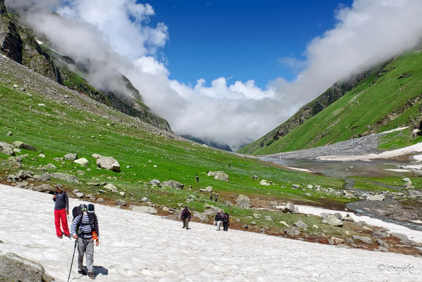
The summit day. The trail climbs sharply from Jhingbhan over a rocky, zigzag path to reach the Bhubhu Pass. At the top, you cross over from the Kullu district into the Kangra/Mandi district, offering vast views of the Dhauladhar range. The descent to Dentbhial is steep initially before leveling out near a mountain stream.
Key Landmarks
Staying At
Crossing the high-altitude pass bridges two distinct watershed systems, shifting the expedition over the glaciated divide and down into a new river basin.
Field Notes
KEY ACTIONRiver Crossings
Plan to cross early in the day before snowmelt swells the water levels. Unclip backpack waist belts before crossing.
Use Trekking Poles
Trekking poles are highly recommended to save your knees on the descent.
INFOSlower Progress
Progress will be significantly slower and more taxing on your ankles than trail distance suggests.
Camp Alt
4,700 ft
Day Gain
-3,800 ft
Descend to Dentbhial and Drive
The final descent is an easy downhill walk through lush forests, passing small streams and shepherd huts, until you reach the village of Mulling in the Barot valley. From Mulling, board waiting vehicles for the scenic drive to Palampur or Dharamshala.
Key Landmarks
The high alpine meadows narrow into forested river terraces as tree line vegetation reappears in the lower Beas river corridor.
Field Notes
KEY ACTIONRiver Crossings
Plan to cross early in the day before snowmelt swells the water levels. Unclip backpack waist belts before crossing.
Trek Extensions & Add-ons
Barot Valley & Bir Billing
+2 DaysAfter ending the trek at Mulling, spend a day exploring the beautiful Barot valley (known for trout fishing), followed by a day of paragliding at Bir Billing.
Plan Your Trek:
Ready to book? Compare verified operators for Bhubhu Pass Trek — transparent pricing, no paid rankings.
Still deciding?
Compare routes side-by-side to find the perfect match for your fitness, dates, and budget.
Day by day, camp by camp. Send this to your group so everyone's on the same page.
Step 4: Cost & Logistics
You understand the route.
Now see what services, permits, and logistics actually cost.
View Cost Breakdown