
Explore
Intelligence
Detailed Route
Killar to Zanskar via Chari Jote Expedition Itinerary — Day by Day Route & Camps
Standard RouteThis is the baseline pacing strategy for this expedition. Expedition leaders frequently modify rotation schedules, add reserve weather days, or adjust high camps based on real-time mountain conditions. Consult the operator's expedition dossier for their precise approach.
Duration
10 Days
Total Distance
90 KM
Max Altitude
16,998 FT
Trek Type
linear
One-Way Traverse Logistics
Day by Day Breakdown
Camp Alt
7,800 ft
Day Gain
0 ft
Today's Objective
☕ Acclimatization & Recovery
Arrive Killar via the dramatic Sach Pass drive. Complete SDM registration, meet guides and porters, final gear check. Stock all 10 days of food from Killar market. Rest day.
Key Landmarks
Staying At
The team holds position within the alpine meadow basin, monitoring weather patterns and adapting to the thinning atmosphere.
Camp Alt
9,800 ft
Day Gain
+2,000 ft
Reach Chari Nala
Follow the Chenab river gorge trail and then branch into the Chari nala — the feeder valley that leads to the Chari Jote pass. Camp at the first suitable flat section in the lower nala.
Key Landmarks
Staying At
Crossing the high-altitude pass bridges two distinct watershed systems, shifting the expedition over the glaciated divide and down into a new river basin.
Field Notes
KEY ACTIONRiver Crossings
Plan to cross early in the day before snowmelt swells the water levels. Unclip backpack waist belts before crossing.
Use Trekking Poles
Trekking poles are highly recommended to save your knees on the descent.
INFOSlower Progress
Progress will be significantly slower and more taxing on your ankles than trail distance suggests.
Camp Alt
12,200 ft
Day Gain
+2,400 ft
Reach Mid-Valley Camp
Ascending progressively through the Chari nala. The valley narrows and the glaciated peaks above begin to dominate the skyline. Camp at a protected flat section.
Key Landmarks
Staying At
Vegetation gives way to barren glacial debris as the route enters the expansive moraine basin and ablation zone of the glaciated upper watershed.
Field Notes
KEY ACTIONRiver Crossings
Plan to cross early in the day before snowmelt swells the water levels. Unclip backpack waist belts before crossing.
Camp Alt
12,200 ft
Day Gain
0 ft
Today's Objective
☕ Acclimatization & Recovery
Rest day for acclimatization. Short walk to 13,000 ft and return. Monitor all team members' blood oxygen with pulse oximeter. Mandatory physiological preparation for the sustained high altitude ahead.
Key Landmarks
Staying At
The team holds position within the alpine meadow basin, monitoring weather patterns and adapting to the thinning atmosphere.
Camp Alt
15,500 ft
Day Gain
+3,300 ft
Reach High Glacier Camp
The glacier camp preparation day. Strap crampons. Navigate through the crevasse field with rope team safety. Establish an exposed but protected camp on a moraine shelf at 15,500 ft.
Key Landmarks
Staying At
Crossing the high-altitude pass bridges two distinct watershed systems, shifting the expedition over the glaciated divide and down into a new river basin.
Field Notes
Use Trekking Poles
Trekking poles are highly recommended to save your knees on the descent.
INFOSlower Progress
Progress will be significantly slower and more taxing on your ankles than trail distance suggests.
Camp Alt
14,000 ft
Day Gain
-1,500 ft
Today's Objective
🏔 Summit Killar Zanskar Chari Jote Peak
Start 3:30am by headlamp. The approach to the col is steep glacier with a final exposed ridge section. The Chari Jote col is narrow and dramatic. Cross into Ladakh and begin the long descent on the Zanskar side. Camp well below the col on stable moraine.
Key Landmarks
Staying At
Crossing the high-altitude pass bridges two distinct watershed systems, shifting the expedition over the glaciated divide and down into a new river basin.
Field Notes
KEY ACTIONHigh Exposure
High-consequence exposure zones ahead. Requires confident rock scrambling and strict three-point contact.
INFOSlower Progress
Progress will be significantly slower and more taxing on your ankles than trail distance suggests.
Camp Alt
12,000 ft
Day Gain
-2,000 ft
Descend through Lungnak Valley
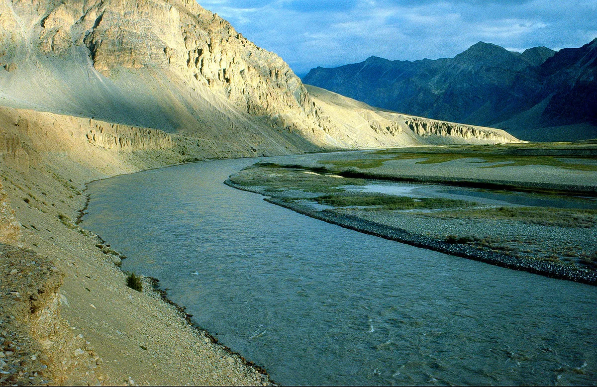
First full day in Zanskar. The landscape is utterly transformed — desert rock, ancient alluvial deposits, and the turquoise Lungnak river. The contrast with the forest Pangi valley is complete.
Key Landmarks
Staying At
The barren ice and moraine of the upper basin transition quickly back into alpine scrub and alpine meadow basin as the route loses elevation.
Field Notes
KEY ACTIONRiver Crossings
Plan to cross early in the day before snowmelt swells the water levels. Unclip backpack waist belts before crossing.
Camp Alt
11,500 ft
Day Gain
-500 ft
Traverse Lungnak Villages
Walk through the extraordinary Zanskar valley floor. Ancient Buddhist chortens, prayer walls, and small monastery settlements define the landscape. First resupply opportunity at Lungnak village.
Key Landmarks
Staying At
Crossing the high-altitude pass bridges two distinct watershed systems, shifting the expedition over the glaciated divide and down into a new river basin.
Field Notes
Use Trekking Poles
Trekking poles are highly recommended to save your knees on the descent.
INFOSlower Progress
Progress will be significantly slower and more taxing on your ankles than trail distance suggests.
Camp Alt
11,400 ft
Day Gain
-100 ft
Reach Padum Approach
The final approach walk to Padum — the capital of Zanskar. The broad Zanskar valley opens dramatically. The famous Karsha monastery is visible on the cliff above. Arrive near Padum by evening.
Key Landmarks
Staying At
Vegetation gives way to barren glacial debris as the route enters the expansive moraine basin and ablation zone of the glaciated upper watershed.
Field Notes
KEY ACTIONRiver Crossings
Plan to cross early in the day before snowmelt swells the water levels. Unclip backpack waist belts before crossing.
Camp Alt
11,400 ft
Day Gain
0 ft
Trek to Roadhead & Drive to Padum
Final walk into Padum. Bus or jeep service connects Padum to Kargil (and onward to Leh) by road. The expedition is complete.
Key Landmarks
Staying At
Vegetation gives way to barren glacial debris as the route enters the expansive moraine basin and ablation zone of the glaciated upper watershed.
Camp-by-Camp Details
Killar Base
Base Town
Chari Nala High Camp
High Camp
Padum Exit Base
Base Town
Plan Your Expedition:
Ready to book? Compare verified operators for Killar to Zanskar via Chari Jote Expedition — transparent pricing, no paid rankings.
Still deciding?
Compare routes side-by-side to find the perfect match for your fitness, dates, and budget.
Day by day, camp by camp. Send this to your group so everyone's on the same page.
Step 4: Safety & Framework
You understand the route.
Now understand the hazards, physiology, and Go/No-Go decision framework.
View Safety Framework