
Explore
Intelligence
Detailed Route
Bara Bhangal Grand Traverse Expedition Itinerary — Day by Day Route & Camps
Standard RouteThis is the baseline pacing strategy for this expedition. Expedition leaders frequently modify rotation schedules, add reserve weather days, or adjust high camps based on real-time mountain conditions. Consult the operator's expedition dossier for their precise approach.
Duration
12 Days
Total Distance
85 KM
Max Altitude
15,994 FT
Trek Type
linear
One-Way Traverse Logistics
Day by Day Breakdown
Camp Alt
9,900 ft
Day Gain
+3,400 ft
Reach Lamadugh
Ascend sharply from civilization into the thick Deodar forests overlooking the Kullu Valley.
Key Landmarks
Staying At
The journey follows the Beas river corridor, transitioning from the lower foothills into the dense pine and deodar forests of the Kullu Valley.
Field Notes
Use Trekking Poles
Trekking poles are highly recommended to save your knees on the descent.
INFOSlower Progress
Progress will be significantly slower and more taxing on your ankles than trail distance suggests.
Camp Alt
11,500 ft
Day Gain
+1,600 ft
Reach Riyali Thach
Cross the high ridges separating the Kullu watershed from the Kalihani approach.
Key Landmarks
Staying At
The trail ascends steeply from the Beas valley floor, breaking through the dense forest canopy into open alpine pastures offering panoramic views of the Kullu basin.
Field Notes
Use Trekking Poles
Trekking poles are highly recommended to save your knees on the descent.
INFOSlower Progress
Progress will be significantly slower and more taxing on your ankles than trail distance suggests.
Camp Alt
13,500 ft
Day Gain
+2,000 ft
Reach Kalihani Base Camp
Ascend into the pure rocky alpine zone directly below the Kalihani Headwall.
Key Landmarks
Staying At
Tree line begins to thin as the route traverses high above the valley floor, entering expansive alpine meadows surrounded by the Dhauladhar peaks.
Field Notes
Use Trekking Poles
Trekking poles are highly recommended to save your knees on the descent.
INFOSlower Progress
Progress will be significantly slower and more taxing on your ankles than trail distance suggests.
Camp Alt
12,500 ft
Day Gain
-1,000 ft
Today's Objective
🏔 Summit Summit Kalihani Pass
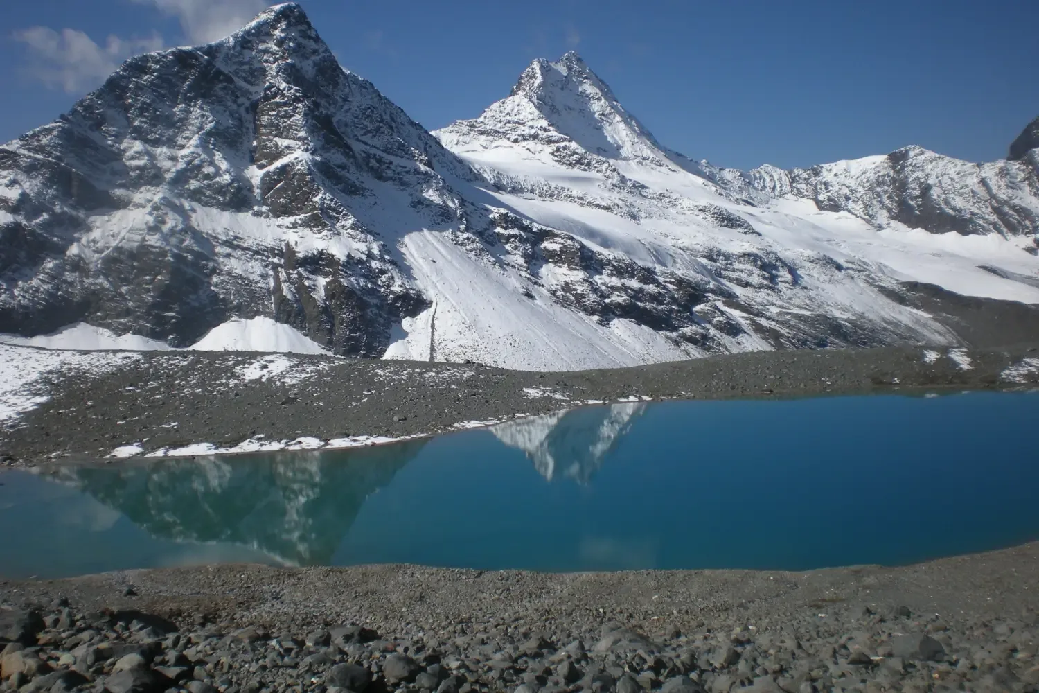
Cross miles of crevassed blue ice. Summit the pass and drop heavily down the northern face into the true wilderness away from Kullu.
Key Landmarks
Staying At
The lush meadows give way to rocky alpine scrub and glacial streams as the expedition enters the high moraine basin beneath the Kalihani Pass.
Field Notes
KEY ACTIONRoped Travel
Requires roped glacier travel.
KEY ACTIONStart Early
Start before sunrise to ensure snow bridges remain solid.
Use Trekking Poles
Trekking poles are highly recommended to save your knees on the descent.
INFOSlower Progress
Progress will be significantly slower and more taxing on your ankles than trail distance suggests.
Camp Alt
11,500 ft
Day Gain
-1,000 ft
Reach Dal Marhi
A wild river walk. Navigating deep gullies and unnamed streams as you head deeper into the Ravi river catchment.
Key Landmarks
Staying At
Crossing the 15,500 ft pass bridges two distinct watershed systems, shifting the expedition from the Beas drainage over the glaciated divide and down into the remote Ravi river basin.
Field Notes
KEY ACTIONRiver Crossings
Plan to cross early in the day before snowmelt swells the water levels. Unclip backpack waist belts before crossing.
Use Trekking Poles
Trekking poles are highly recommended to save your knees on the descent.
INFOSlower Progress
Progress will be significantly slower and more taxing on your ankles than trail distance suggests.
Camp Alt
8,500 ft
Day Gain
-3,000 ft
Reach Bara Bhangal Village
The canyon widens. Suddenly, architecture appears out of nowhere. Arrive at Bara Bhangal, the legendary lost village of Himachal.
Key Landmarks
Staying At
The fractured ice and steep moraine of the descent transition back into remote alpine grazing pastures hidden deep within the Ravi valley.
Camp Alt
8,500 ft
Day Gain
0 ft
Rest & Resupply at Bara Bhangal
Mandatory rest day. Explore the ancient wooden houses, interact with the Gaddis, and prepare physically for the second pass.
Key Landmarks
Staying At
Following the Ravi river downstream, the high alpine wilderness briefly yields to the ancient, isolated agricultural settlement of Bara Bhangal.
Camp Alt
12,500 ft
Day Gain
+4,000 ft
Reach Mardh
Leave the village and immediately begin the steep climb toward Thamsar Pass. The altitude gain today is massive.
Key Landmarks
Staying At
Leaving the village behind, the route ascends a new tributary valley, entering dense birch and rhododendron forests as it approaches the base of the Dhauladhar range.
Field Notes
Use Trekking Poles
Trekking poles are highly recommended to save your knees on the descent.
INFOSlower Progress
Progress will be significantly slower and more taxing on your ankles than trail distance suggests.
Camp Alt
14,000 ft
Day Gain
+1,500 ft
Reach Thamsar Base Camp
A shorter acclimatization push. Camp directly beneath the imposing, icy headwall of Thamsar Pass.
Key Landmarks
Staying At
Forest vegetation disappears completely as the valley broadens into a barren, rocky amphitheater at the foot of the Thamsar Pass headwall.
Field Notes
Use Trekking Poles
Trekking poles are highly recommended to save your knees on the descent.
INFOSlower Progress
Progress will be significantly slower and more taxing on your ankles than trail distance suggests.
Camp Alt
11,500 ft
Day Gain
-2,500 ft
Today's Objective
🏔 Summit Cross Thamsar Pass & Descend to Panihartu
The final major hurdle. Climb the icy Thamsar pass. Looking south, civilization finally reappears in the hazy Kangra valley. A steep, knee-crushing descent drops into Panihartu.
Key Landmarks
Staying At
Traversing a second massive watershed divide, the route crosses the glaciated pass from the Ravi basin into the lush, monsoon-fed Kangra valley.
Field Notes
Use Trekking Poles
Trekking poles are highly recommended to save your knees on the descent.
INFOSlower Progress
Progress will be significantly slower and more taxing on your ankles than trail distance suggests.
Camp Alt
8,500 ft
Day Gain
-3,000 ft
Reach Rajgundha
Walk deep into the lush Uhl river valley. Re-enter the heavy pine forests, arriving at the picturesque, pastoral village of Rajgundha.
Key Landmarks
Staying At
The stark high-altitude topography softens dramatically as the trail descends back into the dense pine forests and terraced fields of the Kangra district.
Field Notes
KEY ACTIONRiver Crossings
Plan to cross early in the day before snowmelt swells the water levels. Unclip backpack waist belts before crossing.
Use Trekking Poles
Trekking poles are highly recommended to save your knees on the descent.
INFOSlower Progress
Progress will be significantly slower and more taxing on your ankles than trail distance suggests.
Camp Alt
5,000 ft
Day Gain
-3,500 ft
Trek to Billing & Drive to Bir
Walk the final forest track to Billing, then board 4x4s for the descent into the vibrant paragliding hub of Bir. The expedition concludes.
Key Landmarks
The deep, forested trails open up to the panoramic paragliding meadows of Billing before descending to the broad Kangra valley floor.
Camp-by-Camp Details
Manali Base
Base Town
Kalihani Basecamp
High Camp
Bara Bhangal Village
Base Camp
Rest and resupply.
Thamsar Basecamp
High Camp
Bir Exit
Base Town
Plan Your Expedition:
Ready to book? Compare verified operators for Bara Bhangal Grand Traverse Expedition — transparent pricing, no paid rankings.
Still deciding?
Compare routes side-by-side to find the perfect match for your fitness, dates, and budget.
Day by day, camp by camp. Send this to your group so everyone's on the same page.
Step 4: Safety & Framework
You understand the route.
Now understand the hazards, physiology, and Go/No-Go decision framework.
View Safety Framework