
Explore
Intelligence
Difficulty & Readiness Guide
Is Bara Bhangal Grand Traverse Expedition Difficult? — Fitness & Altitude Guide
The Question
Can I do this trip?
Preparation Required
Advanced
Prior Experience
Required: At least 2-3 moderate Himalayan treks (above 13,000ft).
Expert Verdict
Highly technical peak requiring physical and mental preparation.
High-Altitude Crossing — Grading Context
At 55/100 on the ExpeditionDifficulty Scale, this is one of India's most demanding high-altitude crossings. Due to the remoteness, sustained altitude, and total daily effort, this crossing demands elite fitness and prior high-altitude experience.
Bara Bhangal Grand Traverse Expedition
Himalayan Placement · Index 55Route Knowledge
Why is it difficult?
Exertion Index
Primary Challenge
Route Identity
Long-duration high-altitude approach through glacial valleys and moraine terrain.
Primary Drivers
- Maximum sleeping altitude of 14,000 ft
- Grueling summit push with 2,300 ft of elevation gain
- 6 consecutive high-output trekking days
- Peak daily distance of 15 km
View Full Route Analysis
Physiological Demand
Expect long, exhausting days of sustained climbing at high intensity. Your cardiovascular system will be pushed to its absolute limit.
Rough, uneven trails with occasional scrambling or minor exposure.
Multi-day camping requiring mental toughness to handle weather and fatigue debt.
Below the major effects of altitude sickness. Air remains relatively dense.
Rolling or gradual terrain with minimal harsh impact on joints.
Terrain Breakdown
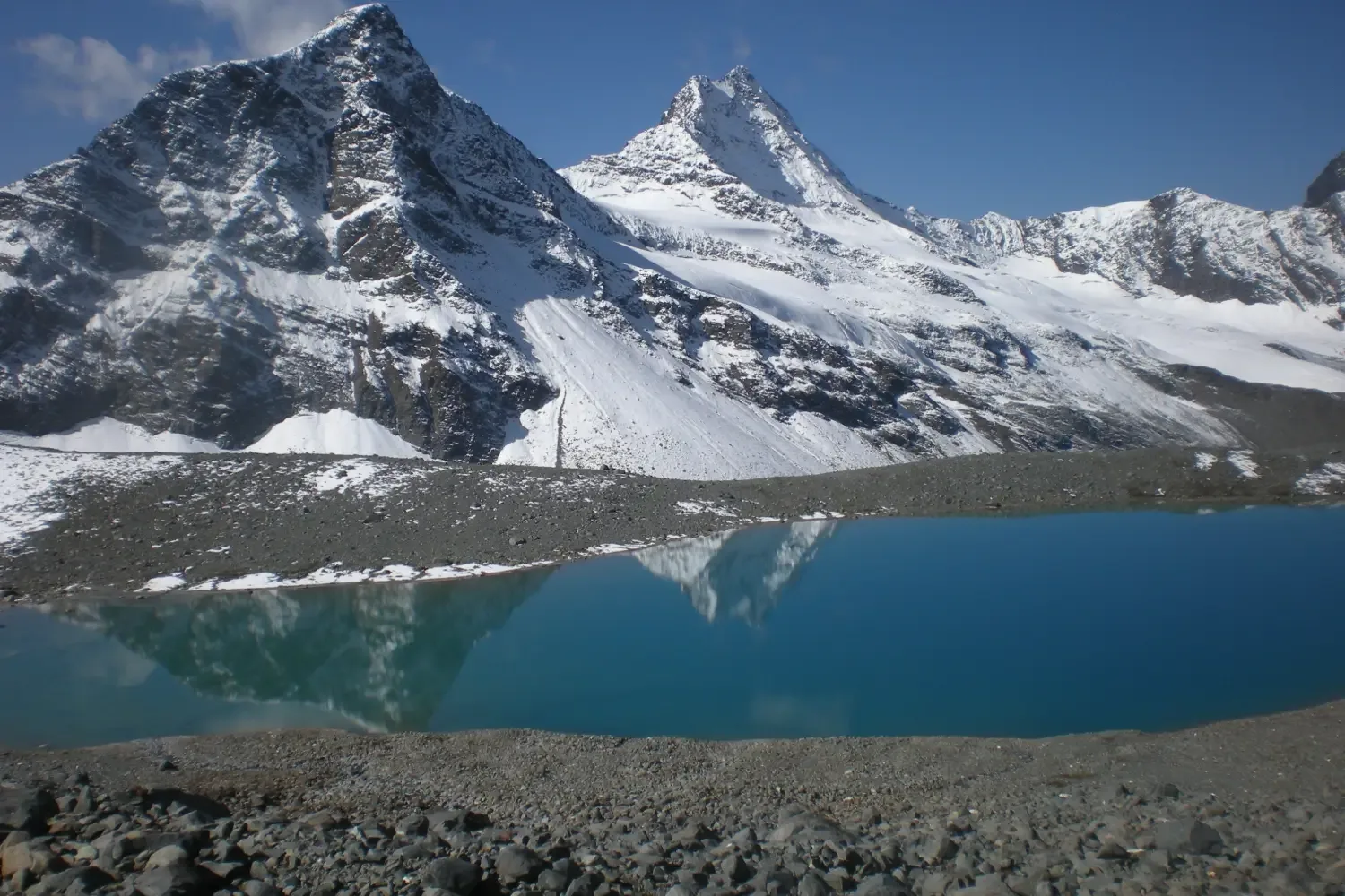
Varied and taxing. Involves thick alpine forests, steep ridges, glacial moraines, ice fields, and river crossings over two major passes (Kalihani and Thamsar).
Summit Day Notes
Pass crossing days are the crux. Expect long hours of ascent over snow, ice, and unstable scree to elevations of up to 4,875m.
Altitude Profile
Operates between 2,000m and 4,875m over 11-15 days. Gradual acclimatization, camping between 3,000m and 4,000m.
Run AMS Risk Audit →Trail Performance Data
Personal Readiness
Am I ready?
What this route demands
People who feel comfortable on this expedition can usually:
Who Can Do This Trip?
Hazard Profile
What goes wrong?
Safety & Medical Risks
Key Risks
Crevasse falls on Kalihani
Drowning during Ravi river crossings
HAPE/HACE on the second pass due to cumulative fatigue
AMS (Altitude Sickness)
Very high risk profile due to sustained days above 12,000 ft.
Evacuation Route
Between Day 5 and Day 8, evacuation is almost impossible. You must ride a mule manually to the nearest pass.
Solo Trekking
Absolutely, unequivocally prohibited.
Tactical Emergency Hub
> Helipad in Bir.
Auditability
How is this calculated?
Understand This Route Further
Before attempting this route:
Still deciding?
Compare routes side-by-side to find the perfect match for your fitness, dates, and budget.
Still think it's doable? Share this with your trek mate and see if they agree.
Step 2: Seasonal Safety
You know how demanding this route is.
Now find the safest and most reliable season to attempt it.
Check Best Time to Go