
Explore
Intelligence
Detailed Route
Sara Umga Pass Trek Itinerary — Day by Day Route & Camps
A 7-day expedition starting in the lush forests of Tosh, crossing the massive Tosh glacier, and plunging into the barren Lahaul high desert.
Standard RouteThis is the standard mountain pacing for this trek. Specific operators may add an acclimatization day or alter the starting point. Check individual operator schedules for their exact logistics.
Duration
7 Days
Total Distance
52.0 KM
Max Altitude
16,500 FT
Trek Type
circuit
Permits Required Before You Go
Permit Cost
Where to Get
DFO Office, Kullu or Manali SDM.
Documents
Aadhar Card / Passport, Passport size photos, Medical Fitness Certificate (Stamped by MBBS), Risk Declaration Form
Foreign Nationals
Foreigners require Inner Line Permits as the trek exits into the sensitive Lahaul/Spiti border region. Process takes 1-2 days in Manali.
Foreigner Process
Foreigners require Inner Line Permits for exiting into Lahaul/Spiti. Takes 1-2 working days in Manali.
Nearest Embassy Hub
New Delhi
Day by Day Breakdown
Camp Alt
9,900 ft
Day Gain
+3,200 ft
Drive to Barshaini & Trek to Buddhaban
Drive from Manali through the Parvati valley to the roadhead at Tosh. From Tosh, the trek begins through apple orchards and dense pine forests alongside the Tosh river, ending at the scenic meadow of Buddhaban.
Key Landmarks
Staying At
The vehicle route ends, transitioning into a forested trail following the Parvati river gorge.
Field Notes
KEY ACTIONRiver Crossings
Plan to cross early in the day before snowmelt swells the water levels. Unclip backpack waist belts before crossing.
Camp Alt
11,480 ft
Day Gain
+1,580 ft
Reach Sharam Thach
A steady climb through beautiful meadows (Thach) and rhododendron bushes. The treeline begins to thin out. The trail involves boulder hopping near the river before arriving at the high grazing pastures of Sharam Thach.
Key Landmarks
Staying At
Tree line disappears as the valley broadens into a spectacular high-altitude alpine meadow basin, replacing the dense forests with expansive grazing pastures.
Field Notes
KEY ACTIONRiver Crossings
Plan to cross early in the day before snowmelt swells the water levels. Unclip backpack waist belts before crossing.
Use Trekking Poles
Trekking poles are highly recommended to save your knees on the descent.
INFOSlower Progress
Progress will be significantly slower and more taxing on your ankles than trail distance suggests.
Camp Alt
12,460 ft
Day Gain
+980 ft
Reach Shamshi Thach
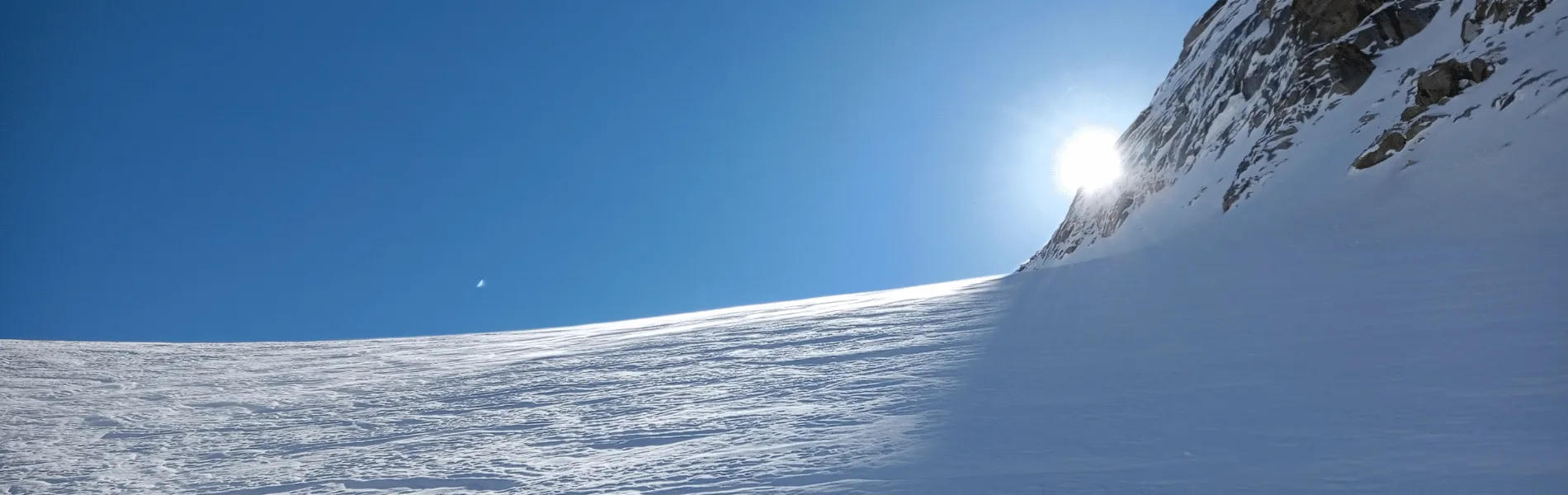
The landscape turns dramatically rugged. You leave the green pastures behind and enter a world of rock and ice. The trail ascends steep moraine ridges toward the snout of the massive Tosh Glacier.
Key Landmarks
Staying At
Tree line disappears as the valley broadens into a spectacular high-altitude alpine meadow basin, replacing the dense forests with expansive grazing pastures.
Field Notes
Use Trekking Poles
Trekking poles are highly recommended to save your knees on the descent.
INFOSlower Progress
Progress will be significantly slower and more taxing on your ankles than trail distance suggests.
Camp Alt
13,450 ft
Day Gain
+990 ft
Reach Kuta Thach Base Camp
A highly technical day. You walk over the Tosh glacier, navigating open and hidden crevasses. The terrain is entirely loose rock and ice. Camp is pitched at Kuta Thach, a cold, desolate plateau right below the pass.
Key Landmarks
Staying At
Vegetation gives way to barren glacial debris as the route enters the expansive moraine basin and ablation zone of the glaciated upper watershed.
Field Notes
Use Trekking Poles
Trekking poles are highly recommended to save your knees on the descent.
INFOSlower Progress
Progress will be significantly slower and more taxing on your ankles than trail distance suggests.
Camp Alt
12,500 ft
Day Gain
-950 ft
Today's Objective
🏔 Cross Kuta Thach Via Sara Umga Pass
The summit push. Start by 3 AM. The climb to the pass is a brutal, steep ascent over ice and scree. At 16,500 ft, you stand on the divide, looking into the barren Lahaul valley. The descent to Putiruni is incredibly steep, knee-breaking, and requires utmost caution.
Key Landmarks
Staying At
The route crosses the mountain divide at Sara Umga Pass, dropping into the Lahaul valley.
Field Notes
KEY ACTIONRoped Travel
Requires roped glacier travel.
KEY ACTIONStart Early
Start before sunrise to ensure snow bridges remain solid.
Use Trekking Poles
Trekking poles are highly recommended to save your knees on the descent.
INFOSlower Progress
Progress will be significantly slower and more taxing on your ankles than trail distance suggests.
Camp Alt
11,800 ft
Day Gain
-700 ft
Reach Chota Dhara
A relatively flat but exhausting walk alongside the roaring Chandra river. The landscape is pure Spiti-style high desert—dry, windy, and vast. Arrive at the roadhead of Chota Dhara on the Manali-Kaza highway.
Key Landmarks
Staying At
The high alpine pass descends into the Lahaul valley basin at Chota Dhara.
Field Notes
KEY ACTIONRiver Crossings
Plan to cross early in the day before snowmelt swells the water levels. Unclip backpack waist belts before crossing.
Camp Alt
6,700 ft
Day Gain
-5,100 ft
Drive Chota Dhara to Manali
Board the vehicles for the drive back to Manali. Depending on road conditions, you will either cross the Rohtang Pass or take the Atal Tunnel, transitioning back from the barren desert to the green Kullu valley.
Key Landmarks
The motorable road navigates deeper into the Beas river corridor, where the landscape transitions from lower foothills into the steep, lush deodar forests.
Trek Extensions & Add-ons
Spiti Valley Tour
+4 DaysUpon exiting at Chota Dhara, instead of turning left to Manali, turn right to explore the ancient monasteries and high deserts of Kaza and Spiti Valley.
Plan Your Trek:
Ready to book? Compare verified operators for Sara Umga Pass Trek — transparent pricing, no paid rankings.
Still deciding?
Compare routes side-by-side to find the perfect match for your fitness, dates, and budget.
Day by day, camp by camp. Send this to your group so everyone's on the same page.
Step 4: Cost & Logistics
You understand the route.
Now see what services, permits, and logistics actually cost.
View Cost Breakdown