
Explore
Intelligence
Detailed Route
Reo Purgyil Base Camp Trek Itinerary — Day by Day Route & Camps
A 7-day immersive expedition traversing diverse Himalayan landscapes and alpine altitudes.
Standard RouteThis is the standard mountain pacing for this trek. Specific operators may add an acclimatization day or alter the starting point. Check individual operator schedules for their exact logistics.
Duration
7 Days
Total Distance
45 KM
Max Altitude
17,850 FT
Trek Type
linear
Permits Required Before You Go
Permit Cost
Where to Get
Leh DC Office (Online Portal)
Documents
Aadhar/Passport Copy, 2 Passport Photos, Medical Certificate, Disclaimer Form
Foreign Nationals
Yes, Inner Line Permit is mandatory; must be booked via a registered local travel agency with a group of at least 2.
Foreigner Process
Foreigners MUST have an Inner Line Permit to travel past Jangi towards Nako.
Nearest Embassy Hub
New Delhi
Day by Day Breakdown
Camp Alt
11,890 ft
Day Gain
+4,390 ft
Today's Objective
☕ Acclimatization & Recovery
Acclimatization day. Visit the 11th-century monastery and the sacred Nako Lake.
Key Landmarks
The team holds position within the alpine meadow basin, monitoring weather patterns and adapting to the thinning atmosphere.
Camp Alt
11,890 ft
Day Gain
0 ft
Reach Nako Upper Ridge
Gentle hike to test respiratory capacity before the high desert ascent.
Tree line disappears as the valley broadens into a spectacular high-altitude alpine meadow basin, replacing the dense forests with expansive grazing pastures.
Camp Alt
14,200 ft
Day Gain
+2,310 ft
Reach Transit Camp (Chalam)
Crossing into the absolute barren zone. The landscape turns from dusty green to sharp grey rock.
Key Landmarks
Crossing the high-altitude pass bridges two distinct watershed systems, shifting the expedition over the glaciated divide and down into a new river basin.
Camp Alt
15,800 ft
Day Gain
+1,600 ft
Reach High Camp (Moraine Flat)
Steep ascent on unstable moraine. High risk of sliding stones.
Key Landmarks
Crossing the high-altitude pass bridges two distinct watershed systems, shifting the expedition over the glaciated divide and down into a new river basin.
Field Notes
Use Trekking Poles
Trekking poles are highly recommended to save your knees on the descent.
INFOSlower Progress
Progress will be significantly slower and more taxing on your ankles than trail distance suggests.
Camp Alt
17,850 ft
Day Gain
+2,050 ft
Today's Objective
🏕 Establish Reo Purgyil Base Camp
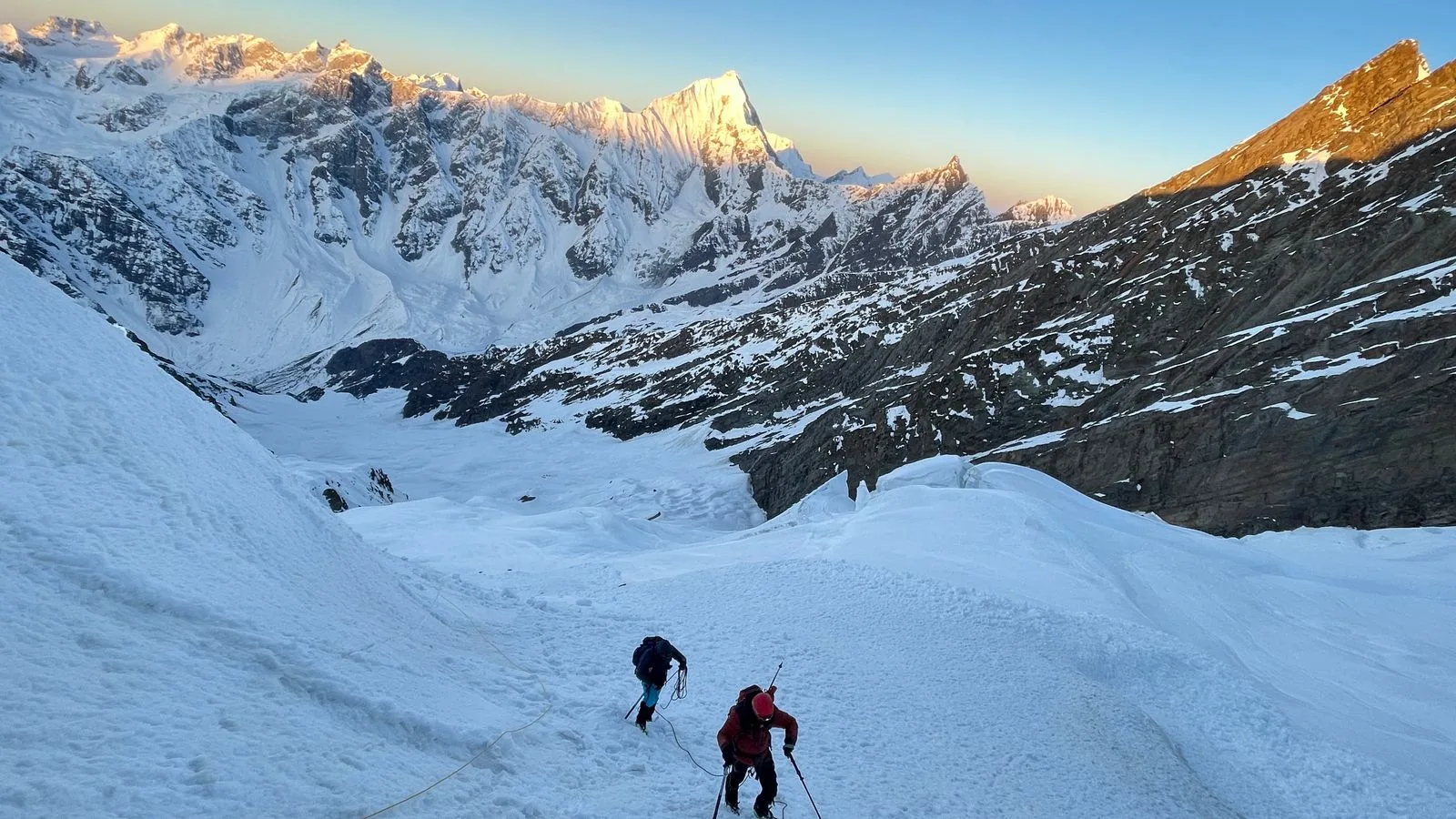
Crossing the upper glacier basin to settle at the foot of the giant. Spectacular 360-degree views of the Tibetan peaks.
Key Landmarks
Crossing the high-altitude pass bridges two distinct watershed systems, shifting the expedition over the glaciated divide and down into a new river basin.
Field Notes
Use Trekking Poles
Trekking poles are highly recommended to save your knees on the descent.
INFOSlower Progress
Progress will be significantly slower and more taxing on your ankles than trail distance suggests.
Camp Alt
15,800 ft
Day Gain
-2,050 ft
Explore Base Camp & Return to High Camp
Photography and survey day before descending.
The barren ice and moraine of the upper basin transition quickly back into alpine scrub and alpine meadow basin as the route loses elevation.
Field Notes
Use Trekking Poles
Trekking poles are highly recommended to save your knees on the descent.
INFOSlower Progress
Progress will be significantly slower and more taxing on your ankles than trail distance suggests.
Camp Alt
11,890 ft
Day Gain
-3,910 ft
Return to Nako
Long descent. Re-entering Nako''s connectivity zone.
The high alpine meadows narrow into forested river terraces as tree line vegetation reappears in the lower mountain river corridor.
Field Notes
Use Trekking Poles
Trekking poles are highly recommended to save your knees on the descent.
INFOSlower Progress
Progress will be significantly slower and more taxing on your ankles than trail distance suggests.
Trek Extensions & Add-ons
Mount Reo Purgyil Summit Bush
+10 DaysFull-scale mountaineering expedition to the 6,816m summit. Requires Grade 2 IMF clearance.
Plan Your Trek:
Ready to book? Compare verified operators for Reo Purgyil Base Camp Trek — transparent pricing, no paid rankings.
Still deciding?
Compare routes side-by-side to find the perfect match for your fitness, dates, and budget.
Day by day, camp by camp. Send this to your group so everyone's on the same page.
Step 4: Cost & Logistics
You understand the route.
Now see what services, permits, and logistics actually cost.
View Cost Breakdown