
Explore
Intelligence
Difficulty & Readiness Guide
Is Prashar Lake Trek Difficult? — Fitness & Altitude Guide
Zero preparation needed.
The Question
Can I do this trek?
Preparation Required
Entry Level
Prior Experience
None required. Suitable for first-time trekkers.
Expert Verdict
Highly technical trek requiring physical and mental preparation.
Route Knowledge
Why is it difficult?
Exertion Index
Primary Challenge
Route Identity
Fast-paced or high-mileage route demanding excellent cardiovascular fitness across a trek featuring loose moraine.
Primary Drivers
- Grueling summit push with 2,750 ft of elevation gain
View Full Route Analysis
Physiological Demand
Comfortable pacing with moderate daily distances.
Rolling or gradual terrain with minimal harsh impact on joints.
Comfortable pacing with good recovery options.
Terrain Breakdown
Gentle forest trail. No technical sections. Suitable for children and seniors with basic fitness.
Summit Day Notes
Altitude: 8,900ft. Zero AMS risk for healthy people.
The Descent
Easy. 2-2.5 hours. Can be slippery when wet.
Trail Performance Data
Max Gradient
20%
Hydration
0.3L per km recommended
Loose Surface Sections
- •Initial climb from Baggi
Personal Readiness
Am I ready?
What this route demands
People who feel comfortable on this route can usually:
Who Can Do This Trek?
Min Age
5+
Max Age
70
Western Toilets at Base
Yes
Solo Female Travelers
Very High; popular pilgrimage site and safe village environment.
Hazard Profile
What goes wrong?
Common Mistakes on Prashar Lake Trek
Most injuries and failures on this trail can be avoided by making smarter decisions early on.
Driving up instead of trekking — you miss the forest experience.
Not carrying cash — there are no shops or ATMs at the lake.
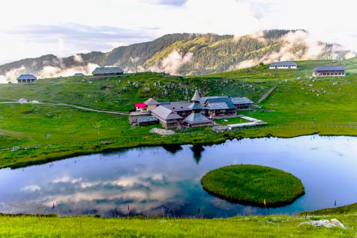
Attempting to reach the floating island — it's considered sacred and offensive.
Littering — local community monitors strictly.
Not staying for sunrise — it's the best part.
Safety & Medical Risks
Key Risks
Slippery trail in rain/snow
Cold nights at the lake (down to -5°C in winter)
No medical facility near the lake
AMS (Altitude Sickness)
Zero risk. 8,900ft is very safe.
Evacuation Route
Walk to Baggi (2.5 hours). Taxi to Mandi (1.5 hours).
Solo Trekking
Extremely safe. The trail is popular and well-marked. Solo trekkers should carry a headlamp and inform their hotel.
Common Trail Ailments
🏥 Nearest ICU: SLBSGMC Hospital, Ner Chowk, Mandi
Tactical Emergency Hub
> Road accessible directly to the lake (alternate route). 1 hr drive to Mandi hospital hub. Very safe for beginners.
Auditability
How is this calculated?
Before attempting this route:
Still deciding?
Compare routes side-by-side to find the perfect match for your fitness, dates, and budget.
Still think it's doable? Share this with your trek mate and see if they agree.
Step 2: Seasonal Safety
You know how demanding this route is.
Now find the safest and most reliable season to attempt it.
Check Best Time to Go