Difficulty & Readiness Guide
Is Pin Parvati Pass Expedition Difficult? — Fitness & Altitude Guide
An elite expedition crossing a 17,500ft glaciated pass; the technical ice wall and crevassed terrain require prior experience with crampons and ice axes.
Preparation Required
Elite
Prior Experience
Mandatory: Prior high-altitude trekking (16,000ft+) and basic technical knowledge.
Score Engine v3
Why This Score?
Stamina
29/100
Based on average nightly altitude gain, highest campsite, and daily distance. Reflects how hard the average day feels.
Spike Day
57/100
Based on max altitude reached, summit day elevation gain, and summit day distance. Reflects the hardest single day.
Why Pin Parvati Pass Expedition Feels Difficult
An elite-level undertaking with extreme cumulative fatigue, joint & muscle impact, and altitude exposure. This route will push every dimension of your physical and mental endurance to the limit.
Physiological Demand
Deep wilderness isolation and cumulative fatigue. The mental challenge of enduring days on end in harsh conditions is extreme.
Steep, punishing ascents and descents that will heavily tax your knees, ankles, and overall joint stability.
Extreme high altitude exposure. Severe oxygen depletion requires careful acclimatization and peak cardiovascular health.
Expect long, exhausting days of sustained climbing at high intensity. Your cardiovascular system will be pushed to its absolute limit.
Rough, uneven trails with occasional scrambling or minor exposure.
Crux Section
Day 8 — Oxygen Peak
Highest exposure point at 17,500ft.
High-Altitude Crossing — Grading Context
At 78/100 on the ExpeditionDifficulty Scale, this is one of India's most demanding high-altitude crossings. Due to the remoteness, sustained altitude, and total daily effort, this crossing demands elite fitness and prior high-altitude experience.
Pin Parvati Pass Expedition/ 78
The Ice Wall
Caution
The final 500m to the pass is a near-vertical ice wall. You climb on fixed ropes with crampons and an ice axe. At 17,000ft. With 57% oxygen. This is not a trek. This is mountaineering.
Terrain Breakdown
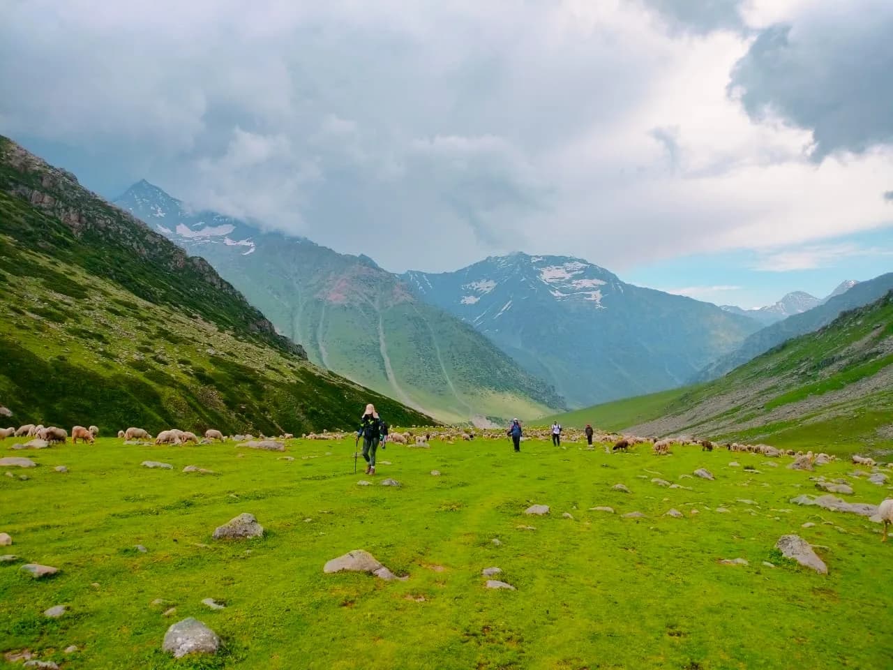
Forest (Days 2-3), moraine (Days 4-6), glacier (Days 7-8), desert (Days 9-10). The glacier is the crux — crevasses, ice walls, and extreme altitude.
Summit Day Notes
Altitude: 17,500ft. Oxygen at 57%. 12-hour day. Fixed ropes on the final wall. This is mountaineering, not trekking.
The Descent
Spiti side is steep scree. Very hard on knees and ankles.
Preparation
Expert. 10km run in 50 minutes. 50 floors stair climb with 12kg pack. Prior glacier experience essential. IMF BMC or equivalent mountaineering course highly recommended.
Altitude Profile
6.5k -> 9.7k -> 12.5k -> 14.5k -> 17.5k -> 14k -> 12k. Extreme respiratory stress.
Run AMS Risk Audit →Route Stress Forecast
Highest exposure point at 17,500ft.
Deep 3,500ft descent will test joint stability.
First major altitude jump occurs on Day 2.
*Forecast derived from route geometry and altitude profile. External variables (weather/group) remain the final authority.
Trail Performance Data
Max Gradient
60%
Hydration
0.6L per km recommended
Loose Surface Sections
- •Pin side descent moraine-scree
- •Parvati glacier
Common Mistakes on Pin Parvati Pass Expedition
Most injuries and failures on this trail can be avoided by making smarter decisions early on.
Attempting without prior 15k ft experience.
Skipping the acclimatization day at Odi Thach.
Not carrying enough fuel (gas stoves) for 11 days.
Underestimating the river crossings on the Parvati side.
Ignoring weather warnings — the pass can shut for days.
Safety & Medical Risks
Key Risks
Glacier crevasses (hidden under snow bridges)
Extreme altitude (17,500ft — HAPE/HACE risk)
Ice wall ascent on fixed ropes
11-day isolation with zero connectivity
Rapid river crossings on the Parvati side
AMS (Altitude Sickness)
HIGH RISK. Pro-active AMS management with Diamox from Day 5 (if prescribed). Mandatory acclimatization day at Odi Thach. Oxygen saturation below 75% is an immediate evacuation trigger.
Evacuation Route
Manual stretcher to Barshaini (Parvati side, 3 days) or Mudh (Spiti side, 2 days). Helicopter only possible at Barshaini or Kaza.
Solo Trekking
ABSOLUTELY NOT. This is a technical expedition requiring a team, ropes, and glacier navigation skills. Solo attempts are life-threatening.
Common Trail Ailments
🏥 Nearest ICU: IGMC, Shimla
Tactical Emergency Hub
> Extremely difficult; requires 2-3 days of carry back to roadheads. Heli-evacuation is the only life-saving option for severe AMS on the glacier.
Who Can Do This Trip?
Min Age
16+
Max Age
50
Western Toilets at Base
Yes
Solo Female Travelers
High; elite trek requires professional group support and provides secure environment.
Expert Verdict
Highly technical peak requiring physical and mental preparation.
Ready to book? Compare verified operators for Pin Parvati Pass Expedition — transparent pricing, no paid rankings.
Want to know which operators carry certified guides and medical support? See operator safety ratings for Pin Parvati Pass Expedition
Also on this trek
Still deciding?
Compare routes side-by-side to find the perfect match for your fitness, dates, and budget.
Still think it's doable? Share this with your trek mate and see if they agree.
Fit for the challenge?
For challenging treks, safety is paramount. Find operators prioritizing medical support and guide expertise.
Compare operator safety scores