
Explore
Intelligence
Essential Planning Guide
Moon Peak Trek — Complete Guide (2026)
Vibe & Scenery
The Experience
Introduction
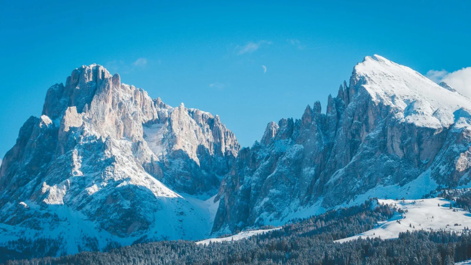
Moon Peak rises prominently above the Kangra Valley in the rugged Dhauladhar Range, offering one of the region's most demanding non-technical summit objectives. The trek begins near McLeod Ganj, passing familiar landmarks such as Triund and Laka Got before entering increasingly rocky alpine terrain.
Above Lahesh Cave, the route leaves standard trekking trails behind and climbs steep scree slopes, glacial moraines, and exposed ridgelines toward the summit. Depending on the chosen itinerary and seasonal conditions, teams may follow slightly different summit approaches.
The final ascent requires good balance, confidence on loose rock, and strong endurance. Extensive views across the Dhauladhar Range, Kangra Valley, and surrounding Himalayan peaks reward the effort.
Quick Facts
Duration
Max Altitude
Difficulty
Best Time
Trek Distance
Trail Atmosphere
Stargazing
Class 2 Dark Sky
Scent Profile
Silence Level
~20 dB
Vertigo Factor
4 / 10
Iconic Spots
Triund Ridge
Moon Peak Summit
Environment
Nature & Culture
Flora & Fauna
Flora
Fauna
The Indrahar Pass is an ancient trading and migratory route connecting the Kangra valley to the Chamba valley.
— Local folklore
Spiritual & Cultural Significance
McLeod Ganj is the residence of the Dalai Lama. The mountains themselves are sacred to the Gaddi tribes.
🕐 Shrine Timings: Tsuglagkhang Complex in McLeod Ganj is open daily.
Temple Protocols
Technical Details
Challenge & Preparation
Primarily a cardio demand and joint & muscle impact challenge
A demanding expedition dominated by extreme cardio demand.
Personal Readiness
Am I ready?
Planning
Logistics & Trail Intel
Getting There
Route to Base
Fly to Kangra Airport or take an overnight Volvo bus from Delhi to McLeod Ganj
Base Village
McLeod Ganj / Dharamshala
6,800 ft
Last ATM
McLeod Ganj
Nearest Medical Facility
Zonal Hospital, Dharamshala
Mobile Signal
Drops dead past Snowline Cafe.
Water Sources
Cafes up to Snowline. Glacial stream at Laka Got. Dry above Lahesh Cave.
Charging
Triund cafes offer paid charging (solar), but it is unreliable.
For Drivers
Road Condition
McLeod Ganj is easily accessible by excellent roads from Dharamshala.
Dharamshala
Trail Culinary & Diet
Don't miss the Tibetan Momos & Thukpa (at base)
Buy specialized diet items at McLeod Ganj
The Content & Remote Hub
Top Vlog Spots
Video Calls
base_village_only
Est. 15 Mbps
UPI Reliability
4/10
Base WiFi Available
Permits and Regulations
Forest permits are required for camping beyond Triund. These are typically arranged by trekking agencies at the Forest Checkpost near Dharamkot.
Learn more about how we vet operators and ensure transparency on our why MountRoutes page.
Packing List
Clothing
- Heavy down jacket (-5°C rating)
- Gore-Tex windproof outer shell
- Thermal base layers (Top & Bottom)
- Fleece mid-layers
- Windproof trekking trousers
Footwear
- High-ankle trekking boots (B/C series)
- Merino wool trekking socks (x4 pairs)
- Microspikes (Mandatory for May/June)
- Camp shoes (crocs or lightweight sneakers)
Camping & Gear
- 4-season sleeping bag (-10°C comfort)
- Category 4 UV sunglasses (Snow blindness risk)
- Trekking poles with rock baskets
- 40-50L backpack with rain cover
Health & Essentials
- Diamox (Acetazolamide) for AMS
- Sunscreen (SPF 50+) and lip balm
- Personal First Aid Kit (Blisters/Pain)
- 2L insulated water bottles
Deep Dives
Explore Further
Editor's Notes
Explore In Detail
Day by Day Itinerary
5-day route reaching 15,250ft. Covers 46.0km of varied terrain.
→ See full itinerary with altitude profileDifficulty & Fitness
Rated challenging. Transitions from a wide, paved forest trail to some of the most aggressive, jagged boulder fields in Himachal.
→ See difficulty breakdown and fitness guideCost & Pricing
Packages range from 10,000 - 15,000 INR. Inclusions and hidden costs vary by operator tier.
→ See full cost breakdownFrequently Asked Questions
Is Moon Peak a technical climb?
It is classified as a 'Trekking Peak'. While it does not require ropes or ice axes in the autumn season, the final ascent from Indrahar Pass involves intense rock scrambling, boulder hopping, and negotiating steep, loose scree.
Can I do this as my first trek?
Absolutely not. The rapid altitude gain from McLeod Ganj to 15,250 ft, combined with the rugged terrain above Lahesh Cave, requires prior high-altitude trekking experience and excellent cardiovascular fitness.
Is there snow on the summit?
In May and June, expect significant snow from Lahesh Cave onwards, requiring microspikes and gaiters. By September and October, the route is mostly dry, exposed rock.
Will I sleep inside Lahesh Cave?
Lahesh Cave is a natural rock overhang used by Gaddi shepherds. Depending on your operator and group size, you may camp inside the cave or pitch tents in the immediate vicinity.
Are there water sources above Triund?
Water is available at Snowline Cafe and Laka Got via glacial streams. However, the final summit day from Lahesh Cave is completely dry. You must carry 2-3 liters of water from camp.
Will my phone work on the trek?
You will get an intermittent Jio/Airtel signal at Triund. Once you cross Snowline Cafe towards Laka Got, expect a complete network blackout.
What is the hardest day?
Day 4 is extremely demanding. You will climb from 11,500 ft to 15,250 ft and descend back down to 10,500 ft in a single, 12-14 hour push.
Do I need a guide if I've been to Triund?
Yes. The trail beyond Triund becomes highly fragmented and confusing in the moraine. Above Lahesh Cave, thick fog can roll in rapidly, making route-finding without a local guide incredibly dangerous.
Still deciding?
Compare routes side-by-side to find the perfect match for your fitness, dates, and budget.
Everything you need to know, in one place. Someone else in your group needs to see this.
Planning Moon Peak Trek?
Get route conditions, operator updates, and season windows before booking.
Don't miss out! Follow us for route updates@mountroutes|LinkedIn
No spam. Only useful trek updates.
Ready to walk this route?
You’ve read the guide, now find the perfect local team to take you there. Compare our verified list of operators.
Compare verified operators