
Explore
Intelligence
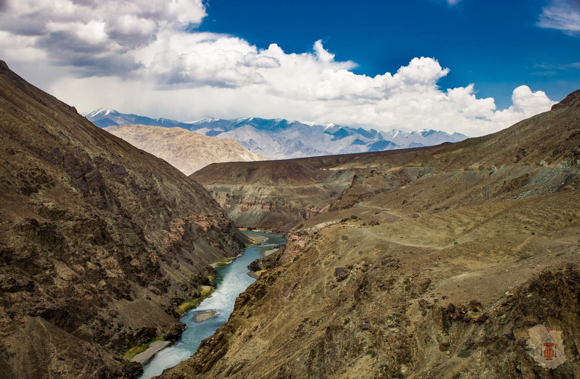
Detailed Route
Matho La Trek Itinerary — Day by Day Route & Camps
5 days crossing three 15,000+ ft passes in Hemis National Park.
Standard RouteThis is the standard mountain pacing for this trek. Specific operators may add an acclimatization day or alter the starting point. Check individual operator schedules for their exact logistics.
Duration
5 Days
Total Distance
49.0 KM
Max Altitude
16,200 FT
Trek Type
circuit
Permits Required Before You Go
Permit Cost
Where to Get
Leh
Documents
ID
Foreign Nationals
PAP required.
Foreigner Process
PAP in Leh.
Nearest Embassy Hub
New Delhi
Day by Day Breakdown
Camp Alt
13,100 ft
Day Gain
+1,600 ft
Drive to Martselang & Trek to Chogdo
Drive past Hemis to Martselang. Begin trekking up the gorge to the small hamlet of Chogdo.
Key Landmarks
Staying At
Crossing the high-altitude pass bridges two distinct watershed systems, shifting the expedition over the glaciated divide and down into a new river basin.
Field Notes
KEY ACTIONRiver Crossings
Plan to cross early in the day before snowmelt swells the water levels. Unclip backpack waist belts before crossing.
Use Trekking Poles
Trekking poles are highly recommended to save your knees on the descent.
INFOSlower Progress
Progress will be significantly slower and more taxing on your ankles than trail distance suggests.
Camp Alt
14,200 ft
Day Gain
+1,100 ft
Reach Gyuncho La Base Camp
A steep ascent towards Gyuncho La (15,000 ft), followed by a descent into a high barren valley.
Key Landmarks
Staying At
Crossing the high-altitude pass bridges two distinct watershed systems, shifting the expedition over the glaciated divide and down into a new river basin.
Field Notes
Use Trekking Poles
Trekking poles are highly recommended to save your knees on the descent.
INFOSlower Progress
Progress will be significantly slower and more taxing on your ankles than trail distance suggests.
Camp Alt
14,300 ft
Day Gain
+100 ft
Cross Shang La & Reach Matho Phu
Ascend the steep switchbacks to Shang La (15,750 ft) before dropping down to the high pastures of Matho Phu.
Key Landmarks
Staying At
Crossing the high-altitude pass bridges two distinct watershed systems, shifting the expedition over the glaciated divide and down into a new river basin.
Field Notes
KEY ACTIONHelmet Mandatory
Helmet mandatory. Move quickly and quietly through the rockfall zone without stopping to rest.
Use Trekking Poles
Trekking poles are highly recommended to save your knees on the descent.
INFOSlower Progress
Progress will be significantly slower and more taxing on your ankles than trail distance suggests.
Camp Alt
14,700 ft
Day Gain
+400 ft
Today's Objective
🏔 Cross Cross Matho La
The highlight day. Ascend Matho La (16,200 ft) for incredible views of the Stok Kangri massif, then descend to Mankarmo.
Key Landmarks
Staying At
Crossing the high-altitude pass bridges two distinct watershed systems, shifting the expedition over the glaciated divide and down into a new river basin.
Field Notes
KEY ACTIONHelmet Mandatory
Helmet mandatory. Move quickly and quietly through the rockfall zone without stopping to rest.
Use Trekking Poles
Trekking poles are highly recommended to save your knees on the descent.
INFOSlower Progress
Progress will be significantly slower and more taxing on your ankles than trail distance suggests.
Camp Alt
11,500 ft
Day Gain
-3,200 ft
Trek to Stok & Drive to Leh
A fast, downhill walk through the gorge to Stok village, followed by a short drive back to Leh.
Key Landmarks
The high alpine meadows narrow into forested river terraces as tree line vegetation reappears in the lower mountain river corridor.
Field Notes
Use Trekking Poles
Trekking poles are highly recommended to save your knees on the descent.
INFOSlower Progress
Progress will be significantly slower and more taxing on your ankles than trail distance suggests.
Trek Extensions & Add-ons
Stok Kangri Base Camp
+1 DayExtend from Mankarmo to visit Stok Kangri BC.
Plan Your Trek:
Ready to book? Compare verified operators for Matho La Trek — transparent pricing, no paid rankings.
Still deciding?
Compare routes side-by-side to find the perfect match for your fitness, dates, and budget.
Day by day, camp by camp. Send this to your group so everyone's on the same page.
Step 4: Cost & Logistics
You understand the route.
Now see what services, permits, and logistics actually cost.
View Cost Breakdown