
Explore
Intelligence
Detailed Route
Kundli Pass Trek Itinerary — Day by Day Route & Camps
A 4-day immersive expedition traversing diverse Himalayan landscapes and alpine altitudes.
Standard RouteThis is the standard mountain pacing for this trek. Specific operators may add an acclimatization day or alter the starting point. Check individual operator schedules for their exact logistics.
Duration
4 Days
Total Distance
35 KM
Max Altitude
14,500 FT
Trek Type
linear
Permits Required Before You Go
Permit Cost
Where to Get
Dharamshala DFO
Documents
Aadhar/Passport
Foreign Nationals
No restrictions.
Foreigner Process
No special permits required.
Nearest Embassy Hub
New Delhi
Day by Day Breakdown
Camp Alt
8,500 ft
Day Gain
+3,500 ft
Reach Forest Camp
A relentless uphill slog starting almost immediately from the roadhead. You leave civilization behind rapidly, pushing deep into ancient oak and rhododendron forests.
Key Landmarks
Staying At
The team holds position within the alpine meadow basin, monitoring weather patterns and adapting to the thinning atmosphere.
Camp Alt
11,500 ft
Day Gain
+3,000 ft
Reach High Camp
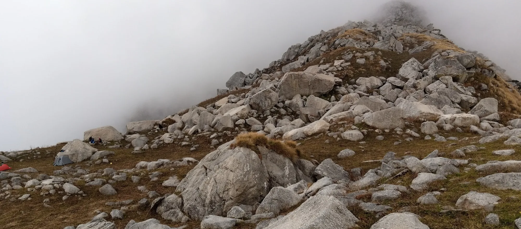
Exit the thick forests and enter the harsh, windswept alpine zone. Establish your advance camp just below the massive boulder fields guarding the pass to acclimatize.
Key Landmarks
Staying At
The route navigates deeper into the forested gorge toward the pass approach.
Field Notes
Use Trekking Poles
Trekking poles are highly recommended to save your knees on the descent.
INFOSlower Progress
Progress will be significantly slower and more taxing on your ankles than trail distance suggests.
Camp Alt
11,500 ft
Day Gain
0 ft
Today's Objective
🏔 Summit Summit Kundli Pass
A brutal, pre-dawn start. The terrain is entirely loose rock and massive boulders. Attaining the pass acts as a physical crucible. The views into Chamba are phenomenal. Carefully descend back to camp.
Key Landmarks
Staying At
Crossing the high-altitude pass bridges two distinct watershed systems, shifting the expedition over the glaciated divide and down into a new river basin.
Field Notes
Use Trekking Poles
Trekking poles are highly recommended to save your knees on the descent.
INFOSlower Progress
Progress will be significantly slower and more taxing on your ankles than trail distance suggests.
Camp Alt
5,000 ft
Day Gain
-6,500 ft
Trek to Roadhead & Drive to Dharamshala
A knee-destroying, constant 6,000 ft descent all the way back to the roadhead in Kangra valley. Transfer back to your hotel in Dharamshala/McLeodganj.
Key Landmarks
Crossing the high-altitude pass bridges two distinct watershed systems, shifting the expedition over the glaciated divide and down into a new river basin.
Trek Extensions & Add-ons
Chamba Descent
+2 DaysCross the pass completely and descend via Chhhatrari or Kuarsi to exit in the Chamba valley. Requires massive logistical prep.
Plan Your Trek:
Ready to book? Compare verified operators for Kundli Pass Trek — transparent pricing, no paid rankings.
Still deciding?
Compare routes side-by-side to find the perfect match for your fitness, dates, and budget.
Day by day, camp by camp. Send this to your group so everyone's on the same page.
Step 4: Cost & Logistics
You understand the route.
Now see what services, permits, and logistics actually cost.
View Cost Breakdown