
Explore
Intelligence
Detailed Route
Kashmir Great Lakes Trek Itinerary — Day by Day Route & Camps
A 7-day immersive expedition traversing diverse Himalayan landscapes and alpine altitudes.
Standard RouteThis is the standard mountain pacing for this trek. Specific operators may add an acclimatization day or alter the starting point. Check individual operator schedules for their exact logistics.
Duration
7 Days
Total Distance
—
Max Altitude
12,010 FT
Trek Type
Standard
Permits Required Before You Go
Permit Cost
Where to Get
Srinagar Tourism Office
Documents
Aadhar/Passport Copy, 2 Passport Photos, Medical Certificate, Disclaimer Form
Foreign Nationals
Yes, Inner Line Permit is mandatory; must be booked via a registered local travel agency with a group of at least 2.
Foreigner Process
Foreigners require special clearance from the local administration/CID in Srinagar to trek in Kashmir. Processing takes time.
Nearest Embassy Hub
New Delhi
Day by Day Breakdown
Camp Alt
8,950 ft
Day Gain
+3,750 ft
Drive to Shitkadi
Acclimatize in green campsites along the Sindh river.
Key Landmarks
The motorable road navigates deeper into the mountain river corridor, where the landscape transitions from lower foothills into the steep, dense forested valleys.
Camp Alt
11,500 ft
Day Gain
+2,550 ft
Reach Nichnai
Steep climb through pine forests and birch woods.
Key Landmarks
The valley settlement gives way to a forested trail ascent toward Nichnai leading to the Nichnai meadow.
Camp Alt
12,010 ft
Day Gain
+510 ft
Today's Objective
🏔 Cross Vishansar Lake
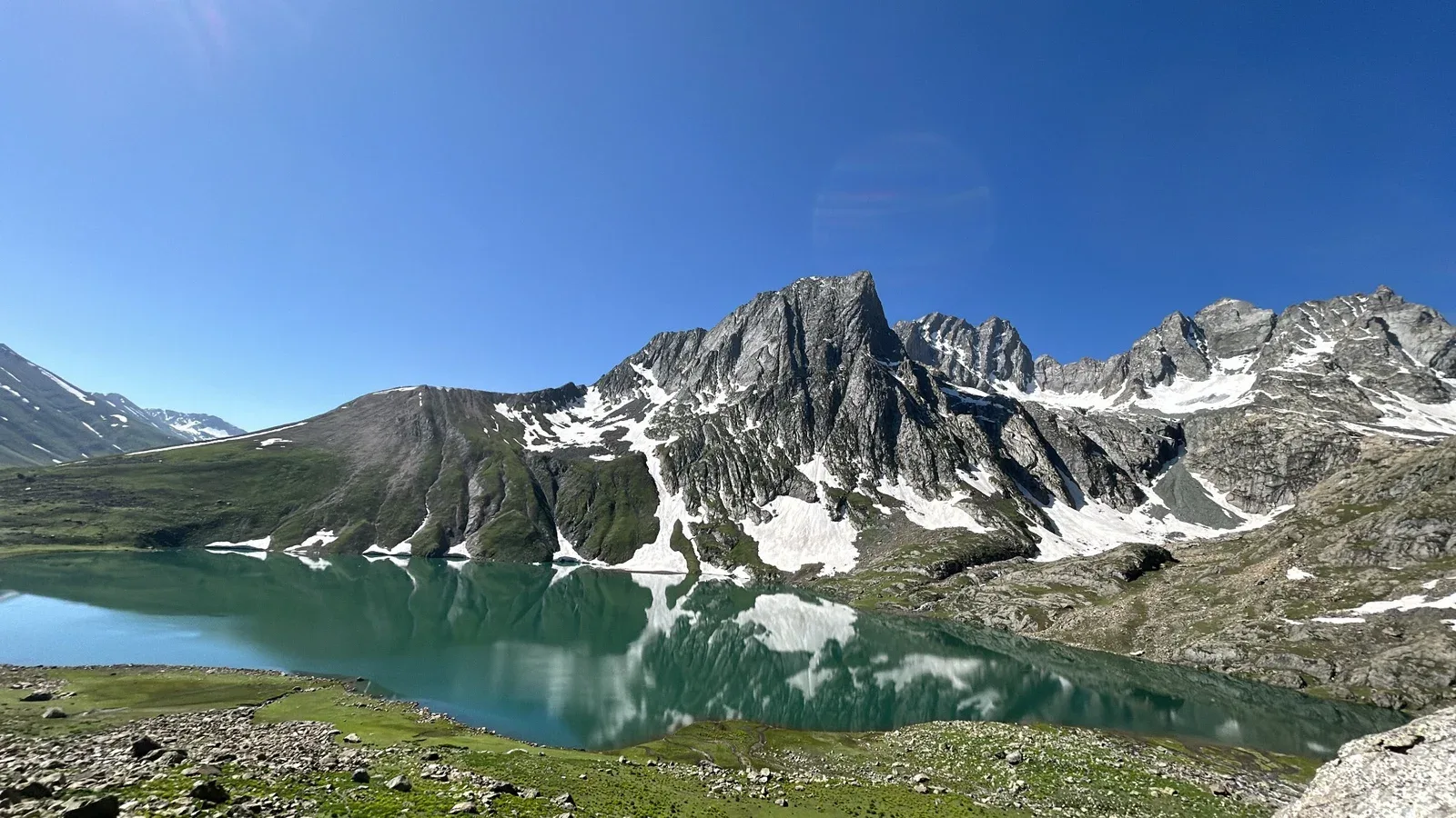
Cross Nichnai Pass to reach the first spectacular alpine lake.
Key Landmarks
The route transitions between basins at Nichnai Pass, entering the Vishansar basin.
Field Notes
Use Trekking Poles
Trekking poles are highly recommended to save your knees on the descent.
INFOSlower Progress
Progress will be significantly slower and more taxing on your ankles than trail distance suggests.
Camp Alt
10,760 ft
Day Gain
-1,250 ft
Today's Objective
🏔 Cross Vishansar Lake To Gadsar Via Gadsar Pass
Summit Day. Cross the highest pass on the trek down to pristine Gadsar lake.
Key Landmarks
Crossing the high-altitude pass bridges two distinct watershed systems, shifting the expedition over the glaciated divide and down into a new river basin.
Camp Alt
12,000 ft
Day Gain
+1,240 ft
Today's Objective
💧 Reach Satsar
Trek along open meadows to a collection of seven interconnected tarns.
Key Landmarks
The route navigates the interconnected lake basins of the Satsar meadow.
Field Notes
Use Trekking Poles
Trekking poles are highly recommended to save your knees on the descent.
INFOSlower Progress
Progress will be significantly slower and more taxing on your ankles than trail distance suggests.
Camp Alt
11,500 ft
Day Gain
-500 ft
Today's Objective
🏔 Cross Zaj Pass
Cross Zaj Pass for a jaw-dropping twin-lake panorama of Gangabal and Nundkol.
Key Landmarks
The route crosses Zaj Pass, transitioning into the massive Gangabal basin beneath Mount Harmukh.
Field Notes
Use Trekking Poles
Trekking poles are highly recommended to save your knees on the descent.
INFOSlower Progress
Progress will be significantly slower and more taxing on your ankles than trail distance suggests.
Camp Alt
5,200 ft
Day Gain
-6,300 ft
Trek to Naranag & Drive to Srinagar
Descend 11 km trek down to Naranag, drive 50 km to Srinagar.
Key Landmarks
The high Gangabal basin descends rapidly through the forest to the Naranag settlement.
Trek Extensions & Add-ons
Explore local culture in Sonamarg
+1 DayAdd a buffer day to explore local temples, cultural spots, and try signature local dishes like local breads and chutneys.
Plan Your Trek:
Ready to book? Compare verified operators for Kashmir Great Lakes Trek — transparent pricing, no paid rankings.
Still deciding?
Compare routes side-by-side to find the perfect match for your fitness, dates, and budget.
Day by day, camp by camp. Send this to your group so everyone's on the same page.
Step 4: Cost & Logistics
You understand the route.
Now see what services, permits, and logistics actually cost.
View Cost Breakdown