Detailed Route
Kalihani Pass Trek Itinerary — Day by Day Route & Camps
Standard RouteThis is the standard mountain pacing for this trek. Specific operators may add an acclimatization day or alter the starting point. Check individual operator schedules for their exact logistics.
Duration
6 Days
Total Distance
62 KM
Max Altitude
15,400 FT
Trek Type
linear
Permits Required Before You Go
Permit Cost
Where to Get
Forest Office, Manali
Documents
Aadhar/Passport, Medical Fitness Certificate
Foreign Nationals
No strict limitations since you technically remain in Kullu/Kangra, but permits must display passport info.
Foreigner Process
Standard forest division pass.
Nearest Embassy Hub
New Delhi
Day by Day Breakdown
Trek Manali to Lamadugh
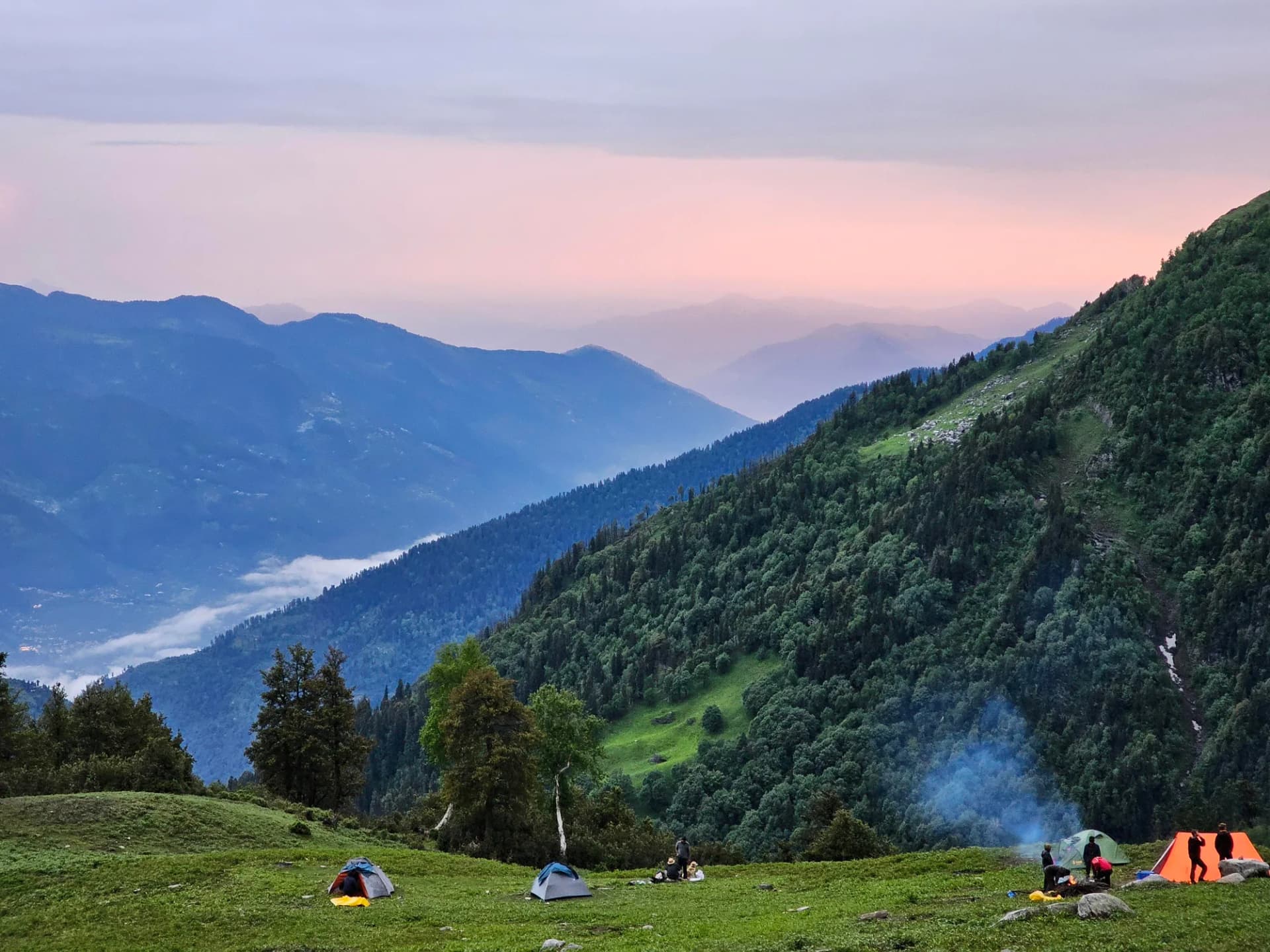
Start behind Hadimba Temple and climb steadily through thick deodar and oak forests. Break treeline gradually and enter the broad alpine meadows of Lamadugh with expansive views of the Dhauladhar and upper Kullu valley.
Key Landmarks
Staying At
Trek Lamadugh to Riyali Thach
Ascend grassy ridges above Lamadugh and traverse towards the high alpine grazing grounds of Riyali Thach. The terrain becomes more open with continuous views of the Pir Panjal range.
Key Landmarks
Staying At
Trek Riyali Thach to Kalihani Basecamp
Move deeper into the upper alpine basin as vegetation disappears and moraine terrain begins. Cross glacial streams and camp near the base of the Kalihani glacier system.
Key Landmarks
Staying At
Summit Kalihani Pass and Return to Basecamp
Begin before sunrise and climb gradually over moraine, snow slopes, and glacial sections to reach Kalihani Pass. The pass offers expansive views into the Bara Bhangal side before descending carefully back to basecamp.
Key Landmarks
Staying At
Trek Kalihani Basecamp to Riyali Lower
Descend gradually from the harsh moraine basin back into grassy alpine terrain. A recovery-oriented day after summit effort.
Key Landmarks
Staying At
Trek Riyali Lower to Manali
A long descent day dropping continuously through meadows and dense forest back into the Manali valley.
Key Landmarks
Trek Extensions & Add-ons
Bara Bhangal Transit
+7 DaysCross the pass into Bara Bhangal, navigate the river gorges, cross Thamsar Pass, and exit in Bir/Billing.
Also on this trek
Ready to book? Compare verified operators for Kalihani Pass Trek — transparent pricing, no paid rankings.
Still deciding?
Compare routes side-by-side to find the perfect match for your fitness, dates, and budget.
Day by day, camp by camp. Send this to your group so everyone's on the same page.
Love this itinerary?
Find operators who follow this exact route with verified acclimatization days.
Find matching operators