
Explore
Intelligence
Detailed Route
Junglam Trek Itinerary — Day by Day Route & Camps
A brutal, 10-day raw wilderness traverse from Hemis National Park, over the mighty Jhunglam ranges, down through endless river gorges, finally emerging into the ancient kingdom of Zanskar.
Standard RouteThis is the standard mountain pacing for this trek. Specific operators may add an acclimatization day or alter the starting point. Check individual operator schedules for their exact logistics.
Duration
10 Days
Total Distance
138.0 KM
Max Altitude
17,250 FT
Trek Type
linear
Permits Required Before You Go
Permit Cost
Where to Get
Leh DC Office / Checkpoint
Documents
Standard Govt ID / Passport
Foreign Nationals
No special PAP required for the core route, but passports are checked at Zangla and Padum.
Foreigner Process
No PAP required for this specific route. Keep passports handy for army checkposts.
Nearest Embassy Hub
New Delhi
Day by Day Breakdown
Camp Alt
12,000 ft
Day Gain
+500 ft
Hemis/Martselang to Shang Sumdo
After visiting the famous Hemis Monastery, drive to the roadhead at Martselang. The trek begins easily, following a dirt jeep track into the Hemis National Park, steadily ascending alongside the Shang river.
Key Landmarks
Staying At
Crossing the high-altitude pass bridges two distinct watershed systems, shifting the expedition over the glaciated divide and down into a new river basin.
Camp Alt
13,500 ft
Day Gain
+1,500 ft
Shang Sumdo to Lartse
The trail narrows into a steep gorge. You will cross the stream multiple times (a warm-up for what is to come). The landscape turns barren and dramatic. Camp at Lartse, the base for tomorrow's massive pass.
Key Landmarks
Staying At
The route follows the river valley. The path breaches the mountain barrier crossing the watershed.
Field Notes
Use Trekking Poles
Trekking poles are highly recommended to save your knees on the descent.
INFOSlower Progress
Progress will be significantly slower and more taxing on your ankles than trail distance suggests.
Camp Alt
13,600 ft
Day Gain
+100 ft
Today's Objective
🏔 Cross Lartse To Tachungtse Via Kongmaru La
A brutal ascent. The trail zigzags steeply up loose scree to Kongmaru La at 17,250 ft. The views of the Kang Yatse massif are stunning. The descent drops sharply into the Nimaling plains and then to the grazing pastures of Tachungtse.
Key Landmarks
Staying At
Crossing the high-altitude pass bridges two distinct watershed systems, shifting the expedition over the glaciated divide and down into a new river basin.
Field Notes
Use Trekking Poles
Trekking poles are highly recommended to save your knees on the descent.
INFOSlower Progress
Progress will be significantly slower and more taxing on your ankles than trail distance suggests.
Camp Alt
14,400 ft
Day Gain
+800 ft
Tachungtse to Yakrupal
Leaving the popular Markha Valley route, you veer south into absolute isolation. The trail follows the Langtang Chu river, gradually ascending through high-altitude meadows to the camp at Yakrupal.
Key Landmarks
Staying At
The environment transitions into open alpine meadows. The route follows the river valley.
Camp Alt
12,500 ft
Day Gain
-1,900 ft
Today's Objective
🏔 Summit Yakrupal to Tilat Sumdo via Zalung Karpo La
A massive day. The climb to Zalung Karpo La is long and visually stark. From the 16,900 ft pass, you cross the boundary from the Indus watershed into the remote Kharnak region. The steep descent leads to Tilat Sumdo, the confluence of several rivers.
Key Landmarks
Staying At
The route follows the river valley. The path breaches the mountain barrier crossing the watershed.
Field Notes
Use Trekking Poles
Trekking poles are highly recommended to save your knees on the descent.
INFOSlower Progress
Progress will be significantly slower and more taxing on your ankles than trail distance suggests.
Camp Alt
14,000 ft
Day Gain
+1,500 ft
Tilat Sumdo to Charchar La Base (The Gorge Day)
The defining day of the trek. You enter a deep, narrow, twisting gorge where there is no trail. You must forge up the river, crossing from bank to bank 30-40 times as the sheer cliffs cut off progress. The water is freezing and fast.
Key Landmarks
Staying At
Crossing the high-altitude pass bridges two distinct watershed systems, shifting the expedition over the glaciated divide and down into a new river basin.
Field Notes
Use Trekking Poles
Trekking poles are highly recommended to save your knees on the descent.
INFOSlower Progress
Progress will be significantly slower and more taxing on your ankles than trail distance suggests.
Camp Alt
12,500 ft
Day Gain
-1,500 ft
Today's Objective
🏔 Summit Charchar La Base to Zangla Sumdo via Charchar La
The final major obstacle. The climb to Charchar La is steep but steady. Standing at 16,240 ft, you look down into the kingdom of Zanskar. The descent is steep into the Zumlung gorge, requiring several more river crossings to reach camp.
Key Landmarks
Staying At
Crossing the high-altitude pass bridges two distinct watershed systems, shifting the expedition over the glaciated divide and down into a new river basin.
Field Notes
Use Trekking Poles
Trekking poles are highly recommended to save your knees on the descent.
INFOSlower Progress
Progress will be significantly slower and more taxing on your ankles than trail distance suggests.
Camp Alt
11,000 ft
Day Gain
-1,500 ft
Zangla Sumdo to Zangla Village
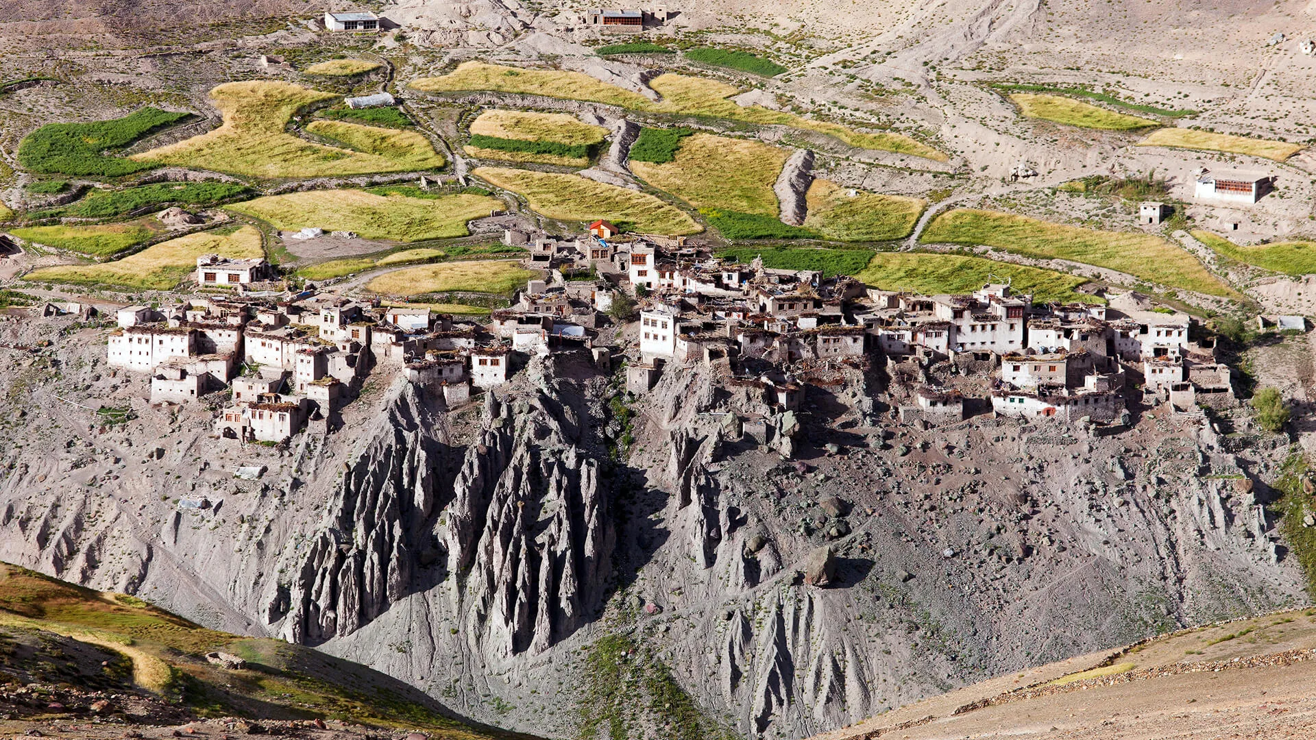
A final few river crossings in the morning before the gorge suddenly spits you out onto the vast, open plains of the main Zanskar valley. You walk into the historic village of Zangla, dominated by its ancient ruined fort.
Key Landmarks
Staying At
Crossing the high-altitude pass bridges two distinct watershed systems, shifting the expedition over the glaciated divide and down into a new river basin.
Field Notes
Use Trekking Poles
Trekking poles are highly recommended to save your knees on the descent.
INFOSlower Progress
Progress will be significantly slower and more taxing on your ankles than trail distance suggests.
Camp Alt
11,500 ft
Day Gain
+500 ft
Zangla to Karsha
The route now follows the main Zanskar valley floor. Because a motorable road now exists here, many trekkers opt to take a jeep. If walking, the trail visits the stunning Stongdey monastery before crossing the river to Karsha.
Key Landmarks
Staying At
Crossing the high-altitude pass bridges two distinct watershed systems, shifting the expedition over the glaciated divide and down into a new river basin.
Camp Alt
11,800 ft
Day Gain
+300 ft
Karsha to Padum
A short, easy walk (or drive) into Padum, the administrative heart of Zanskar. The expedition officially ends here, where hot showers, ATMS, and restaurants await.
Key Landmarks
Staying At
Tree line disappears as the valley broadens into a spectacular high-altitude alpine meadow basin, replacing the dense forests with expansive grazing pastures.
Trek Extensions & Add-ons
Phuktal Monastery Add-On
+3 DaysAfter reaching Padum, take a 3-day excursion deep into the Lungnak valley to visit the incredible cliffside Phuktal Monastery.
Plan Your Trek:
Ready to book? Compare verified operators for Junglam Trek — transparent pricing, no paid rankings.
Still deciding?
Compare routes side-by-side to find the perfect match for your fitness, dates, and budget.
Day by day, camp by camp. Send this to your group so everyone's on the same page.
Step 4: Cost & Logistics
You understand the route.
Now see what services, permits, and logistics actually cost.
View Cost Breakdown