
Explore
Intelligence
Essential Planning Guide
Junglam Trek — Complete Guide (2026)
Vibe & Scenery
The Experience
Introduction
The Junglam Trek is among the longest and most demanding trekking routes in Ladakh, linking Hemis National Park with the remote settlements of Zanskar. Often referred to as the Junglam Traverse, it crosses Kongmaru La, Zalung Karpo La, and Charchar La while covering vast stretches of isolated mountain terrain.
Although the altitude is significant, the defining challenge comes from repeated river crossings through cold, fast-flowing streams that must often be negotiated several times each day. Narrow canyons, colourful rock formations, and immense mountain landscapes create one of the Himalayas' most memorable expedition experiences.
Strong acclimatization, excellent endurance, and previous high-altitude trekking experience are essential for completing this route safely.
Quick Facts
Duration
Max Altitude
Difficulty
Best Time
Trek Distance
Trail Atmosphere
Stargazing
Class 1 Dark Sky
Scent Profile
Silence Level
~10 dB
Vertigo Factor
6 / 10
Iconic Spots
Kongmaru La Summit
The Jhunglam Gorge
Zangla Fort
Environment
Nature & Culture
Flora & Fauna
Flora
Fauna
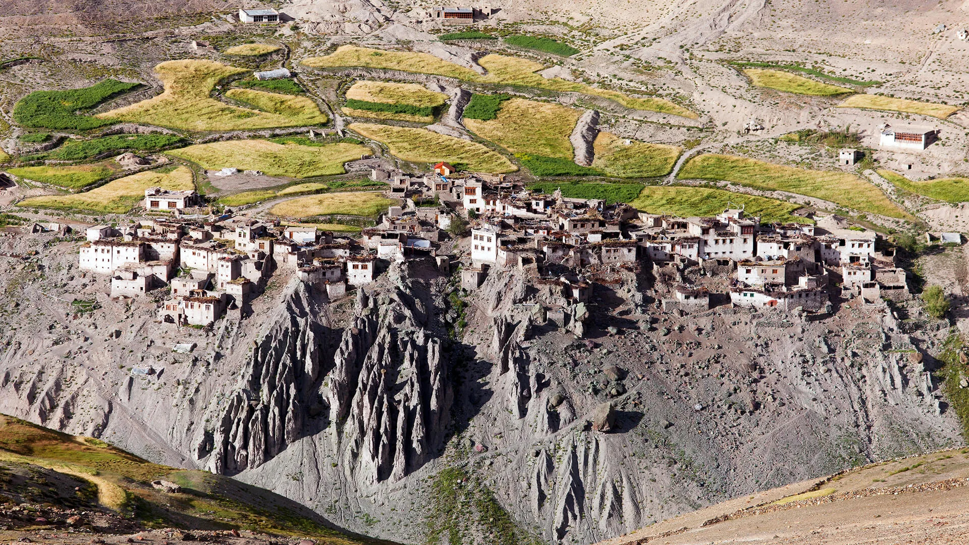
Zangla was the ancient capital of the Zanskar kingdom. Its ruined hilltop fort offers commanding views of the valley that historically protected the kingdom from invaders.
— Local folklore
Spiritual & Cultural Significance
Hemis Monastery (start) is the wealthiest and largest in Ladakh. Karsha Monastery (end) is the largest in Zanskar.
🕐 Shrine Timings: Daylight hours
Temple Protocols
- •Dress modestly.
- •Remove shoes before entering prayer halls.
Festivals & Dates
Technical Details
Challenge & Preparation
Primarily a cardio demand and cumulative fatigue challenge
A demanding expedition with extreme cardio demand and cumulative fatigue.
Personal Readiness
Am I ready?
Planning
Logistics & Trail Intel
Getting There
Route to Base
Fly to Leh
Rest for 3 days
Drive 1 hour from Leh to Hemis/Martselang to begin
To return from Padum, drive 2 days via Kargil to Leh, or take the newly constructed direct Nimmu-Padum road
Base Village
Hemis (Start) / Padum (End)
11,500 ft
Last ATM
Leh (Start), Padum (End)
Nearest Medical Facility
Leh SNM Hospital (Start). Padum CHC (End).
Mobile Signal
Total blackout from Hemis to Zangla.
Water Sources
Rivers and streams. Water in the gorge is heavily silted; heavy filtration and purification tablets are mandatory.
Charging
Total blackout from Hemis to Zangla (8 days).
For Drivers
Road Condition
The drive back from Padum to Leh is a brutal, multi-day journey via Kargil. Check the status of the new direct Nimmu-Padum road to save 10 hours.
Leh (Start), Padum (End)
Trail Culinary & Diet
Don't miss the Thukpa
Buy specialized diet items at Leh
The Content & Remote Hub
No DronesDrones are generally prohibited in Hemis National Park without explicit wildlife department clearance.Top Vlog Spots
Video Calls
none
Est. 0 Mbps
UPI Reliability
1/10
Base WiFi Available
Permits and Regulations
Indian Nationals require standard ID. Foreigners do not require a Protected Area Permit (PAP) for this specific traverse, but passports are checked at Zangla and Padum. A Hemis National Park entry fee is collected at the start.
Learn more about how we vet operators and ensure transparency on our why MountRoutes page.
Packing List
River Crossing Gear (Crucial)
- Heavy-duty water sandals or Crocs (MANDATORY, you cross rivers 50+ times)
- Neoprene socks (to prevent frostbite in glacial water)
- Trekking poles (for probing river depths and balance)
- Dry bags (to waterproof everything inside your backpack)
- Quick-dry trekking pants (avoid cotton at all costs)
Core Extreme Clothing Layers
- Expedition-grade Down jacket (rated to -10°C for high camps)
- High-quality Gore-Tex waterproof hard-shell jacket and pants
- Merino wool thermal base layers (top and bottom, x2)
- Thick fleece mid-layers
Footwear & Protection
- High-ankle, highly water-resistant trekking boots (for dry sections)
- Thick Merino wool trekking socks (x5 pairs)
- Waterproof gaiters for snow patches on the passes
Head & Hands
- Wide-brimmed sun hat (intense UV in the gorges)
- Category 4 polarized glacier glasses
- Fleece beanie and balaclava
- Waterproof insulated outer gloves and lightweight inner liners
Gear & Accessories
- 60-70 litre expedition backpack with rain cover
- High-lumen headlamp with spare lithium batteries
- Water purification tablets (essential, glacial silt is heavy)
- Comprehensive medical kit containing Diamox and blister care
- Satellite messenger/GPS (highly recommended for guides)
Deep Dives
Explore Further
Editor's Notes
Explore In Detail
Day by Day Itinerary
10-day route reaching 17,250ft. Covers 138.0km of varied terrain.
→ See full itinerary with altitude profileDifficulty & Fitness
Rated challenging. A brutal mix of steep, high-altitude pass crossings (scree and rock) and endless, freezing river-fording inside sheer slot canyons.
→ See difficulty breakdown and fitness guideCost & Pricing
Packages range from 45,000 - 70,000 INR. Inclusions and hidden costs vary by operator tier.
→ See full cost breakdownFrequently Asked Questions
Is this trek suitable for beginners?
Absolutely not. This is an Expedition Grade trek. It requires crossing three passes above 16,000 ft and navigating deep, freezing, fast-flowing rivers. Prior high-altitude and river-fording experience is mandatory.
How many times do we cross the river?
On the stretch between Tilat Sumdo and Zangla Sumdo, you will cross the Jumlam river and its tributaries upwards of 50 to 60 times. You will spend entire days walking in wet footwear.
Why is the trekking window so short?
The window is restricted to roughly August 15th to September 30th. Before mid-August, the river levels from glacial melt are too high and dangerous to cross. By October, heavy snow blocks the high passes.
Are there any homestays on this route?
No. Once you leave the Markha valley junction (Tachungtse) and head toward Zalung Karpo La, you are in total wilderness until you reach Zangla in Zanskar. You must carry full camping and food supplies.
How is the AMS risk?
Very high. You cross Kongmaru La (17,250 ft) on day 3 or 4. You must be fully acclimatized in Leh for 3 days prior to starting.
What happens in a medical emergency in the gorges?
Evacuation is incredibly difficult. Satellite phones are required. If caught in the deep gorges between Zalung Karpo La and Charchar La, a helicopter rescue is the only viable option, weather permitting.
Is there phone network?
Zero connectivity from the moment you leave Hemis/Shang Sumdo until you arrive in Padum 10 days later.
Has road construction ruined this trek?
The core Jhunglam section remains untouched wilderness. However, the final days from Zangla to Padum now follow a motorable dirt road, so many trekkers choose to take a taxi from Zangla to end the trek early.
Still deciding?
Compare routes side-by-side to find the perfect match for your fitness, dates, and budget.
Everything you need to know, in one place. Someone else in your group needs to see this.
Planning Junglam Trek?
Get route conditions, operator updates, and season windows before booking.
Don't miss out! Follow us for route updates@mountroutes|LinkedIn
No spam. Only useful trek updates.
Ready to walk this route?
You’ve read the guide, now find the perfect local team to take you there. Compare our verified list of operators.
Compare verified operators