Detailed Route
GHNP Tirth Source Trek Itinerary — Day by Day Route & Camps
A 7-day deep wilderness traverse through the Tirthan Valley into the upper GHNP buffer zone, reaching the glacier snout basin — one of the most remote accessible valleys in Himachal Pradesh.
Standard RouteThis is the standard mountain pacing for this trek. Specific operators may add an acclimatization day or alter the starting point. Check individual operator schedules for their exact logistics.
Duration
7 Days
Total Distance
79 KM
Max Altitude
14,500 FT
Trek Type
linear
Altitude Profile
👆 Interactive Route: Tap map to explore segment insights
Points show end-of-day camp altitude. Summit days show peak altitude reached.
Permits Required Before You Go
Permit Cost
Where to Get
GHNP Wildlife Warden Office, Shamshi, Kullu (apply 4-6 weeks in advance)
Documents
Aadhar/Passport, Medical fitness certificate, GHNP form with certified guide countersignature, Detailed expedition plan
Foreign Nationals
Additional premium permit rate. May require expedition documentation from home country national park authority.
Foreigner Process
Higher rate GHNP expedition permit. Passport mandatory for all GHNP documentation.
Nearest Embassy Hub
Kullu / Shimla / New Delhi
Day by Day Breakdown
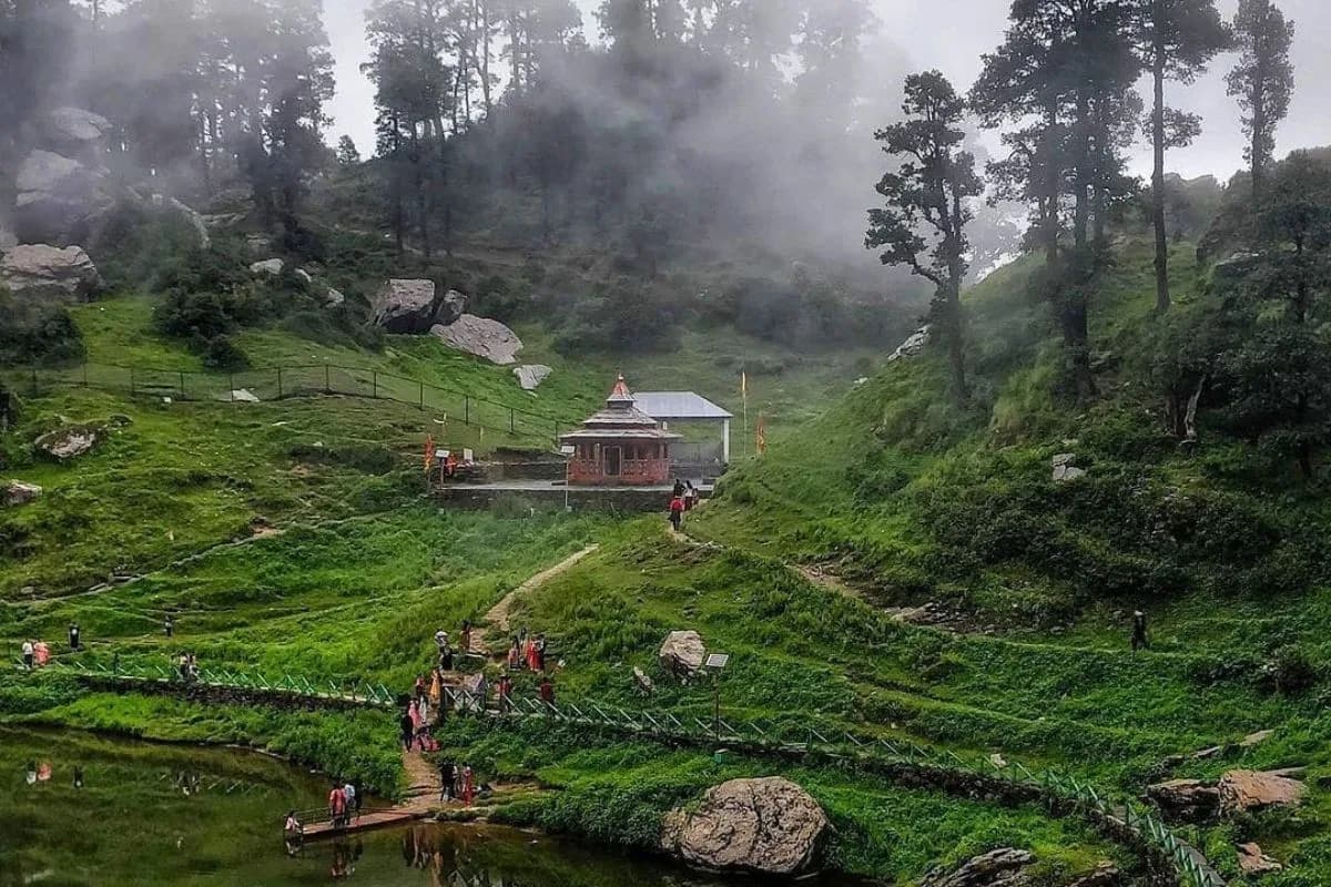
Gushaini to Rolla — River Trail
The relaxed river walk from Gushaini to Rolla. Register permits/checkpoint formalities at the Rolla forest post if required by current GHNP regulations.
Key Landmarks
Staying At
Rolla to Shilt Hut — The Root Forest Climb
The brutal root-forest ascent to Shilt Hut — 3,100 ft in 6 km. The most physically demanding day of the whole expedition.
Key Landmarks
Staying At
Shilt Hut to Rakhundi Top, Rakhundi Top Exploration & Move to Upper Basin Camp.
Summit Rakhundi Top in the morning, then descend and continue north into the upper Tirthan valley — entering terrain seen by very few outsiders.
Key Landmarks
Staying At
Acclimatization & Upper Valley Exploration
Rest and acclimatization day. Short exploration walks. Monitor blood oxygen readings. Wildlife observation in the pristine upper valley.
Key Landmarks
Staying At
Upper Valley to High Camp Below Tirth Source
Enter the upper glacial basin. The Tirthan river braids into multiple channels here — each feeding from a different glacier lobe. Camp at a high, protected moraine shelf.
Key Landmarks
Staying At
Reach Tirthan River Source (14,500 ft) — Return to High Camp
The destination day. Explore the upper glacial basin feeding the Tirthan river system before returning to high camp. The visual and spiritual impact of standing at the source of a river you have followed for 6 days is profound. Return same day to high camp.
Key Landmarks
Staying At
Full Descent to Gushaini
A descent day, camp at Shilt.
Key Landmarks
Descent to Gushaini
Return to Gushaini Village
Key Landmarks
Trek Extensions & Add-ons
Upper Tirthan Pass Crossing
+5 DaysFrom the upper basin, experienced expedition teams can cross a high-altitude pass into the Parvati valley or the Kullu-Spiti divide with additional special permits.
Also on this trek
Ready to book? Compare verified operators for GHNP Tirth Source Trek — transparent pricing, no paid rankings.
Still deciding?
Compare routes side-by-side to find the perfect match for your fitness, dates, and budget.
Day by day, camp by camp. Send this to your group so everyone's on the same page.
Love this itinerary?
Find operators who follow this exact route with verified acclimatization days.
Find matching operatorsKnowledge Integrity
Help us keep this data ground-truth accurate.
This encyclopedia entry for GHNP Tirth Source Trek is curated from a mix of public survey records, first-hand climber accounts, and official permit logs. However, mountains are dynamic. If you have been on this route recently and noticed a change in terrain, water availability, or local regulations, we want to hear from you.
Community Vetted
Last Verified: May 2026
TREK DATABASE