
Explore
Intelligence
Detailed Route
Dodital & Darwa Pass Trek Itinerary — Day by Day Route & Camps
A meticulously structured 5-day journey commencing at Dehradun and completing at Dehradun. The trail progresses naturally through diverse climate zones, offering proper acclimatization milestones, scenic ridge highlights, and beautiful, high-value campsite locations.
Standard RouteThis is the standard mountain pacing for this trek. Specific operators may add an acclimatization day or alter the starting point. Check individual operator schedules for their exact logistics.
Duration
5 Days
Total Distance
41 KM
Max Altitude
13,600 FT
Trek Type
linear
Permits Required Before You Go
Permit Cost
Where to Get
Uttarkashi DFO Office
Documents
Aadhar Card, 2 Passport Photos
Foreign Nationals
Requires Inner Line equivalent clearance due to map proximity.
Foreigner Process
Must apply via DFO Uttarkashi with operator backing.
Nearest Embassy Hub
New Delhi
Day by Day Breakdown
Camp Alt
7,500 ft
Day Gain
+6,030 ft
Drive to Sangamchatti & Trek to Agoda
A massive driving day ending in a short 7km hike. From Sangam Chatti, you cross an iron bridge over the Asi Ganga and climb steeply on a paved path to the traditional Garhwali village of Agoda.
Key Landmarks
Staying At
The trail follows the mountain river corridor through a narrow, forested gorge, moving past traditional settlements into increasingly dense dense forested valleys.
Camp Alt
10,000 ft
Day Gain
+2,500 ft
Reach Dodital
A long, utterly enchanting walk entirely under the canopy of ancient Himalayan oak and rhododendron trees. You'll run parallel to the Asi Ganga. The trail ends suddenly at the massive, emerald green Dodital lake.
Key Landmarks
Staying At
The rugged alpine terrain opens up to reveal a spectacular high-altitude glacial tarn, serving as a critical hydrological node in the upper watershed.
Camp Alt
10,000 ft
Day Gain
0 ft
Today's Objective
🏔 Cross Trek To Darwa Pass
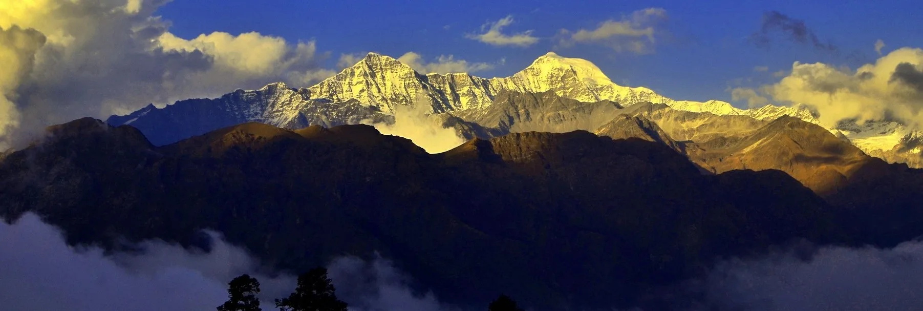
Leave the peaceful lake and enter the crucible. A punishing, hyper-steep 3,600ft climb up a narrow gully alongside the feeder stream. At the pass, the horizon explodes with the ice-walls of Bandarpunch.
Key Landmarks
Staying At
Crossing the high-altitude pass bridges two distinct watershed systems, shifting the expedition over the glaciated divide and down into a new river basin.
Field Notes
KEY ACTIONRiver Crossings
Plan to cross early in the day before snowmelt swells the water levels. Unclip backpack waist belts before crossing.
Camp Alt
7,500 ft
Day Gain
-2,500 ft
Reach Agoda / Bebra
Wake up to watch the golden trout swimming in the crystal lake shallows. Pack up and speed-hike the 14km downhill through the dense forest, breaking the tree-line at the quaint settlement of Bebra.
Key Landmarks
Staying At
The lake basin retraces the descent down the forested trail toward Agoda.
Camp Alt
2,100 ft
Day Gain
-5,400 ft
Trek to Sangamchatti & Drive to Dehradun
A fast morning descent back to the roadhead at Sangam Chatti. Board your vehicles for the winding 6-hour drive down the Bhagirathi valley back to Dehradun.
Key Landmarks
The high alpine meadows narrow into forested river terraces as tree line vegetation reappears in the lower mountain river corridor.
Trek Extensions & Add-ons
Yamunotri Cross-over
+3 DaysHardcore mountaineers cross Darwa pass and descend brutally down the other side directly into the Yamna valley to reach Yamunotri.
Plan Your Trek:
Ready to book? Compare verified operators for Dodital & Darwa Pass Trek — transparent pricing, no paid rankings.
Still deciding?
Compare routes side-by-side to find the perfect match for your fitness, dates, and budget.
Day by day, camp by camp. Send this to your group so everyone's on the same page.
Step 4: Cost & Logistics
You understand the route.
Now see what services, permits, and logistics actually cost.
View Cost Breakdown