Detailed Route
Yunam Peak Expedition Itinerary — Day by Day Route & Camps
A rapid 8-day expedition starting from the high-altitude highway of Bharatpur (15,000ft), featuring a brutal 14-hour midnight summit push.
Standard RouteThis is the standard mountain pacing for this trek. Specific operators may add an acclimatization day or alter the starting point. Check individual operator schedules for their exact logistics.
Duration
8 Days
Total Distance
35 KM
Max Altitude
20,049 FT
Trek Type
linear
Permits Required Before You Go
Permit Cost
Where to Get
IMF Portal (handled by operator)
Documents
Aadhar Card / Passport, Advanced Mountaineering Course Certificate (Sometimes requested privately)
Foreign Nationals
Significantly higher IMF royalty fees (Often $500+).
Foreigner Process
Expedition visa setup required if going via recognized bodies, though basic IMF peak fees act as a blanket cover for most commercial teams.
Nearest Embassy Hub
New Delhi
Day by Day Breakdown
Drive Manali to Keylong / Jispa
Drive through the Atal Tunnel directly into the Lahaul Valley. Mandatory stay at 10,500 ft to force initial acclimatization.
Key Landmarks
Staying At
Drive Jispa to Bharatpur Tent Colony
A massive drive gaining extreme altitude. Arrive at the barren highway settlement of Bharatpur. Rest entirely. Drink 5 liters of water.
Key Landmarks
Staying At
Acclimatization Walk around Bharatpur
Crucial day. Walk 1,000 ft up the nearby ridges and return to sleep at 15,000 ft to train your lungs.
Key Landmarks
Staying At
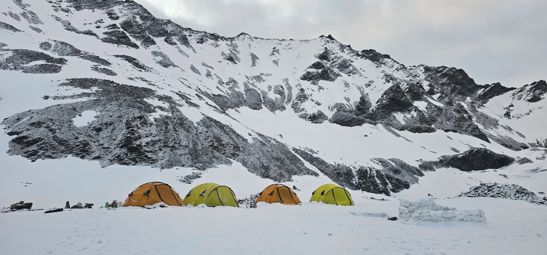
Trek Bharatpur to Base Camp
Leave the highway entirely. Walk into the barren mountains over loose scree and rocks to set up the high camp at an agonizing 17,000 ft.
Key Landmarks
Staying At
Rest, Load Ferry, and Summit Prep
Guides will scout the route. You sleep during the day. Eat an early dinner at 6 PM. Sleep by 7 PM in preparation for the midnight push.
Key Landmarks
Staying At
SUMMIT DAY: Base Camp to Yunam Peak and back
The push. Start walking by 1:00 AM. In the dark, climb steep snow and scree under headlamps. Reach the summit by 8:30 AM before the winds hit. Collapse back into Base Camp by 3 PM.
Key Landmarks
Staying At
Descend Base Camp to Bharatpur, Drive to Manali
Pack up the camp, hike the short distance back to the Leh highway, get in the waiting vehicles, and drive the 5-6 hours back to the oxygen-rich air of Manali.
Key Landmarks
Buffer Day
Mandatory buffer day held in case Day 6 has bad weather, preventing the summit push.
Staying At
Trek Extensions & Add-ons
Suraj Tal Exploration
+0 DayOn Day 3, walk down to the nearby Suraj Tal, a stunning emerald green glacial lake right on the highway.
Also on this trek
Ready to book? Compare verified operators for Yunam Peak Expedition — transparent pricing, no paid rankings.
Still deciding?
Compare routes side-by-side to find the perfect match for your fitness, dates, and budget.
Day by day, camp by camp. Send this to your group so everyone's on the same page.
Love this itinerary?
Find operators who follow this exact route with verified acclimatization days.
Find matching operators